Humminbird 720073-4 AS EC 30E (720073-4) AS EC 30E Ethernet Cable
Humminbird 720073-4 720073-4 Features: Cable Length: 30 Feet Ethernet Cable For Humminbird Models: 700 Series: 798ci HD*, 788ci HD DI*, 788ci HD* 800 Series: 858, 898, 899ci HD*, 859ci HD DI*, 859ci HD* 900 Series: 958, 998, 999ci HD*, 959ci HD DI*, 959ci HD* 1100 Series: 1157, 1197, 1158, 1198, 1199ci HD SI*, 1159ci HD DI*, 1159ci HD* HELIX Series: 9*, 10*, 12* ION Series: All ONIX Series: All
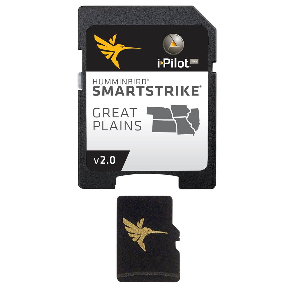
HUMMINBIRD SMARTSTRIKE GREAT PLAINS
HUMMINBIRD SMARTSTRIKE GREAT PLAINSSmartStrike - Great PlainsSmartStrike is a family of map cards that parallels the standard Humminbird LakeMaster editions. Coverage area and lake lists remain the same and both are compatible with Humminbird legacy models and the ONIX/ION units. The difference is that when a SmartStrike card is used in an ONIX/ION unit, it has the special capability of using the Contour Elite search functions on (and only on) any of the High Definition lake maps for that card. It's like looking into a digital crystal ball. The Humminbird SmartStrike takes you straight to the action by showing you where the fish are biting at any given moment. Based on search parameters like fish species, season, time of day, and weather conditions, the SmartStrike engine searches depth ranges, type of structure, proximity, and more to highlight areas on High Definition* lake maps where your prey is most likely to be located- before you even wet a line. Build a custom search based on criteria you choose, or click any location on a lake, select Find Similar Areas, and millions of data points are searched to return other areas like it. No more guessing, fruitless searching, or wasted casts. Just fishing. SmartStrike also brings the groundbreaking technology of Follow the Contour to your fingertips. When combined with a compatible i-Pilot Link system, your map card allows your boat to automatically follow a path directly on or offset from any contour, so you can focus on fishing. With the SmartStrike map card you enjoy all of the LakeMaster features including the following: i-Pilot Link compatibleEasy to read contoursDepth Highlight Range Water Level Offset Shallow Water Highlight Scrollable Lake ListCoverage and CompatibilityThe Humminbird SmartStrike Great Plains Edition, Version 2 Map Card combines many of the best fishing waters for Iowa, Illinois, Kansas, Missouri, and Nebraska all on one map card View all the lakes and elevations: Download the product lake list*SmartStrike full search functionality is exclusive to High-Definition waters only and Humminbird ONIX/ION units. WARNING: This product can expose you to chemicals including Naphthalene which is known to the State of California to cause cancer. For more information go to P65Warnings. ca. gov.
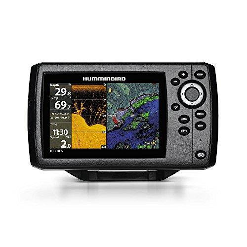
Humminbird Helix 5 Chirp Di Gps G2 Combo
HELIX 5 Chirp DI GPS G2The HELIX 5 CHIRP DI GPS G2 with an improved user interface and operating system, features a brilliant 800H x 480V, 5" 256 color display with backlight. CHIRP Down Imaging and DualBeam PLUS sonar with 4000 watts PTP power output, Precision Internal GPS Chartplotting with built-in UniMap cartography with a micro SD card slot for optional maps or for saving waypoints. Maximize your angling experience with the Humminbird HELIX 5 CHIRP DI GPS fishfinder GPS system. CHIRP Frequencies455 kHz: 420-520 kHz800 kHz: 790-850 kHzMaximum Depth: 600 feetDOWN IMAGING SONAR Down Imaging Sonar -- Get a fish-eye's view of what's happening below your boat. Incredible images are created with High-frequency sound waves. SWITCHFIRE SwitchFire Sonar -- Take command of how your sonar returns appear with our Clear and Max Modes. DUALBEAM PLUS SONAR Two beams combine for great detail and a wide coverage area. Use the narrow beam for high-accuracy returns and bottom. Use the wide beam when you want a larger search area. INTERNAL GPSGPS antenna built into the head unitUPGRADEABLE SOFTWARE Up-gradable Software -- Access software updates to enhance the performance of your Humminbird unit through our My Humminbird section of the siteHIGH DEFINITION DISPLAY Provides bright, crystal-clear images for easy viewing in harsh sunlightUNIMAP CARTOGRAPHY The Humminbird UniMap is a built-in map covering the contiguous US coastline, inland lakes and rivers at 30 meters per pixel resolutionAUTOCHART LIVE Make a map where there is no map. Our patent pending AutoChart Live allows you to create digital, detailed maps live and on the water. You can also use it to enhance your existing chartsSMARTSTRIKE SmartStrike takes you straight to the action by showing you where the fish are biting at any given moment. MICRO SD CARD READER Use for advanced cartography or to save screenshots, sonar recordings and waypoints or to update your units software. WARNING: This product can expose you to chemicals including 1, 3-Butadiene which is known to the State of California to cause cancer, birth defects or other reproductive harm. For more information go to P65Warnings. ca. gov.
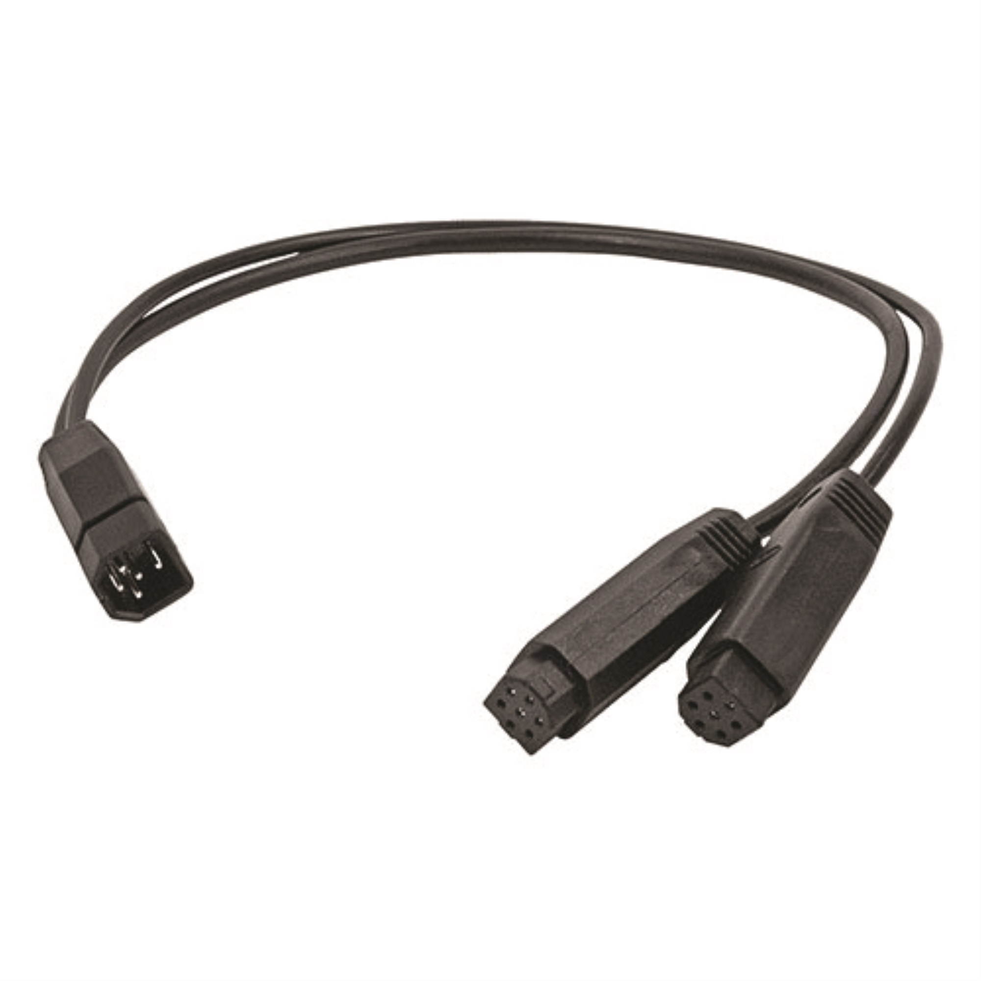
Humminbird 720101-1 9-Pin Side Imaging Dual Beam Splitter Cable
The Splitter Cable (Side Imaging and Dual Beam) allows you to use two transducers on one unit without the use of a transducer switch. for use with Side Imaging products only, in conjunction with a dual beam transducer. Improves high speed performance for bottom tracking. 30" length. Supports MEGA Side Imaging. Y Cable - Separates Side Imaging into left and right Side Beams Allows you to use two transducers on one unit without the use of a transducer switch For use with Side Imaging products only, in conjunction with a dual beam transducer Improves high speed performance for bottom tracking
16GB Turbo Speed Class 6 MicroSDHC Memory Card For SAMSUNG B3410W B5310 B5310R. High Speed Card Comes with a free SD and USB Adapters. Life Time Warra
"3G and 4G technology means mobile phones can now transfer data wirelessly faster than ever. This means new applications are possible including digital video recording, cameras, video playback, MP3 music, games, personal accounts and diaries, e-mail and voice recording. Once only available on personal computers, these powerful multimedia features are now supported on mobile phones as well. This makes TEAM's microSDHC memory cards with their high transfer rates the perfect match for the high resolution video and photography on mobile phones. TEAM microSDHC memory cards are based on original manufacturer Flash memory and fabricated using an advanced process that delivers fast data transfer rates as well as compact size. This means it's perfect for the new generation of mobile phones, 3G mobile phones and PDAs that offer high quality multimedia playback. Everything from digital photos, videos, MP3 music, games, maps and multimedia clips can be packed into this small card the size of a fingernail.? Fully compatible with SD 2.0 Standards? Only 10% the size of a standard SD card? SDHC Class 6 compliant? MicroSD adapter allows it to be used in standard SD Card slots, compatible with all SDHC-labeled host devices? Easy to use, plug-and-play operation? Built-in Error Correcting Code (ECC) to detect and correct transfer errors? Complies with Secure Digital Music Initiative (SDMI) portable device requirements? Supports Content Protection for Recordable Media (CPRM)? Allows In System Programming (ISP) for updating firmware? Supports auto-standby, power-off and sleep modes? Mechanical write-protection switch? RoHS compliant"
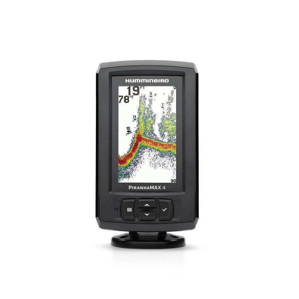
HUMMINBIRD 410150-1 PIRANHAMAX 4 FSH FNDR BLK
HUMMINBIRD 410150-1 PIRANHAMAX 4 FSH FNDR BLK HUMMINBIRD 410150-1 PiranhaMAX (TM) 4 MPN: 410150-1 082324048708
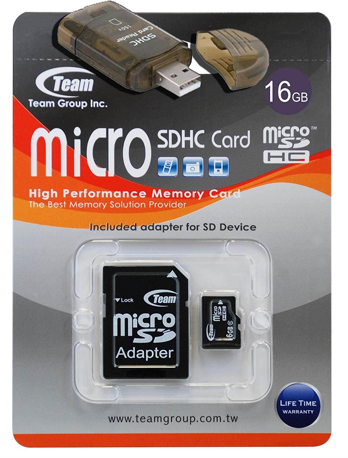
16GB Turbo Speed Class 6 MicroSDHC Memory Card For SAMSUNG SCR-R631 SEEK. High Speed Card Comes with a free SD and USB Adapters. Life Time Warranty.
"3G and 4G technology means mobile phones can now transfer data wirelessly faster than ever. This means new applications are possible including digital video recording, cameras, video playback, MP3 music, games, personal accounts and diaries, e-mail and voice recording. Once only available on personal computers, these powerful multimedia features are now supported on mobile phones as well. This makes TEAM's microSDHC memory cards with their high transfer rates the perfect match for the high resolution video and photography on mobile phones. TEAM microSDHC memory cards are based on original manufacturer Flash memory and fabricated using an advanced process that delivers fast data transfer rates as well as compact size. This means it's perfect for the new generation of mobile phones, 3G mobile phones and PDAs that offer high quality multimedia playback. Everything from digital photos, videos, MP3 music, games, maps and multimedia clips can be packed into this small card the size of a fingernail.? Fully compatible with SD 2.0 Standards? Only 10% the size of a standard SD card? SDHC Class 6 compliant? MicroSD adapter allows it to be used in standard SD Card slots, compatible with all SDHC-labeled host devices? Easy to use, plug-and-play operation? Built-in Error Correcting Code (ECC) to detect and correct transfer errors? Complies with Secure Digital Music Initiative (SDMI) portable device requirements? Supports Content Protection for Recordable Media (CPRM)? Allows In System Programming (ISP) for updating firmware? Supports auto-standby, power-off and sleep modes? Mechanical write-protection switch? RoHS compliant"

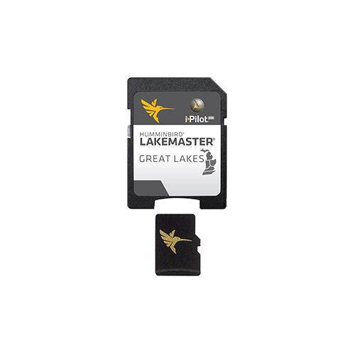
HUMMINBIRD 600015-7 Humminbird LakeMaster Great Lakes - v4 - microSD
HUMMINBIRD 600015-7 Humminbird LakeMaster Great Lakes - v4 - microSDMPN:600015-7UPC:332911664669LakeMaster Great Lakes - v4 - microSDThe Humminbird LakeMaster Great Lakes Edition, Version 4 micro map card has added over 140 new lakes, 50 High Definition waters to now boast contours for a total of over 1540 lakes with more than 380 lake maps in High Definition for Michigan, Indiana, and Ohio.Featuring:Updated shallow water areas for Lake Michigan and parts of Lake SuperiorFull coverage of Lake SuperiorAll of Lake Huron (now including Georgian Bay)Beaver Island on Lake Michigan in High DefinitionNew High Definition Survey of Lake St Clair (including the Canadian side)Updated the St. Clair River High Definition survey (including the Canadian side)Updated the Detroit River High Definition survey (including the Canadian side)High Definition survey of Syracuse, Kosciusko in IndianaHigh Definition survey of Wamplers, Lenawee in MichiganHigh Definition survey of Portage/Torch, Houghton in MichiganHigh Definition survey of Lower Grand and Spring Lake in MichiganAlso with the Great Lakes Version 4 micro SD map card you enjoy all of the LakeMaster features including the following:i-Pilot Link compatibleEasy to read contoursDepth Highlight RangeWater Level OffsetShallow Water HighlightScrollable Lake ListFind more info about i-Pilot Link here.NOTE: The Great Lakes product no longer includes Kentucky and Tennessee lakes. See the LakeMaster SouthEast Edition products for lakes in these states.
HUMMINBIRD 600028-1 Humminbird Contour Elite PC Software V3 Lake of the Woods/Rainy
HUMMINBIRD 600028-1 Humminbird Contour Elite PC Software V3 Lake of the Woods/RainyHumminbird Contour Elite Lake of the Woods / RainyModel: 600028-1Contour Elite is the only computer program that lets you view the incredible detail of Humminbird LakeMaster High Def lake mapsCreate a customized search by entering species, time of year, sets of pre-definied criteria, or your own custom search parameters to find the lakes best locationsMark desired locations on the map and export them to your GPS-equipped Humminbird fish finderKeep a record of past fishing trips to serve as a guide for future locations. Information such as water temperature, weather, and lures used can be very helpfulCompatible with Windows XP, Vista, Windows 7, Windows 8 and Windows 10Minimum PC requirements: 1Ghz Pentium 4 or Athlon CPU (2Ghz recommended); 512 MP Ram (1024 MB recommended); 10 GB Free hard drive; Windows XP or greater; DVD-ROM driveDont want to wait for the the retail package? Purchase the digital-only version and receive it immediately at contourelite.com/downloadOpened packages are not eligible for returnThe Contour Elite Woods-Rainiy Edition, Version 3, lets you access High Definition Humminbird LakeMaster lake data on your PC. Advanced features, combined with a user-friendly interface, let you search by fish species, key fishing structures, or your own customized search. The detail covers all U.S. and Canadian water from Big Narrow through Big Traverse and Sabaskong Bays North to Sioux Narrow and West beyond Deadbroke Channel.SpecificationsCurrent ModelsHELIX 10, HELIX 12, HELIX 5, HELIX 7, HELIX 9, ICE HELIX, SOLIX 10, SOLIX 12, SOLIX 15Discontinued Series1100 Series, 500 Series, 600 Series, 700 Series, 800 Series, 900 Series, ION, ONIXDeliveryPC SoftwareProduct TypeContour EliteRegionCanada, Minnesota MPN:600028-1082324039355

HUMMINBIRD 600045-4 Humminbird LakeMaster Chart NorthEast States PLUS - MicroSD - Version 2
HUMMINBIRD 600045-4 Humminbird LakeMaster Chart NorthEast States PLUS - MicroSD - Version 2MPN:600045-4NorthEast States PLUS - MicroSD - Version 2 Note: Opened packages will not be eligible for credit return. The Humminbird LakeMaster PLUS digital GPS map card series is a new family of map cards that parallels the standard Humminbird LakeMaster editions. Coverage area and lake lists remain the same and both are compatible with most Humminbird GPS models including the ONIX and ION units. PLUS has all of the features youve come to love from LakeMaster, but now allows for aerial image overlay on high definition waters. Now you have the ability to use quality aerial photography to view the entry and exits of creek channels, see how far a reef or weed line extends, pick out shallow water rock piles, steep drop-offs and other features of the lake youve been missing from traditional maps. LakeMaster PLUS gives you the freedom to choose how you want to use the aerial imagery. The Satellite Only This layer shows only aerial imagery and no other map information. The Satellite - Land This layer shows the LakeMaster map and the aerial imagery that extends around the body of water. The Satellite + Contours This layer shows the aerial imagery and just the LakeMaster contours so you can still pick out those features in the water while still seeing your depth. Each map card Edition covers some of the most popular water bodies in the region and the PLUS series also gives you access to all of the LakeMaster features including the following: i-Pilot Link compatibleEasy to read contoursDepth Highlight RangeWater Level OffsetShallow Water HighlightScrollable Lake List The micro card comes with an SD adaptor included to fit a wide range of Humminbird models.Visit www.Humminbird.com for compatibility
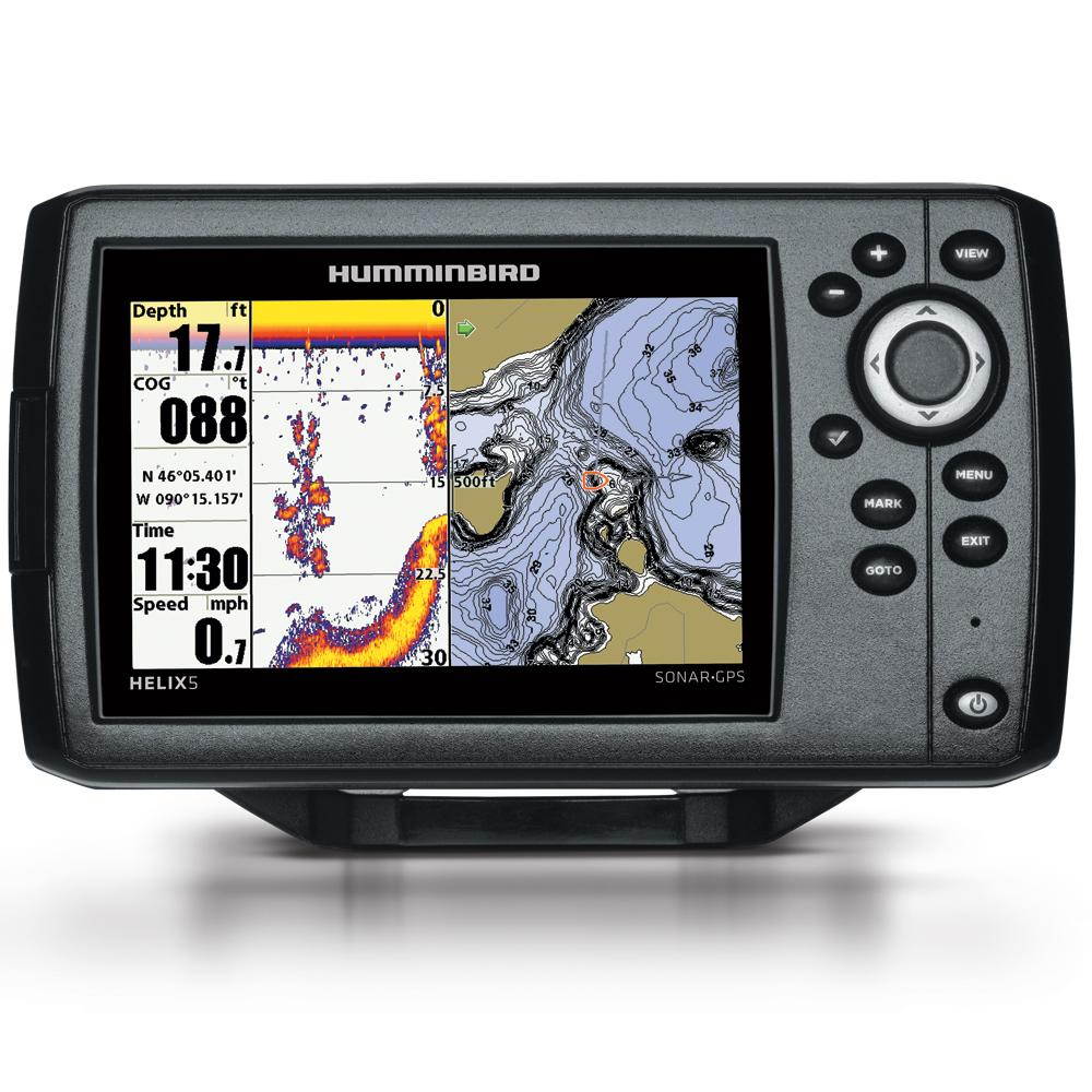
Humminbird Helix 5 Chirp Gps G2 Combo
The Humminbird HELIX 5 CHIRP GPS G2 Fishfinder boasts a crisp, widescreen color display with intuitive controls. DualBeam PLUS sonar uses a focused center beam and a second 60deg beam to expand your coverage to an area equal to your depth. The HELIX 5 CHIRP GPS G2 also has GPS. Precision GPS chartplotting uses built-in UniMap which covers the continental US coastlines, inland lakes and rivers. The microSD Card slot allows for external software use.. 5" color display with LED backlight. 800 x 480 resolution. SwitchFire sonar with Clear & Max modes. CHIRP digital sonar. DualBeam PLUS sonar for great detail & wide coverage area. Internal, precision GPS with built-in GPS antenna. Upgradeable software. Built-in UniMap covers the contiguous US coastline, inland lakes & rivers at 30m per pixel resolution. AUTOCHART Live creates detailed maps with depth, vegetation & bottom hardness. SmartStrike map card highlights areas of the lake where fish are most likely to be biting. microSD Card slot. 2, 750 waypoints/47 routes. Compatible with several optional mapping suites. 500W RMS/4, 000W peak-to-peak. Depth capability: 1, 500ft/2, 500ft with optional transducer. Includes transom mount transducer, cable & gimbal mount
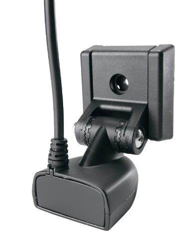
Humminbird 710198-1 XNT 9 20 T 83/200KHz Depth Transducer with Temperature Sensor and Transom Mount
Humminbird xnt 9 20 T depth transducer w/ Temp, manufacturer's part number 710198-1, 83/200Khz, 60/20 dig beam angles, with temperature sensor. Transom mount. Includes 20' cable with 7 pin modular connector.
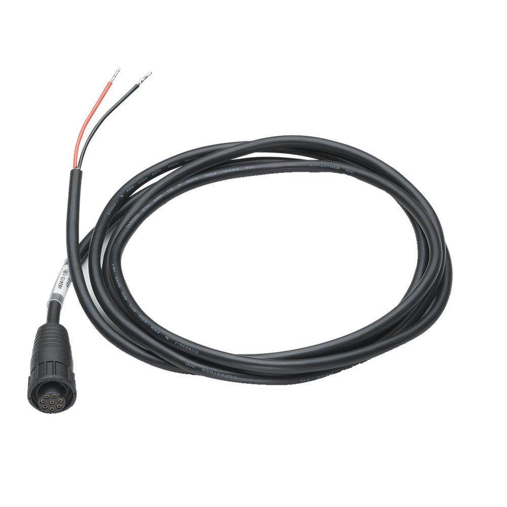
Humminbird 720085-1 PC12 ION/Onix Power Cord - 6039;
MPN: 720085-1 6 feet power cable for ION/ONIX products
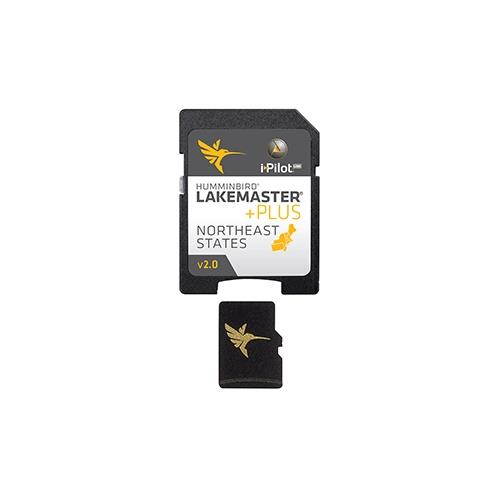
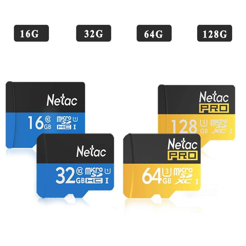
High Speed Microsd Memory Cards 16 GB 32 GB 64GB Memory Flash Card with SD Adapter Micro SD Read 80MB/S Write 80MB/S - Black/Yellow
product information:Type: TF (micro-SD) cardTransmission rate: 80 (MB/S)Read and write speed: 80 (MB / S)Applicable objects: MP4, MP3, card speaker, SLR, mobile phone, amplifier, PSP game console, cameraApplicable gifts occasions: awards commemorative, advertising promotions, festivals, trade fairs, weddings, housewarming, birthdays, business giftscolor: blueCapacity: 16GB, 32GB, 64GBSeries : TKExtended function : WUIdeal for high performance digital SLR cameras and HD camcorders, especially for ultra fast motion lenses, sports videos, HD video and other professional quality photographyFast transfer speed up to 80MB / s, waterproof, temperature-proof, anti-X-ray, anti-magnetic, shockproofCan store multiple pictures and fast transfer speeds, compatibility up to 80 MB / s, compatible with SDHC / SDXC and SDHC-I / SDXC-I devicesFull HD video (1080p) with excellent video recording performance with 10 levelsQuality Assurance: If you have any questions, please feel free to contact us via Amazon Email and we will respond within 24 hours.
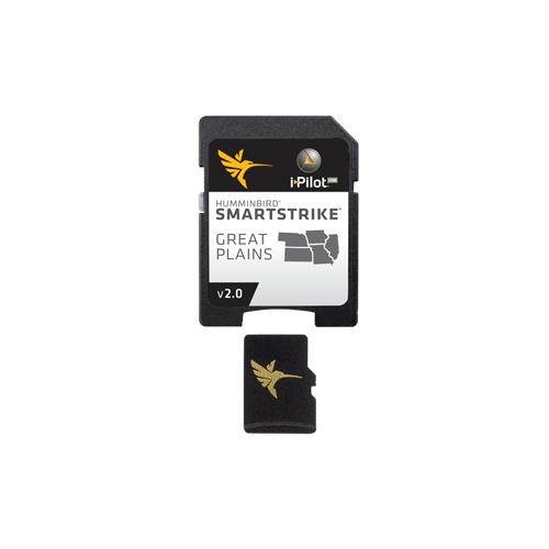
HUMMINBIRD 600036-2 Humminbird SmartStrike - Great Plains
HUMMINBIRD 600036-2 Humminbird SmartStrike - Great PlainsMPN:600036-2SmartStrike - Great PlainsSmartStrike is a family of map cards that parallels the standard Humminbird LakeMaster editions. Coverage area and lake lists remain the same and both are compatible with Humminbird legacy models and the ONIX/ION units. The difference is that when a SmartStrike card is used in an ONIX/ION unit, it has the special capability of using the Contour Elite search functions on (and only on) any of the High Definition lake maps for that card. Its like looking into a digital crystal ball.The Humminbird SmartStrike takes you straight to the action by showing you where the fish are biting at any given moment. Based on search parameters like fish species, season, time of day, and weather conditions, the SmartStrike engine searches depth ranges, type of structure, proximity, and more to highlight areas on High Definition* lake maps where your prey is most likely to be located- before you even wet a line. Build a custom search based on criteria you choose, or click any location on a lake, select Find Similar Areas, and millions of data points are searched to return other areas like it. No more guessing, fruitless searching, or wasted casts. Just fishing.SmartStrike also brings the groundbreaking technology of Follow the Contour to your fingertips. When combined with a compatible i-Pilot Link system, your map card allows your boat to automatically follow a path directly on or offset from any contour, so you can focus on fishing.With the SmartStrike map card you enjoy all of the LakeMaster features including the following:i-Pilot Link compatibleEasy to read contoursDepth Highlight Range Water Level Offset Shallow Water Highlight Scrollable Lake ListCoverage and CompatibilityThe Humminbird SmartStrike Great Plains Edition, Version 2 Map Card combines many of the best fishing waters for Iowa, Illinois, Kansas, Missouri, and Nebraska all on one map card View all the lakes and elevations: Download the product lake list*SmartStrike full search functionality is exclusive to High-Definition waters only and Humminbird ONIX/ION units.
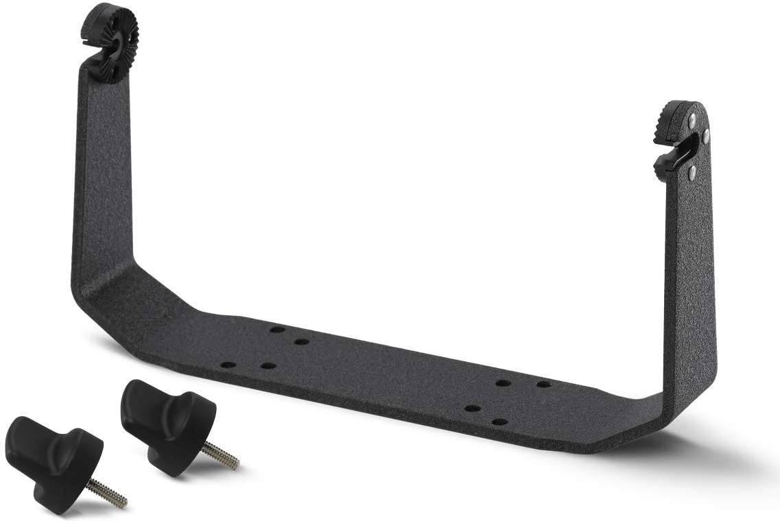
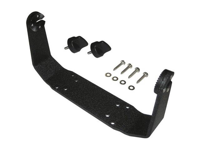
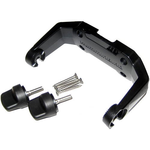
Humminbird Gimbal Mount Kit for Helix 12 Series 740151-1
:
|Gimbal Mount
|Includes Screws & amp; Knobs
. .
HUMMINBIRD 600015-7 Humminbird LakeMaster Great Lakes - v4 - microSD
HUMMINBIRD 600015-7 Humminbird LakeMaster Great Lakes - v4 - microSD MPN: 600015-7 LakeMaster Great Lakes - v4 - microSDThe Humminbird LakeMaster Great Lakes Edition, Version 4 micro map card has added over 140 new lakes, 50 High Definition waters to now boast contours for a total of over 1540 lakes with more than 380 lake maps in High Definition for Michigan, Indiana, and Ohio. Featuring: Updated shallow water areas for Lake Michigan and parts of Lake SuperiorFull coverage of Lake SuperiorAll of Lake Huron (now including Georgian Bay) Beaver Island on Lake Michigan in High DefinitionNew High Definition Survey of Lake St Clair (including the Canadian side) Updated the St. Clair River High Definition survey (including the Canadian side) Updated the Detroit River High Definition survey (including the Canadian side) High Definition survey of Syracuse, Kosciusko in IndianaHigh Definition survey of Wamplers, Lenawee in MichiganHigh Definition survey of Portage/Torch, Houghton in MichiganHigh Definition survey of Lower Grand and Spring Lake in MichiganAlso with the Great Lakes Version 4 micro SD map card you enjoy all of the LakeMaster features including the following: i-Pilot Link compatibleEasy to read contoursDepth Highlight RangeWater Level OffsetShallow Water HighlightScrollable Lake ListFind more info about i-Pilot Link here. NOTE: The Great Lakes product no longer includes Kentucky and Tennessee lakes. See the LakeMaster SouthEast Edition products for lakes in these states.

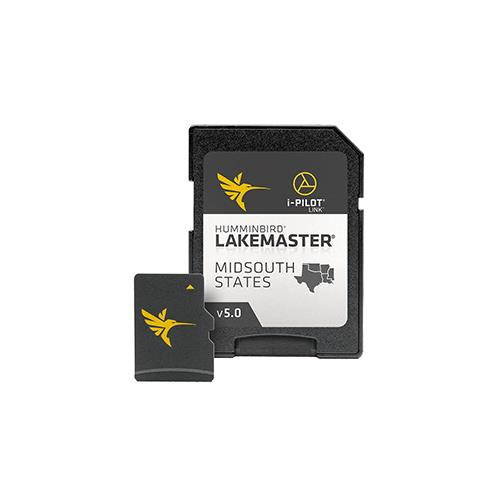
HUMMINBIRD HUM#6000099 Humminbird LakeMaster Chart - Midsouth States V5
HUMMINBIRD HUM#6000099 Humminbird LakeMaster Chart - Midsouth States V5LakeMaster Chart - Midsouth States V5The Humminbird LakeMaster Mid-South Edition, Version 5, has added over 65 new lakes since the prior version 60+ in High Definition. In all, this version boasts more than 270 High Definition lakes and more than 385 total lakes from TX, OK, AR, LA, and MS, so you can be confident in where youre fishing, no matter where the fish take you.Features:LakeMaster micro SD card with adapter includes depth contour information and features such as Depth Highlight, Shallow Water Highlight and Water Level Offset, which can be used exclusively with Humminbird fish findersHigh-Definition lake map data available for the following lakes: Brady Branch Reservoir, Caddo, DeQueen (AR), Eufaula (OK), Grand Lake of the Cherokees, Livingston, Nacodgoches, Norfork, Robert S Kerr, Skiatook, Tawakoni and more.Can be used with a Minn Kota i-Pilot Link trolling motor, allowing you to Follow a selected depth contour line, delivering precise, automatic boat controlScrollable lake list allows you to view and research lakes from your Humminbird fish finderLakeMaster cards are compatible with all GPS-equipped HELIX, SOLIX, ONIX and ION Series models, along with select 600-1100 Series models.Includes micro SD card with full size adapter and water Resistant SD card carrying caseOpened packages are not eligible for return MPN:600009-9
HUMMINBIRD 600045-3 Humminbird LakeMaster Chart - NorthEast - Version 2.0 - MicroSD/SD
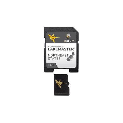
HUMMINBIRD 600045-3 Humminbird LakeMaster Chart - NorthEast - Version 2.0 - MicroSD/SDMPN:600045-3LakeMaster Chart - NorthEast - Version 2.0 - MicroSD/SDMore Detail. More Accuracy. More Confidence.Innovative Humminbird LakeMaster digital GPS maps combined with groundbreaking Humminbird Sonar will put you on the fish.The NorthEast States Version 2.0 map card has many standard and high definition lake maps for Connecticut, Massachusetts, Maine, New Hampshire, New Jersey, New York, Pennsylvania, Rhode Island, and Vermont, along with points of interest on a base map.
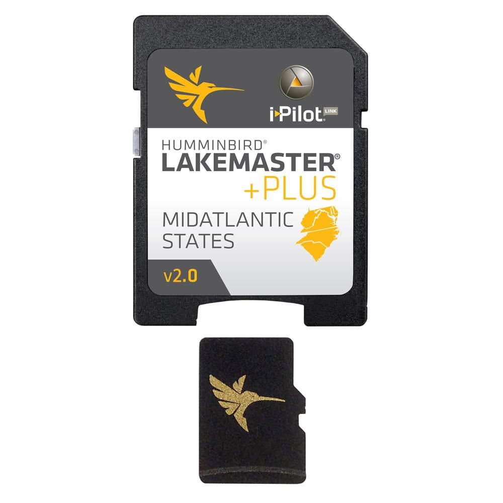
Humminbird LakeMaster Mid Atlantic States PLUS Humminbird LakeMaster Mid Atlantic States PLUS
Humminbird LakeMaster PLUS Chart - Mid-Atlantic States. Brand New Includes 30-Day Cartography Warranty.. The Humminbird LakeMaster Mid Atlantic States PLUS is a digital GPS map card series which features all the coverage area and lake lists that are compatible with most Humminbird GPS models... LakeMaster Mid Atlantic States PLUS
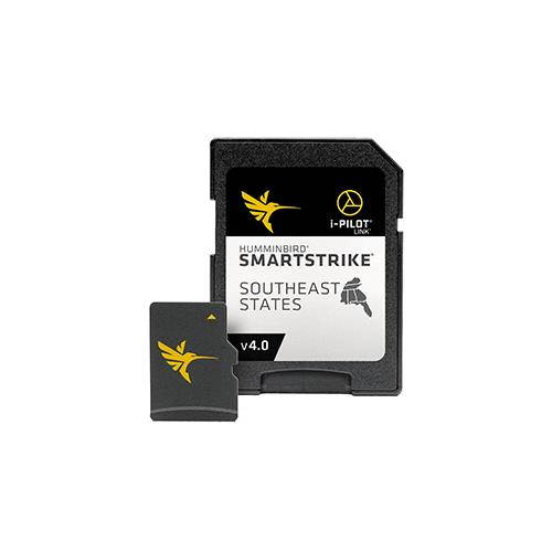
HUMMINBIRD HUM#6000394 Humminbird SmartStrike Southeast States - Version 4
HUMMINBIRD HUM#6000394 Humminbird SmartStrike Southeast States - Version 4SmartStrike Southeast States - Version 4SmartStrike is your digital fishing guide, letting you predict where the fish will be next. Based on search parameters like season, time of day, temperature and targeted fish species, SmartStrike highlights areas of the lake map where fish are most likely to be biting - before you even wet a line. Its like having your own fishing guide with decades of experience in the boat with you.Features:Coverage: AL, FL, GA, KY, MS and TNSmartStrike cards combine High Definition LakeMaster lake map data and extensive search algorithms to help you pattern and locate fish at any time of the year.SmartStrike gives you access to Shallow Water Highlight, Depth Highlight and Water Level Offset, all exclusive features of Humminbird LakeMaster.Find a fishing spot using SmartStrike, then lock onto a depth and Follow the Contour with your Minn Kota trolling motor using i-Pilot Link.Once your parameters are set, the results immediately appear on the screen, which means less time searching and more time fishing.Instantly locate fishing hotspots where your preferred species is likely to be active based on current conditions.For an even more advanced search, you can highlight areas on the lake map that meet specific criteria for depth, slope and other parameters.Humminbird SmartStrike map cards are compatible with all SOLIX Series models and all GPS-equipped HELIX G2/G2N Series models. They are also compatible with ONIX, ION Series, and select first generation HELIX models.Compatible Models:SOLIXHELIX 12HELIX 10HELIX 9HELIX 7HELIX 5 MPN:600039-4
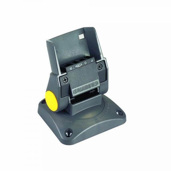
Humminbird 7400771 MS M Mount System
Optional mount systems for your Humminbird can be used for a second mounting location on the boat, or make a great replacement for a worn original. This unit will work with all Wide, 100sx, 200DX, 300TX, 400TX, 700 and 300 series fishfinders UPC: 070530498387 SKU: ADIB0002A9TD2
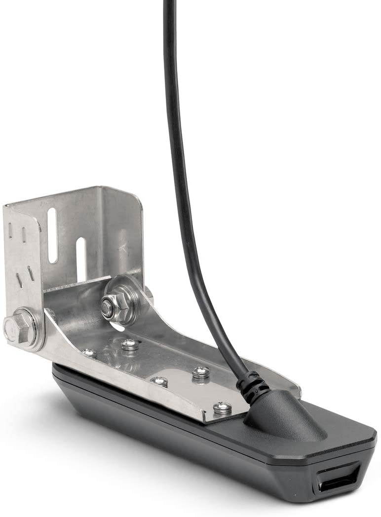
Humminbird 710280-1 XM 9 HW MDI T HELIX (MEGA Down Imaging+) Dual Spectrum CHIRP with Temperature Transom Mount Transducer, Black ( Pack of 2 )
Humminbird XM-9-HW-MDI-T Model: 710280-1 MEGA Down Imaging Transom Mount Transducer supports MEGA Imaging/800kHz/455kHz and Dual Spectrum CHIRP 2D Sonar with a CHIRP range of 150-220kHz. Includes built-in temperature sensor, rugged composite design, impact-release mounting bracket and 20 cable.
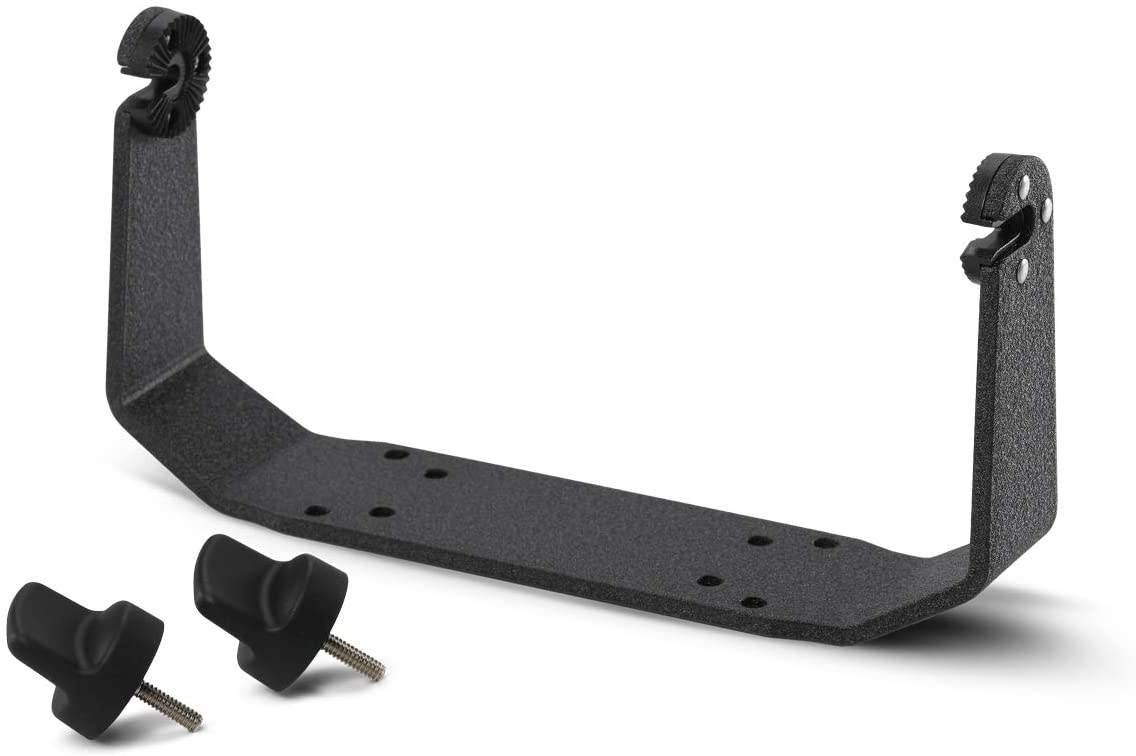
Humminbird Gimbal Mounts ( Pack of 2 )
Humminbird GM-H910 Gimbal Mount Model: 740149-1 Gimbal mount for Helix 9 and Helix 10 What's in the Box: Gimbal mount for Helix 9 and Helix 10 What's in the Box:. Gimbal bracket. Pair of Knobs.
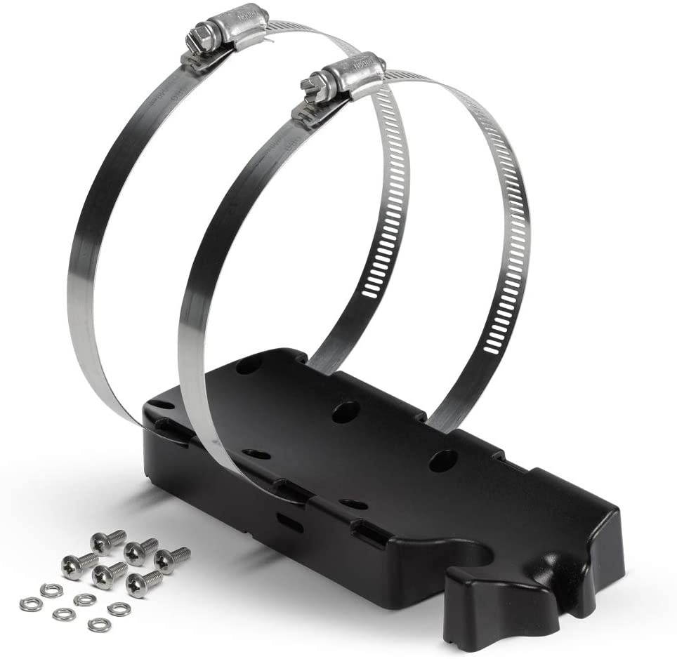
Humminbird 740159-1 Trolling Motor Adapters AD MTM, Black ( Pack of 2 )
Humminbird AD-MTM trolling Motor Adapter For Mega Transducer, Non-High Wide Model: 740159-1 ?This hardware kit adapts our MEGA transom mount transducer, Non-High Wide, for use on the trolling motor. What's in the Box: ?This hardware kit adapts our MEGA transom mount transducer, Non-High Wide, for use on the trolling motor. What's in the Box:. Adapter. Hose Clamps X 2. Screws.
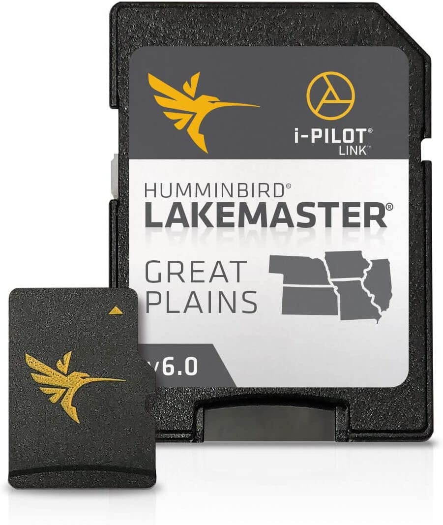
Humminbird 600036-2 SmartStrike Great Plains V2 Digital GPS Maps Micro Card ( Pack of 2 )
Humminbird Smartstrike.Great Plains V2.Model: 600036-2.SmartStrike takes you straight to the action by showing you where the fish should be biting at any given moment..Based on search parameters like season, time of day, temperature and targeted fish species, SmartStrike highlights areas of the lake map where your prey is most likely to be located - before you even wet a line..Includes all lake maps found on the current Great Plains LakeMaster card..Includes highly requested water bodies such as - Banner Lake, Bull Shoals Lake, Cedar Lake, East Loon Lake, El Dorado Lake, Illinois River Pools , Keith Sebelius Lake, Lake of the Ozarks, McCanaughy, Mississippi River Pools, Pleasant Creek Lake, Red Rock, Smithville Lake, Table Rock Lake, Three Mile Lake, Truman Reservoir, Twelve Mile Lake, Wilson Lake and more..LakeMaster SD/micro cards include features such as Depth Highlight, Shallow Water Highlight and Water Level Offset, which can be used exclusively with Humminbird fish finders.Can be used with Minn Kota i-Pilot Link, allowing you to "Follow" a selected depth contour line, delivering precise, automatic boat control.Scrollable lake list allows you to view and research lakes from your Humminbird fish finder on and off the water.SmartStrike full search functionality is exclusive to High-Definition waters only and GPS-equipped SOLIX, HELIX, ONIX and ION units..Opened packages are not eligible for return..The Humminbird SmartStrike Great Plains Edition, Version 2, micro map card with SD adapter has added 160 new or updated lakes since the prior version, with more than 400 High Definition lakes and over 500 total lakes from NB, KS, MO, IA and IL..Current Models.HELIX 10, HELIX 12, HELIX 5, HELIX 7, HELIX 9, ICE HELIX, SOLIX 10, SOLIX 12, SOLIX 15.Discontinued Series.1100 Series, 500 Series, 600 Series, 700 Series, 800 Series, 900 Series, ION, ONIX.Delivery.SD Card.Product Type.SmartStrike.Region.Great Plains.UPC.0082324048203.
Humminbird GM H7 Gimbal Mount For HELIX Series: 7 Includes Screws 740146-1
Humminbird Gimbal Mount for HELIX 7 Series. Brand New Includes One Year Warranty.. Product # 740146-1 The Humminbird GM H7 is a gimbal mount kit for Helix 7 series. This kit includes attachment screws and knobs. GM H7
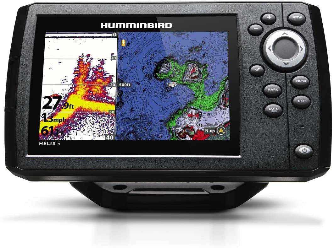
Humminbird 410210-1 HELIX 5 CHIRP GPS G2 Fish finder
5-Inch Color WVGA Display CHIRP Dual Beam PLUS Sonar. Power Output RMS: 500 Watts. Power Draw: 615 mA Precision Internal GPS Chart plotting with built-in Anima cartography Micro SD card slot for optional maps or for saving waypoints Target Separation - 2.5 Inches
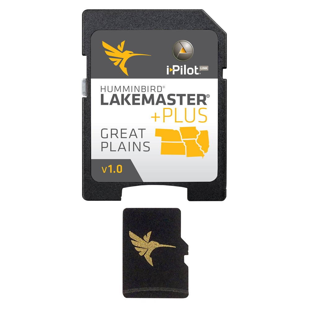
Humminbird 600017-4 LakeMaster Plus Great Plains - microSD LakeMaster Plus Great Plains - microSD
Humminbird LakeMaster PLUS Chart - Great Plains Brand New Includes 30-Day Cartography WarrantyProduct # 600017-4 The Humminbird Great Plains Plus is a Lakemaster Chart Great Plains map card that provides unmatched accuracy and detail of Humminbird LakeMaster. Patented features include the ability to select and highlight a specific depth range, the option to shade shallow water ranging from zero to 30 feet, and the power to synchronize depth chart contours and shorelines with the current water levels of lakes, reservoirs and rivers. With these exclusive features and more, you will have everything you need to make your time on the water more productive. The 600017-4 LakeMaster Version 1 combines many of the best fishing waters for Iowa, Illinois, Kansas, Missouri and Nebraska, all on one map card. Version 1 also brings the groundbreaking technology of follow the contour to your fingertips. When combined with a compatible i-Pilot? Link? system, your map card allows your boat to automatically follow a path directly on or offset from any contour, so you can focus on fishing. Great Plains Plus Features: Lake master Great Plains Plus- Version 1 Contours for many Lakes Over 500 Total Lakes w/ Contours 400 High Definition Lakes i-Pilot Link Compatible Synchronize Depth Chart Contours & Shorelines Depth Highlight Range Shallow Water Highlight Scrollable Lake List High Definition surveyed lakes including: -Table Rock, MO -Lake of the Ozarks, MO -Three Mile, IA -Twelve Mile, IA -Pleasant Creek, IA -Cedar, IL -East Loon, IL -El Dorado, KS -Banner, KS -Bull Shoals, MO -McCanaughy, NE -Plus many more! Great Fishing Waters including: -Keith Sebelius, KS -Wilson, KS -Smithville, MO -Truman Reservoir, MO -Red Rock, IA -Illinois River Pools -Mississippi River Pools Outstanding Coverage On Lake Michigan: -Green Bay (3 ft. contours) -Big Bay De Noc (3 ft. contours) -Little Bay De Noc (3 ft. contours) -Sturgeon Bay (3 ft. contours) -Little Traverse Bay -Grand Traverse Bay Please Note: Opened packages will not be eligible for return.
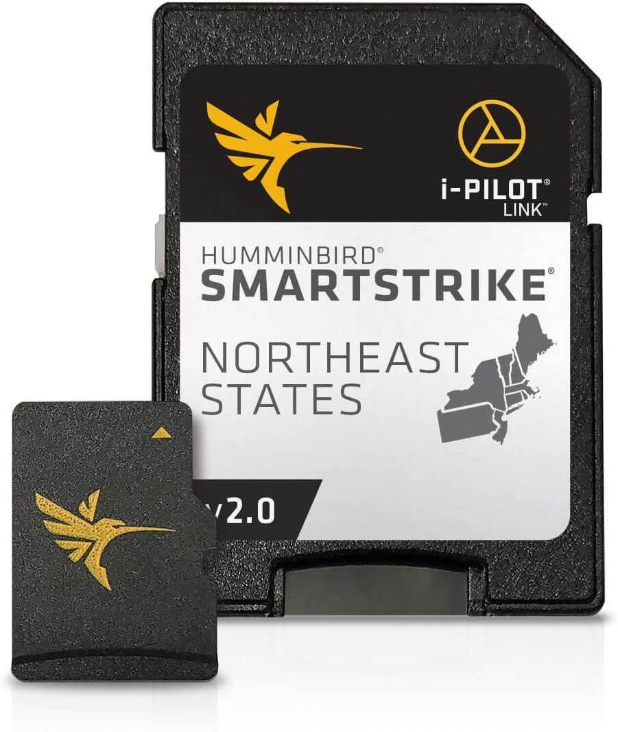
Humminbird 600045-4 LakeMaster Plus Northeast V2 Digital GPS Maps Micro Card ( Pack of 2 )
Humminbird Lakemaster Plus.Northeast States V2.Model: 600045-4.The new PLUS series allows for aerial image overlay on high-definition waters giving you the ability to use quality aerial photography to view the entry and exits of creek channels, see how far a reef or weed line extends, and pick out shallow water rock piles, steep drop-offs or other features of the lake you've been missing from traditional maps..Newly surveyed waters in ME include - Annabessacook, Big Pond, Chickawaukie, Crescent, Maranacook, Messalonskee, Panther Pond, Parker Pond, Pleasant, Sabattus, Sebago, Thomas Pond, Three Miile Pond, Unity Pond, and Wilson Pond..Newly surveyed waters in NY include - Cayuga, Oneida, Seneca, Six Mile, St. Lawrence Iroquois to Moses, and Thousand Islands..Newly surveyed waters in PA, VT and NH include - Chambers, Raystown, St. Lawrence Moses East, Champlain and Ossipee..LakeMaster SD/micro cards include features such as Depth Highlight, Shallow Water Highlight and Water Level Offset, which can be used exclusively with Humminbird fish finders.Can be used with Minn Kota i-Pilot Link, allowing you to "Follow" a selected depth contour line, delivering precise, automatic boat control.Scrollable lake list allows you to view and research lakes from your Humminbird fish finder on and off the water.Opened packages are not eligible for return..LakeMaster PLUS cards are compatible with all GPS-equipped HELIX, SOLIX, ONIX and ION Series models, along with select 600-1100 Series models..The Humminbird LakeMaster PLUS NorthEast Edition, Version 2, micro map card with SD adapter has added over 200 new lakes since the prior version - 27 in High Definition and boasts more than130 High Definition lakes and over 1,700 total lakes from PA, NJ, NY, CT, MA, VT, NH and ME.Current Models.HELIX 10, HELIX 12, HELIX 5, HELIX 7, HELIX 9, ICE HELIX, SOLIX 10, SOLIX 12, SOLIX 15.Discontinued Series.1100 Series, 500 Series, 600 Series, 700 Series, 800 Series, 900 Series, ION, ONIX.Delivery.SD Card.Product Type.Lakemaster.Region.Northeast.UPC.0082324050046.
Humminbird 710147-1 XP 9 20 T Single/DualBeam with Temperature In-Hull Puck Transducer,Black ( Pack of 2 )
Puck transducer. Single/Dual Beam, 20/60 degree, 200/83 kHz with built in temperature. For Use with 727 CHO 777c2 CHO 717 CHO 747c CHO 767 Combo 767 Combo CHO 787c2 Combo NVB 757c Combo 757c Combo CHO 787c2i Combo PiranhaMAX 210 PiranhaMAX 215 PiranhaMAX 220 PiranhaMAX 210 Portable PiranhaMAX 215 Portable PiranhaMAX 230 Portable 141c 161 Combo 323 957c Combo 957c Combo NVB 957c Combo CHO 957c Combo NVB CHO 343c 363 Combo 525 383c Combo 343c Portable 383c Combo Portable Matrix 12 535 565 580 Combo 585c 595c Combo 717 727 747c

Humminbird XP 9 HW In-Hull Transducer
Humminbird XP 9 HW In-Hull Transducer condition: New Brand: Humminbird MPN: 710275-1 California Prop 65 Warning: WARNING: Cancer and Reproductive Harm - P65Warnings. ca. gov
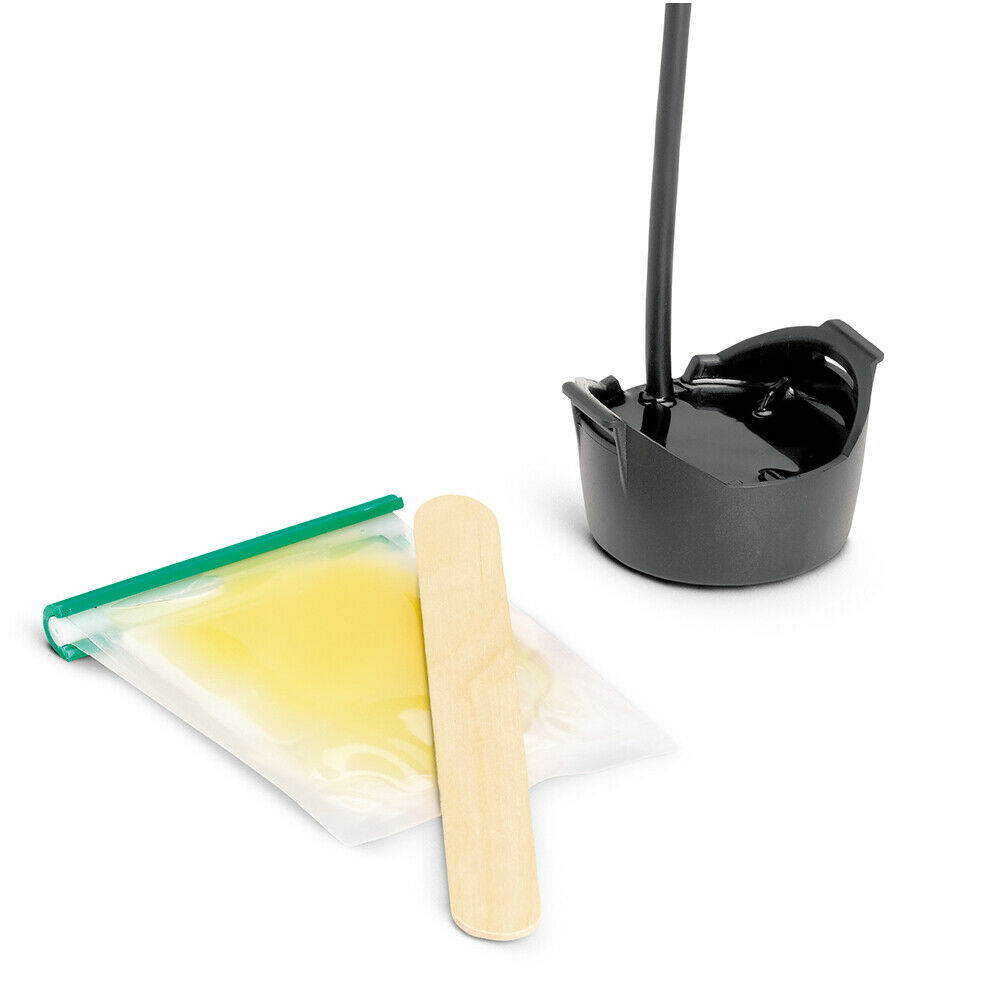
Humminbird 710270-1 XTM 9 MDI T Helix (MEGA DI) Trolling Motor Mounted Transducer, Black ( Pack of 2 )
Humminbird XTM-9-MDI-T Mega DI Trolling Motor Transducer Model: 710270-1
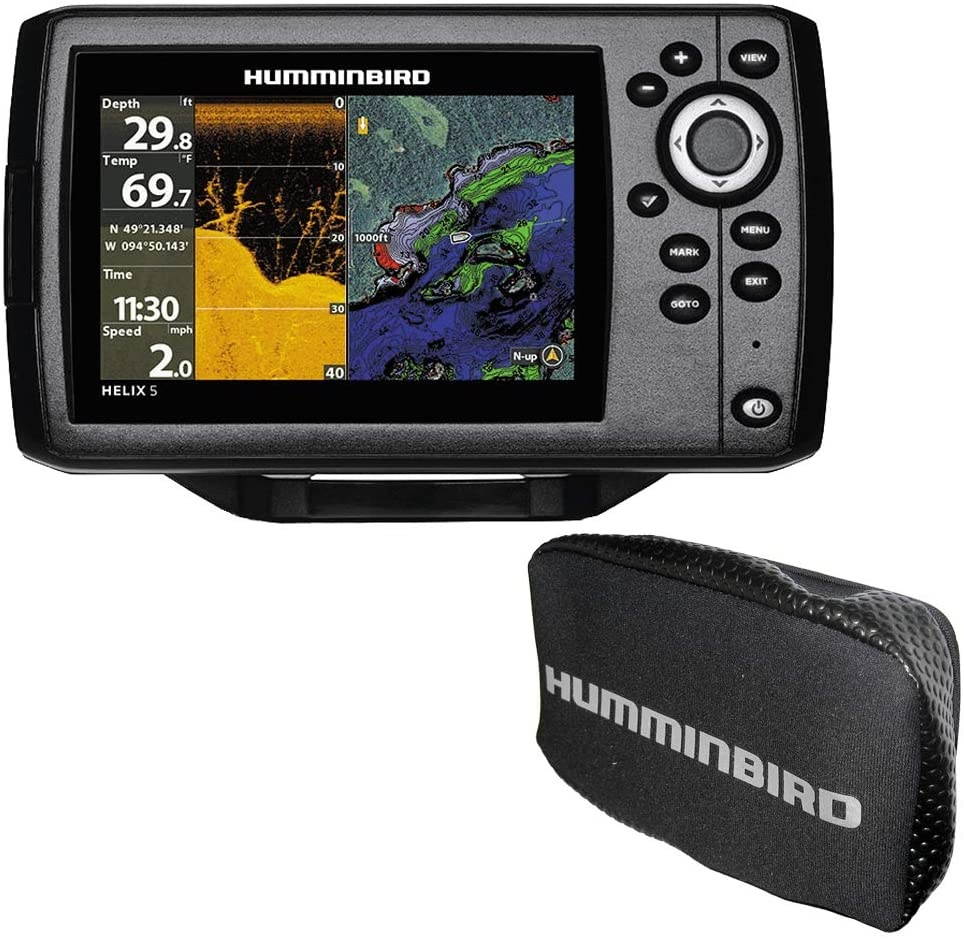
Humminbird Helix 5 Chirp DI GPS G2 Combo with Free Cover
HELIX 5 Chirp DI GPS G2 Combo with Free Cover: The HELIX5 Series answers the call with an uncompromising, 5" widescreen display. This HELIX 5 CHIRP DI GPS G2 model features CHIRP Digital Sonar, CHIRP Down Imaging, GPS mapping, AutoChart Live, the new Humminbird basemap, DualBeam PLUS and SwitchFire. CHIRP Down Imaging: Filter out noise and clutter for a clearer view beneath your boat. It's the perfect blend of CHIRP Digital Sonar precision and Down Imaging detail. CHIRP Digital Sonar: View details that other forms of sonar won't show you. Humminbird CHIRP Digital Sonar is engineered to help you see individual fish, clearly identify bait and structure, and reach greater depths and range. SwitchFire Sonar: Take command of how your sonar returns appear. With two display modes, you can add or remove detail, account for water depth, temperature and turbulence, even watch lure presentations - all at the push of a button. Dual Beam PLUS Sonar: Two beams combine for great detail and a generous coverage area, helping you identify fish, structure and contours. Use the narrow beam for high-accuracy returns of fish, structure, detail and the bottom profile. Your coverage area will be equal to your depth. Identify buoys, daymarkers, hazards, marinas, contours, depth markers and much, much more. Includes charts of more than 10, 000 lakes, plus coastal coverage for the U. S. AutoChart Live: Create real-time maps of your fishing spots, with access to patented Humminbird LakeMaster features. Map depth contours, bottom hardness and vegetation as you drive your boat, with eight hours of built-in recording time. From easy-to-read contours, to highlighed depth ranges, to scrollable lake lists, you'll have all the tools you need to make every moment count. WARNING: This product can expose you to chemicals including 1, 3-Butadiene which is known to the State of California to cause cancer, birth defects or other reproductive harm. For more information go to P65Warnings. ca. gov.
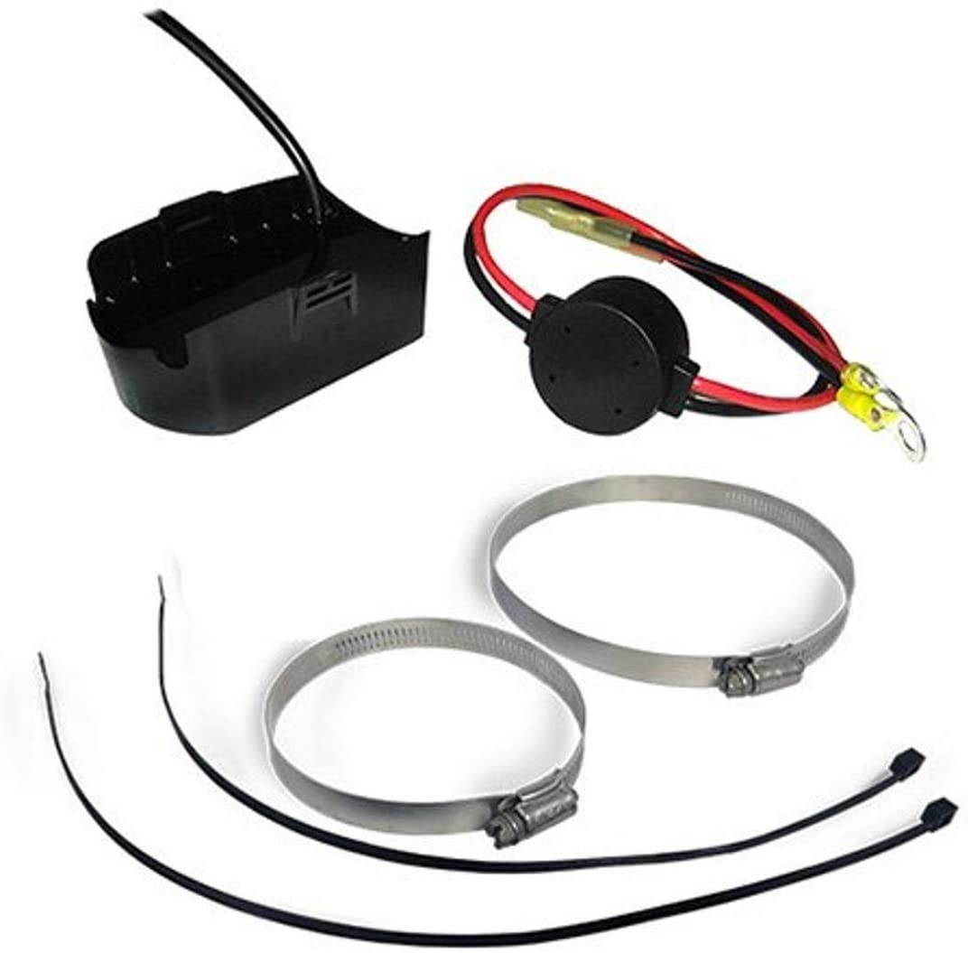
HUMMINBIRD 710267-1 Humminbird XPTH-14-20-MSI-T Mega SI Transducer W/Temp
HUMMINBIRD 710267-1 Humminbird XPTH-14-20-MSI-T Mega SI Transducer W/TempHumminbird XPTH-14-20-MSI-T Mega SI Plastic Thru Hull TransducerModel: 710267-1??MEGA SI, MEGA DI, DualBeam PLUS, 20/60/86/55 degrees, 200/83/455/800 kHz and 1.2 MHz, temperature built-in, plastic through the hull transducer. For SOLIX MEGA Side Imaging products only. MPN:710267-1082324050459

Humminbird 410220-1 Black Fishing Hook
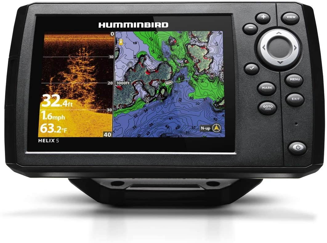
The Helix 5 CHIRP DI GPS G2 with user interface and operating system, features brilliant 800H x 480V, 5 inch 256 color display with Backlight. Chirp down Imaging and Dual Beam plus sonar with 4000 watts PTP power output, precision internal GPS chart plotter
Humminbird LakeMaster Plus Mid-South States Edition Digital GPS Lake and Aerial Maps, Micro SD Card, Version 3, Black
Get an added angling advantage with LakeMaster Plus mapping, which adds high-quality aerial photography to its unrivaled accuracy and detail, easy-to-read contours, highlighted depth ranges, and scrollable lake lists. LakeMaster digital maps provide the most detailed, high-definition collection of freshwater mapping in the United States, with unmatched depth contours between 1-3 feet (in high definition) or 3-5 feet (standard definition). This LakeMaster Plus Mid-South States Edition, Version 3 boasts more than 270 high-definition lakes and more than 385 total lakes from TX, OK, AR, LA, and MS, adding over 65 new lakes since the prior version. New high-definition lake map data includes Brady Branch Reservoir, Caddo, DeQueen (AR), Eufaula (OK), Grand Lake of the Cherokees, Livingston, Nacodgoches, Norfork, Robert S Kerr, Skiatook, Tawakoni, and more. LakeMaster Plus enables you to view an aerial image overlay on high-definition waters to see the entry and exits of creek channels, to see how far a reef or weed line extends, and to pick out shallow-water rock piles, steep drop-offs, and other features. Easy-to-see shading highlights shallow-water areas within an adjustable range up to 30 feet, and depth contours and shorelines can be synchronized with the actual water levels of lakes, reservoirs, and rivers. LakeMaster digital maps can be used with Minn Kota i-Pilot Link (sold separately), allowing you to follow a selected depth contour line to deliver precise, automatic boat control. Collected by Humminbird's own team of GIS analyst cartographers, LakeMaster high-definition maps are created from on-the-water surveys using hundreds of thousands of depth soundings, plus state-of-the-art GPS and sonar technologies. LakeMaster Plus digital maps come on a Micro SD card (with included SD card adapter) that's compatible with all GPS-equipped HELIX, SOLIX, ONIX, and ION Series models and select 600-1100 Series models. Strictly intended for use in your Humminbird GPS unit, LakeMaster mapping cards are not PC compatible and map files could be corrupted if accessed on a computer.
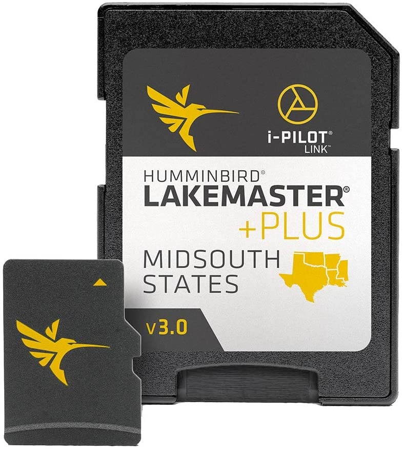
Humminbird LakeMaster Southeast States Edition Digital GPS Lake Maps, Micro SD Card, Version 5
Maximize every moment of fishing when you upgrade to the unrivaled accuracy and detail of Humminbird LakeMaster mapping, which features easy-to-read contours, highlighted depth ranges, and scrollable lake lists. LakeMaster digital maps provide the most detailed, high-definition collection of freshwater mapping in the United States, with unmatched depth contours between 1-3 feet (in high definition) or 3-5 feet (standard definition). This Southeast States Edition, Version 5 boasts 300 high-definition lakes and more than 760 total lakes from AL, FL, GA, KY, MS, and TN, adding over 230 new lakes since the prior version (260 in high definition). New high-definition lake map data includes Dale Hollow, Green River, Martin, Sidney Lanier, Watts Barr, Weiss, and more. Easy-to-see shading highlights shallow-water areas within an adjustable range up to 30 feet, and depth contours and shorelines can be synchronized with the actual water levels of lakes, reservoirs, and rivers. LakeMaster digital maps can be used with Minn Kota i-Pilot Link (sold separately), allowing you to follow a selected depth contour line to deliver precise, automatic boat control. Collected by Humminbird's own team of GIS analyst cartographers, LakeMaster high-definition maps are created from on-the-water surveys using hundreds of thousands of depth soundings, plus state-of-the-art GPS and sonar technologies. LakeMaster digital maps come on a Micro SD card (with included SD card adapter) that's compatible with all GPS-equipped HELIX, SOLIX, ONIX, and ION Series models and select 600-1100 Series models. Strictly intended for use in your Humminbird GPS unit, LakeMaster mapping cards are not PC compatible and map files could be corrupted if accessed on a computer.
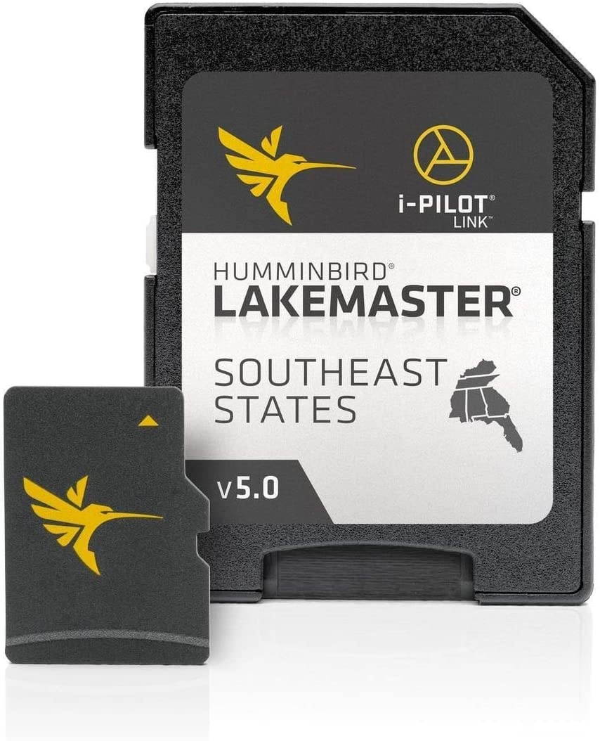
Humminbird 710160-1 XTM 9 20 T DualBeam with Temperature Trolling Motor Mounted Transducer, Black ( Pack of 2 )
Trolling motor transducer with Temperature Sensor, Hydrodynamic, Dual Beam, 20 and 60 degree cone angles, 200/83 kHz. Includes 15' cable, trolling motor mounting hardware. For Use with Matrix 97 Sonar 535 565 525 Matrix 12 585c 727 727 CHO 323 141c 777c2 777c2 CHO 717 717 CHO 747c 747c CHO PiranhaMAX 210 PiranhaMAX 210 Portable PiranhaMAX 215 PiranhaMAX 215 Portable PiranhaMAX 220 PiranhaMAX 230 Portable 767 Combo 767 Combo CHO 787c2 Combo NVB 757c Combo 757c Combo CHO 787c2i Combo 1157c Combo 1157c Combo CHO 1157c Combo NVB 1157c Combo NVB CHO PiranhaMAX 215 161 Combo 957c Combo 957c Combo NVB 957c Combo CHO 957c Combo NVB CHO 363 Combo 383c Combo 343c Portable 383c Combo Portable 580 Combo 595c Combo 717
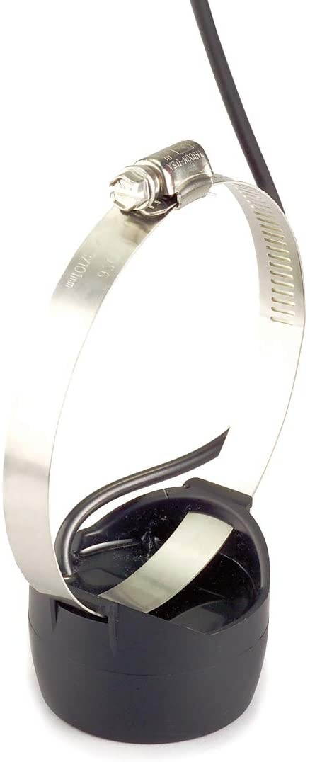
Humminbird 7400111 MHX HS Transom Mounting Hardware Kit
This gorgeous Humminbird transduce hi speed 200 kHz hardware MHX HS has the finest details and highest quality you will find anywhere! Humminbird transduce hi speed 200 kHz hardware MHX HS is truly remarkable. Product details: condition: brand new item SKU: ss-sms-501616 information: the Humminbird MHX HS transducer hardware has durable construction for lasting use. This hardware lets you repair or replace your existing trolling motor transom mounting bracket. Included are high-speed mounting hardware and product manual. UPC: 634392747191 SKU: ADIB0000AXOFA
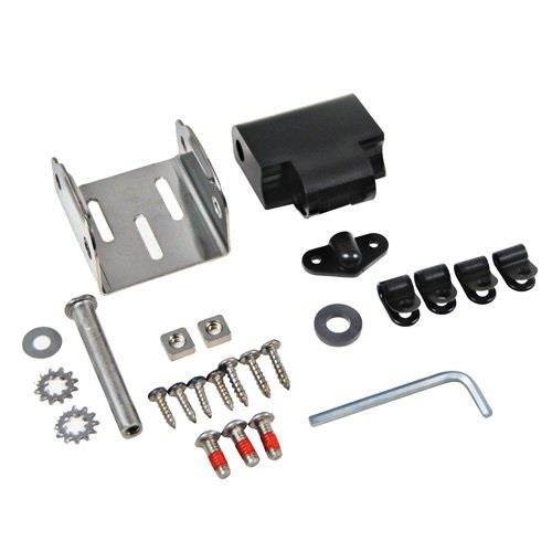
Humminbird XTM 9 HDSI 180 T Trolling Motor Transducer
Trolling motor mount transducers are designed to mount onto the body of most trolling motors. A low-profile shape reduces drag in the water and minimizes hang-ups on weeds. 15 ft cable and hardware included. This model will work with 997c SIUPC:971495961261SKU:ADIB000MPMHKY
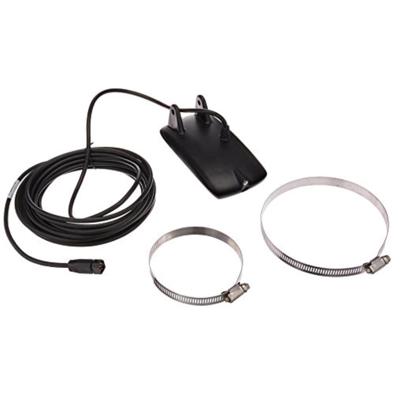
HUMMINBIRD HUM#7102911 XTM 14 HW MDI T-SOLIX
HUMMINBIRD HUM#7102911 XTM 14 HW MDI T-SOLIXHumminbird 710291-1 XTM 14 HW MDI T SOLIX MEGA DI+ Dual-Spectrum CHIRP with Temperature Trolling Motor Transducer MPN:710291-10082324053214
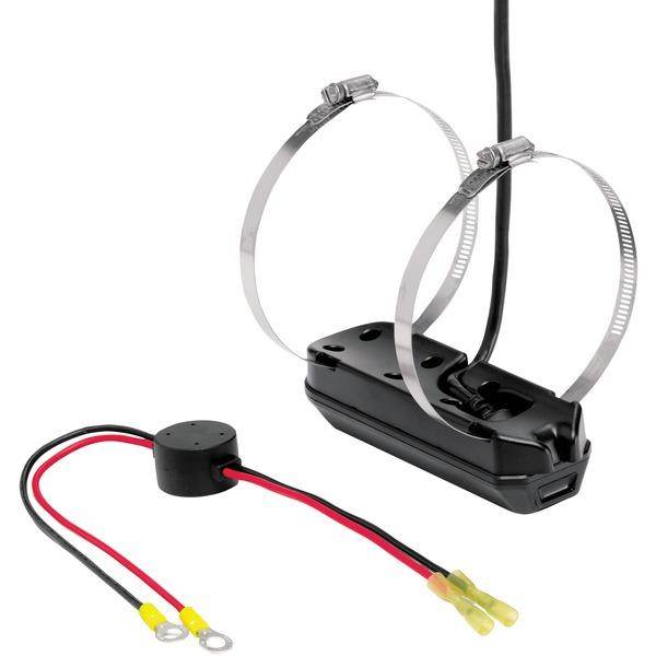
HUMMINBIRD 410180-1 Humminbird RC2 Remote Bluetooth
HUMMINBIRD 410180-1 Humminbird RC2 Remote BluetoothHumminbird RC2 Remote ControlModel: 410180-1Each key has a short press and long press function, enabling you to customize the remotes capabilities to reflect your fishing style. For instance, a long press of the Mark button can be programmed to power your unit on or off or deploy your 360 Imaging accessory.Can only be paired to one Humminbird unit at a time.Compatible with: HELIX Generation 2 Networking (G2N) fish finders.Take wireless control of your Humminbird Bluetooth HELIX unit. Our remote lets you mark waypoints on the fly, zoom in and out, adjust sonar sensitivity, and toggle through your favorite custom views.Fur use with SOLIX 15, SOLIX 12, SOLIX 10, HELIX 12 G2N, HELIX 10 G2N, HELIX 9 G2N, HELIX 7 G2N MPN:410180-1082324050176
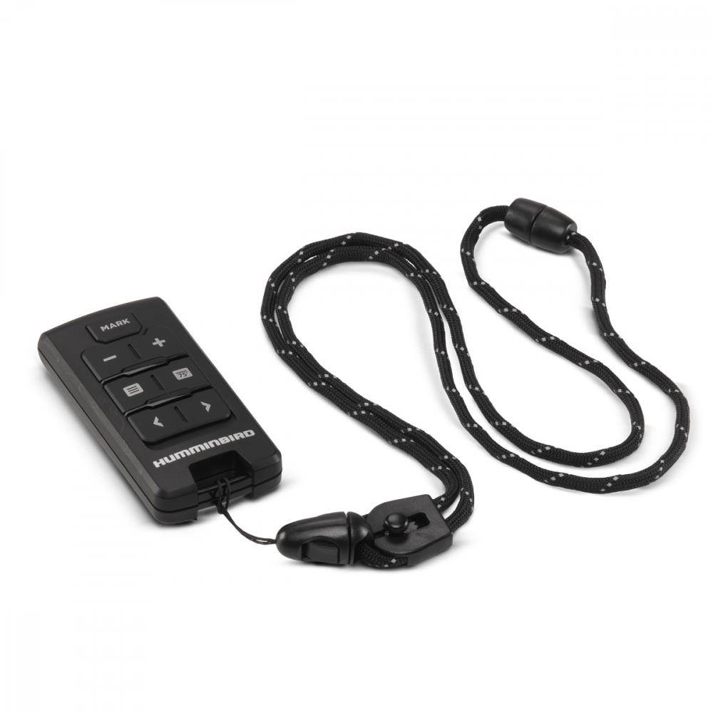
HUMMINBIRD 710269-1 Humminbird XM-9--MDI-T Mega Transducer W/Temp
HUMMINBIRD 710269-1 Humminbird XM-9--MDI-T Mega Transducer W/TempHumminbird XM-9-MDI-T Trasnom Mount Mega DI TransducerModel: 710269-1Digital CHIRP Dual Spectrum 2D and Digital CHIRP MEGA Down ImagingDual Spectrum 2D CHIRP with 25 and 42 coverage @ -10dB455/800/MEGA MEGA DI CHIRP with 45 and 75 @ -10dBTransom mountedFor use with Helix Mega DI G2 products only MPN:710269-1082324050817
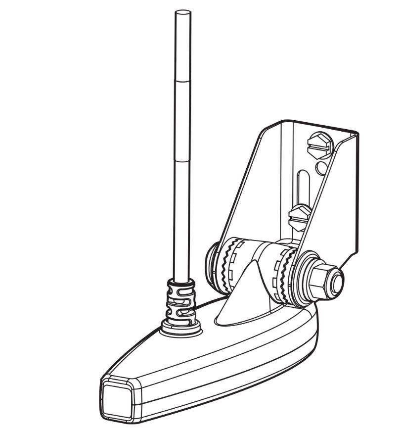
Humminbird 410230-1 HELIX 5 CHIRP SI GPS G2 Fish Finder, Black
Humminbird HELIX 5 Fish Finder. If fishing is in your DNA, there's no such thing as "too early" or "too far. " High expectations go with the territory. The HELIX 5 Series answers the call with an uncompromising, 5" widescreen display. This HELIX 5 CHIRP DI GPS G2 model features CHIRP Digital Sonar, CHIRP Side Imaging, CHIRP Down Imaging, GPS mapping, AutoChart Live, the new Humminbird basemap, DualBeam PLUS and SwitchFire.
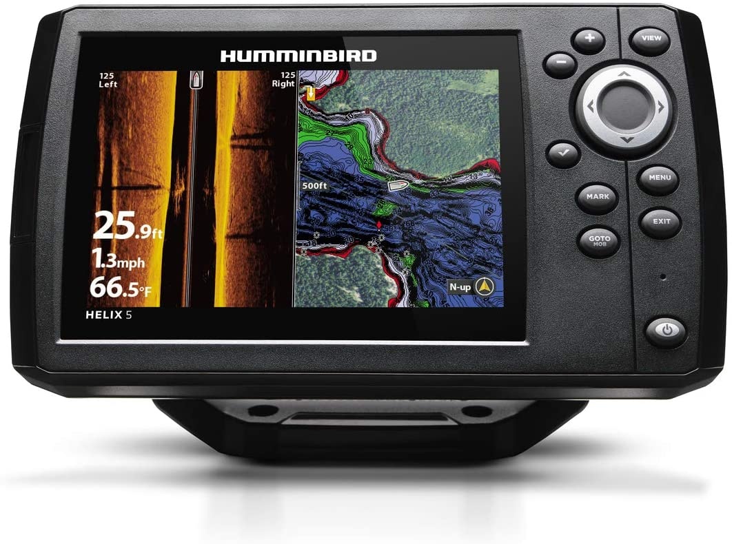
Humminbird 600043-3 LakeMaster Mid-Atlantic V2 Electronic Chart ( Pack of 2 )
Humminbird HCMA2 Lakemaster Chart Model: 600043-3 The Humminbird LakeMaster Mid-Atlantic Edition, Version 2 micro map card has added over 50 new lakes, 15 High Definition Surveyed waters to now boast contours for a total of over 175 lakes with more than 55 lake maps in High Definition.
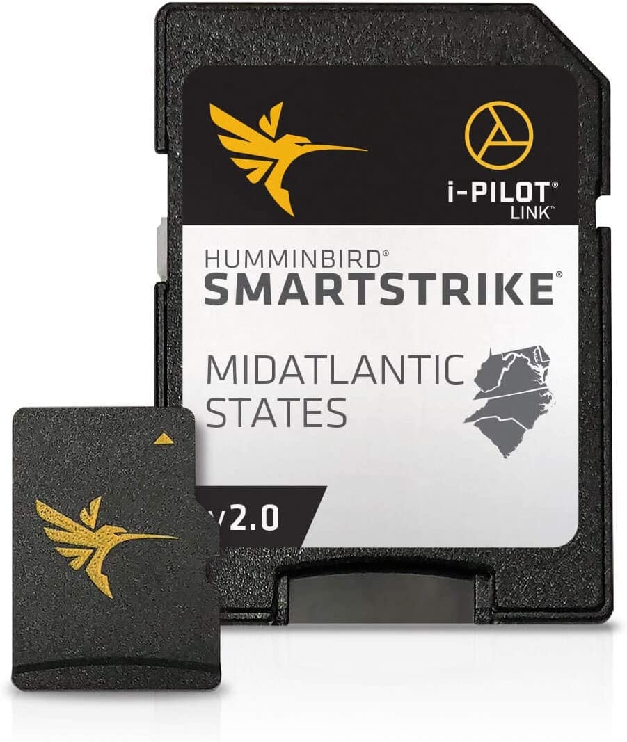
Humminbird LakeMaster Plus Great Lakes Edition Digital GPS Lake and Aerial Maps, Micro SD Card, Version 2 ( Pack of 2 )
Humminbird Lakemaster Plus.Great Lakes V2.Model: 600015-6.The new PLUS series allows for aerial image overlay on high-definition waters giving you the ability to use quality aerial photography to view the entry and exits of creek channels, see how far a reef or weed line extends, and pick out shallow water rock piles, steep drop-offs or other features of the lake you've been missing from traditional maps..New features Updated shallow water area for Lake Michigan & parts of Superior; full coverage of Superior; all Lk Huron (incl Georgian Bay); Beaver Island on Michigan in HD; new HD survey of Lake St Clair (incl Canadian side); updated St. Clair River HD survey (incl Canadian side); updated Detroit River HD survey (incl Canadian side); HD survey of Syracuse, Kosciusko - IN; HD survey of Wamplers, Lenawee - MI; HD survey of Portage/Torch, Houghton - MI; HD survey of Lower Grand & Spring Lake - MI.LakeMaster SD/micro cards include features such as Depth Highlight, Shallow Water Highlight and Water Level Offset, which can be used exclusively with Humminbird fish finders.Can be used with Minn Kota i-Pilot Link, allowing you to "Follow" a selected depth contour line, delivering precise, automatic boat control.Scrollable lake list allows you to view and research lakes from your Humminbird fish finder on and off the water.Opened packages are not eligible for return..LakeMaster PLUS cards are compatible with all GPS-equipped HELIX, SOLIX, ONIX and ION Series models, along with select 600-1100 Series models..The Humminbird LakeMaster PLUS Great Lakes Edition, Version 2, micro map card with SD adapter has added over 140 lakes since the prior version - 50 in High Definition - and boasts more than 380 lake maps in High Definition and over 1,540 total lakes from MI, IN and OH..Current Models.HELIX 10, HELIX 12, HELIX 5, HELIX 7, HELIX 9, ICE HELIX, SOLIX 10, SOLIX 12, SOLIX 15.Discontinued Series.1100 Series, 500 Series, 600 Series, 700 Series, 800 Series, 900 Series, ION, ONIX.Delivery.SD Card.Product Type.Lakemaster.Region.Great Lakes.UPC.0082324052422.
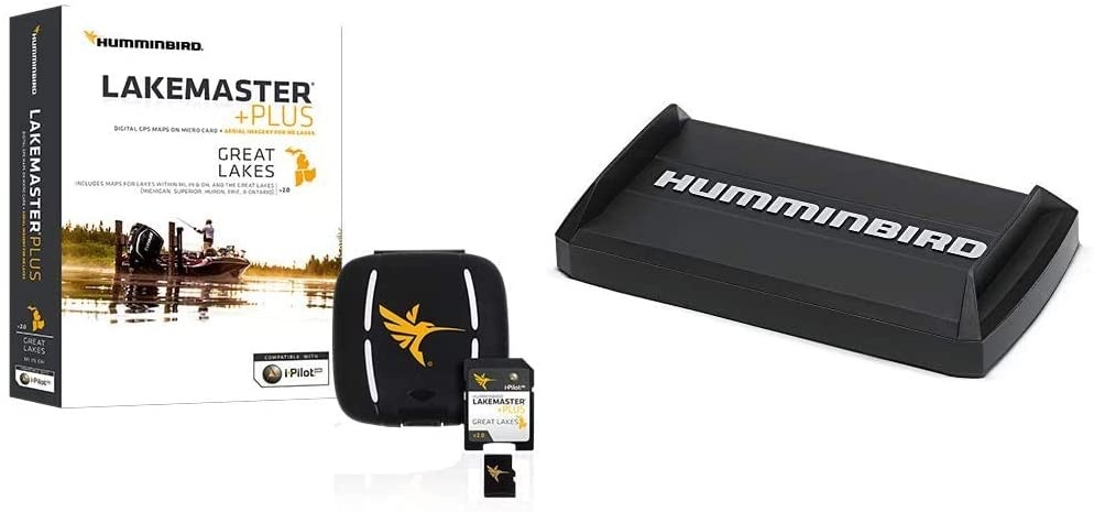
Humminbird 710205-1 XTM 9 HDSI 180 T DualBeam (HD Side Imaging) Trolling Motor Mounted Transducer,Black ( Pack of 2 )
Trolling motor mount, high definition Side Imaging transducer with built-in temperature. For Use with 997c SI Combo 997c SI Combo CHO 997c SI Combo NVB 997c SI Combo NVB CHO 1197c SI Combo 1197c SI Combo CHO 1197c SI Combo NVB 1197c SI Combo NVB CHO
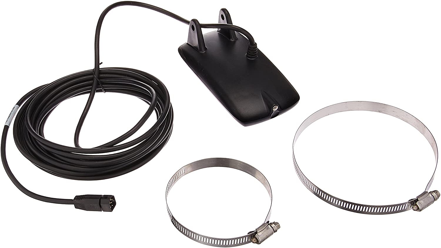
Humminbird Helix Dual Spectrum Chirp with Temperature Transom Mount Transducer 710274-1, XNT 9 HW T
Style:XNT 9 HW T Hummingbird 710274-1 XNT 9 HW T Transom Mount Transducer - Dual Spectrum CHIRP Narrow Beam - 25 Degrees, 180-240 kHz Wide Beam - 42 Degrees, 140-200 kHz Temperature Sensor Transom Mount. COMPATIBLE UNITS: HELIX 5 CHIRP G2 -GPS-equipped models only HELIX 7 CHIRP G2/G3 -GPS-equipped and CHIRP DI G2 models HELIX 7 CHIRP G2N/G3N -All models HELIX 8 CHIRP G3N -All models HELIX 9 CHIRP G2N/G3N -All models HELIX 10 CHIRP G2N/G3N -All models HELIX 12 CHIRP G2N/G3N -All models ICE HELIX CHIRP G2/G2N -All models
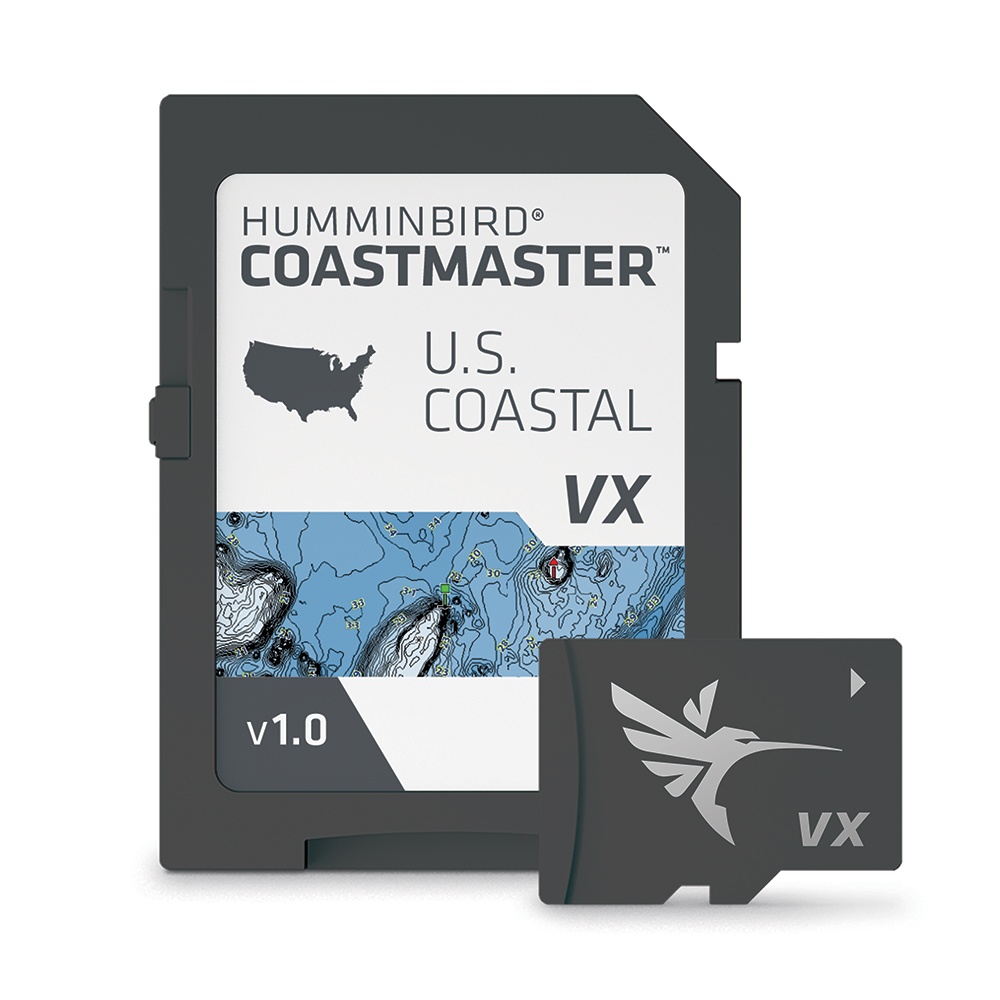
HUMMINBIRD COASTMASTER US COASTAL CHART V1
HUMMINBIRD COASTMASTER US COASTAL CHART V1Humminbid CoastMaster U. S. Coastal V1 microSDModel: 601015-1VX Technology provides five customizable color palettes and faster map load times, so you can seize every moment on the water. See the world your way with three preset views. Its quick and easy to switch from fishing charts to nautical charts, or to create your own custom view settings. Using predictive software, CoastMaster allows you to plan your fishing day with tidal direction and height, as well as the speed and direction of currents and more, so youll never be caught guessing. Create up to four user-defined depth highlight ranges, so you can easily target productive water and stay in the bite zone. Navigate safely and quickly identify spots where fish are hiding with red shading highlights for shallow water areas on an adjustable range from zero to 30 feet. Synchronize the depth contours and shorelines of your CoastMaster charts with the actual water levels, so that your chart will reflect the current water level of your fishing spots. Access a wealth of navigational data to make your next trip safe and successful. Access navigation aids, artificial reefs and points of interest. When paired with a Minn Kota i-Pilot Link, you can follow a selected depth contour line, delivering precise, automatic boat controlCompatible with Humminbird HELIX G3/G3N and all SOLIX units. 1-Year Cartography Warranty. Opened packages are not eligible for return. Find the path to your next big catch with the incredible accuracy and detail of Humminbird CoastMaster, providing highly accurate chart coverage for all U. S. coastal waters. From easy-to-read contours to highlighted depth ranges, you'll have the tools you need to identify the spots you know will hold fish, and navigate there safely. WARNING: Cancer and Reproductive Harm - www. P65Warnings. ca. gov.
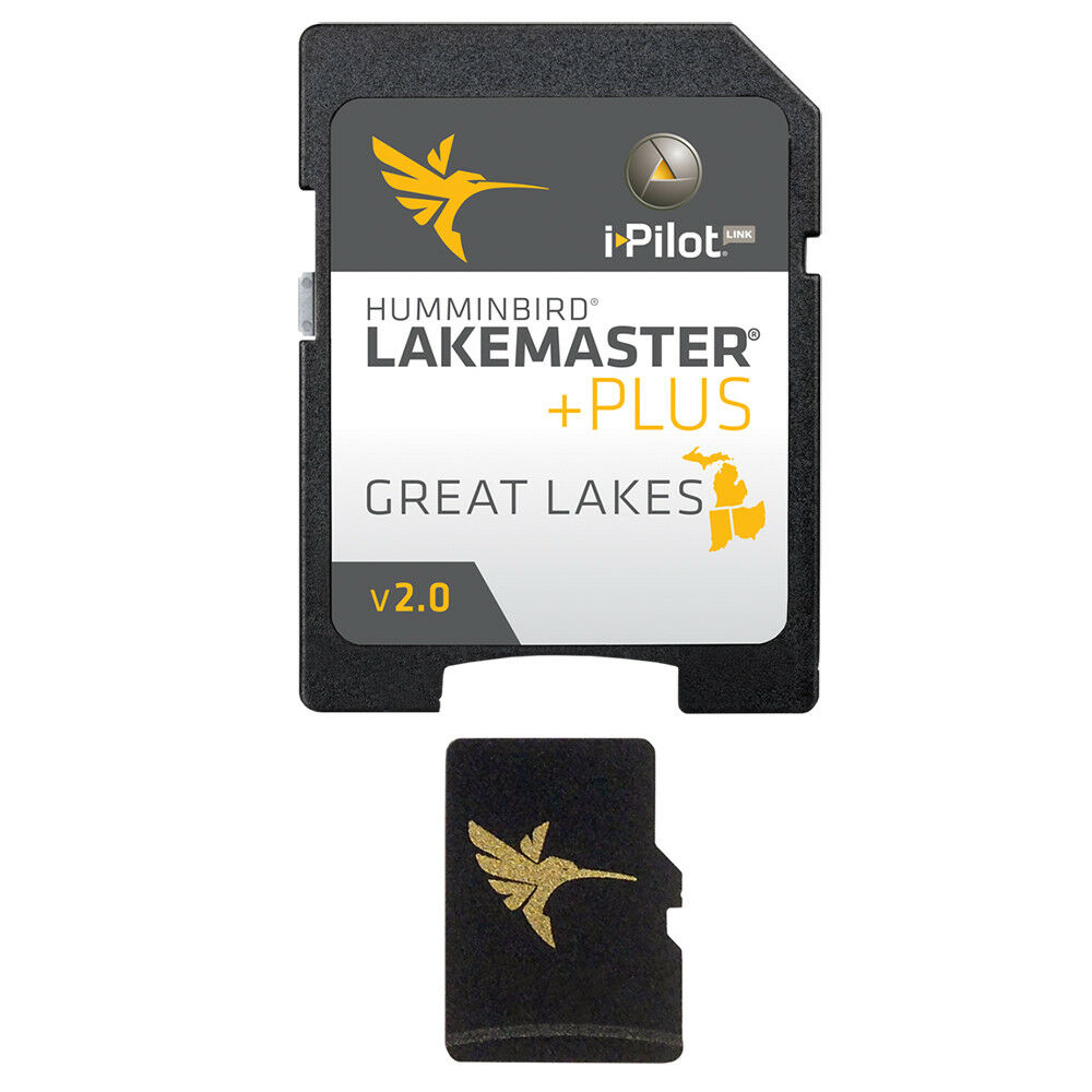
Humminbird LakeMaster PLUS Chart - Great Lakes Edition
Humminbird LakeMaster PLUS Chart - Great Lakes Edition condition: New Brand: Humminbird MPN: 600015-6
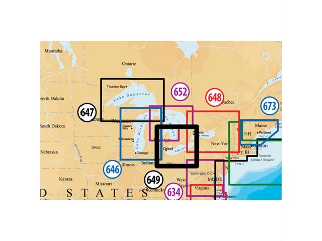
Navionics Platinum Plus Lake Erie and Saint Clair MSD/649PP Platinum Plus Lake Erie and Saint Clair
Navionics Platinum Plus Lake Erie and Saint Clair Brand New Includes 30-Day Cartography Warranty Product # MSD/649P+ (microSD Card) The Navionics Platinum Plus is the multi-dimensional marine chart that contains information of Lake Erie and Saint Clair which covers Entire Lake Erie and Saint Clair including Toronto and the southern end of Lake Huron. The platinum plus chart offer navigators and fishermen a selection of bonus information beyond the best available navigation charts. The Platinum Plus marine chart features the panoramic pictures, 3D/2D views with satellite imagery, coast pilot guide, POI, high-definition fishing detail, and more. Platinum Plus Features: Lake Erie & Saint Clair Marine Chart Covers Entire Lake Erie & Saint Clair Including Toronto & The southern End Of Lake Huron Improved 3D View Contiguous Satellite Photo Overlay Brilliant Panoramic Pictures High-Definition Fishing Details Enhanced Port Services Major Coastal Road Networks Complete NOAA Coast Pilot Tidal & Current Information For Humminbird Models: 1100 Series: 1155c, 1157c Combo, 1157c Combo NVB, 1197c SI Combo, 1197c SI Combo NVB, 800 Series: 858c Combo, 898c SI Combo, 900 Series: 955c, 957c Combo, 957c Combo NVB, 958c Combo, 958c Combo NVB, 967c 3D Combo, 997c SI Combo, 997c SI Combo NVB, 998c SI Combo, 998c SI Combo NVB
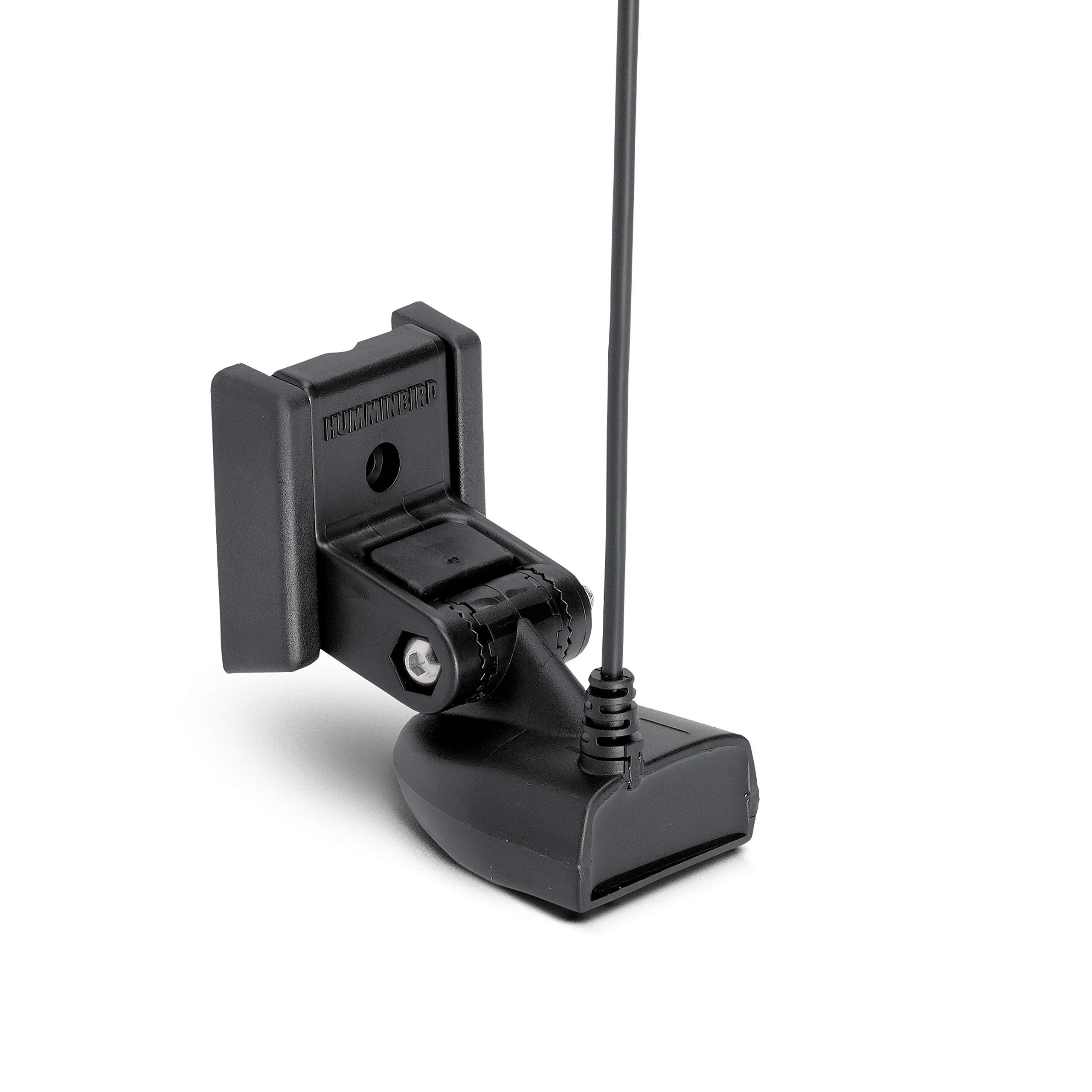
Humminbird XP 9 20 Puck Transducer
Puck transducers mount to the inside of most fiberglass hulls and transmit the sonar signal through the hull. The hull must be of single layer fiberglass construction. (Cored fiberglass, metal or wood are not acceptable) and be free of trapped air and voids. The transducer is glued in with slow cure epoxy.15ft cable and epoxy included. This model will work Matrix 10, 15, 17, 20, 25, 27, 55, 65, 67, 77c, 87c, 97; Piranha 1**, 2**, 3*, 4*, 5*; PiranhaMAX 210*, 215*, 220*, 230pt*; Fishfinder 515, 525, 535, 565, 580, 585c, 595c; 931c, 937c; 323, 343c, 363, 383c; 717, 727, 747c, 757c, 767, 777c, 787c; 917cUPC:071020169879SKU:ADIB000G6637C
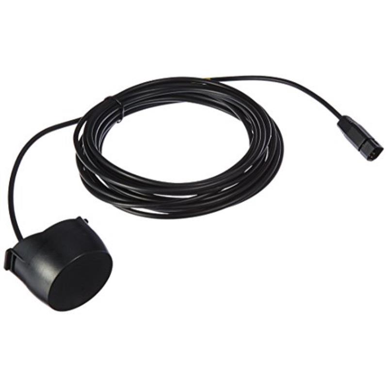
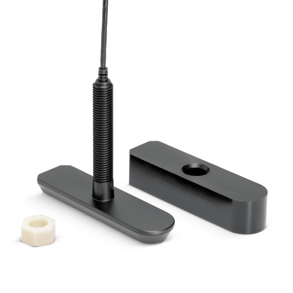
HUMMINBIRD 7102841 Humminbird XPTH-9-HW-MSI-T Thru-Hull Transducer W/Temp
HUMMINBIRD 7102841 Humminbird XPTH-9-HW-MSI-T Thru-Hull Transducer W/TempHumminbird XPTH-9-HW-MSI-TModel: 710284-1This accessory is compatible with the following Humminbird products: HELIX 8 CHIRP MEGA SI+ GPS G3N, HELIX 9 CHIRP MEGA SI+ GPS G3N, HELIX 10 CHIRP MEGA SI+ GPS G3N, HELIX 12 CHIRP MEGA SI+ GPS G3N.Dual Spectrum CHIRP Frequencies: Full: 150-220 kHz, Narrow: 180-240 kHz, Wide: 140-200 kHzDual Spectrum CHRIP Max Depth: 1200ft (365m)MEGA Side Imaging+ Frequencies - Max Range (side-to-side): 455kHz: 440-500 kHz - 800ft (244m), 800kHz: 790-850 kHz - 250ft (76m), MEGA SI+: 1075-1150 kHz - 400ft (m)MEGA Down Imaging+ Frequencies - Max Depth: 455kHz: 440-500 kHz - 400ft (122m), 800kHz: 790-850 kHz - 125ft (38m), MEGA DI+: 1075-1150 kHz - 200ft (61m)MEGA Side Imaging+ Plastic Thru-Hull Transducer supports MEGA Imaging/800kHz/455kHz and Dual Spectrum CHIRP 2D Sonar with a CHIRP range of 150-220kHz. Includes built-in temperature sensor, rugged composite design and 30 cable.SpecificationsMount TypeThru-HullSonar TypeMEGA Imaging, Dual SpectrumCurrent ModelsHELIX 8, HELIX 9, HELIX 10, HELIX 12 MPN:710284-1082324053276
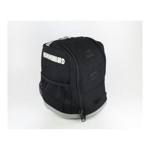
Humminbird CC ICE Soft Sided Carrying Case for Flashers with No Shuttle
Professional grade Soft Sided Carry Case for ICE Flasher Series. Compatible with ICE 35, 45, and 55. (Note: The ICE 55 ships with this case) UPC: 066510951690 SKU: ADIB001AXRBTY
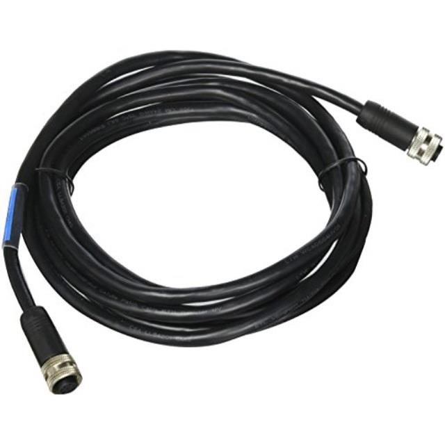
humminbird 7200732 as ec 10e ethernet cable 10 feet
Quickly setup an Ethernet connection between two Humminbird Ethernet capable units. Available in four lengths.UPC NO:611104988714 SKU:ADIB0042T0F82
Navionics MSD/HMPT-W6 HotMaps Platinum Lake Maps - West Nautical Charts New
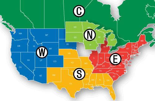
Navionics HotMaps Platinum Lake Maps - West Brand New Includes 30-Day Cartography WarrantyProduct # MSD/HMPT-W6 (microSD & trade; Card) The Navionics HMPT-W6 2-dimensional Hotmaps Platinum lake charts contains information of West including Arizona, California, Colorado, Idaho, Montana, North Dakota, Nevada, Oregon, South Dakota, Utah, Washington and Wyoming. The Hotmaps Platinum lake charts includes over 17, 000 lakes with underwater structure, improved accuracy, major roads, county lines and more. The HotMaps Platinum lake charts features 1000 high-definition lake maps with exclusive 1' contours for the most popular tournament lakes, the most accurate, highly-detailed lake maps available anywhere. HMPT-W6 Features: West Lake Chart Covers West Including AZ, CA, CO, ID, MT, ND, NV, OR, SD, UT, WA & WY 17, 000 Total Lake Maps Complete Fishing Information High Definition Lake Maps w/ Exclusive 1' Contours 3D View Satellite Photo Overlay Pre Programmed & Ready To Use Most Accurate & Highly Detailed Lake Maps Most Popular Tournament Lakes For Humminbird Models: 1100 Series: 1155c, 1157c Combo, 1157c Combo NVB, 1197c SI Combo, 1197c SI Combo NVB, 800 Series: 858c Combo, 898c SI Combo, 900 Series: 955c, 957c Combo, 957c Combo NVB, 958c Combo, 958c Combo NVB, 967c 3D Combo, 997c SI Combo, 997c SI Combo NVB, 998c SI Combo, 998c SI Combo NVB
Navionics MSD/HMPT-C6 Nautical Charts
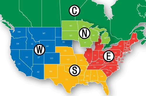
Navionics HotMaps Platinum Lake Maps - CanadaBrand New Includes One Year WarrantyProduct # MSD/HMPT-C6 (microSD™ Card)The Navionics HMPT-C6 2-dimensional Hotmaps Platinum lake charts contains information of Canada including Alberta, British Columbia, Manitoba, New Brunswick, Nova Scotia, Ontario, Quebec and Saskatchewan. The Hotmaps Platinum lake charts includes over 17, 000 lakes with underwater structure, improved accuracy, major roads, county lines and more. The Hotmaps HotMaps Platinum lake charts features 1000 high-definition lake maps with exclusive 1' contours for the most popular tournament lakes, the most accurate, highly-detailed lake maps available anywhere. HMPT-C6 Features: Canada Lake ChartCovers Canada Including AB, BC, MB, NB, NS, ON, QC & SK17, 000 Total Lake MapsComplete Fishing InformationHigh Definition Lake Maps w/ Exclusive 1' Contours3D ViewSatellite Photo OverlayPre Programmed & Ready To UseMost Accurate & Highly Detailed Lake MapsMost Popular Tournament LakesFor Humminbird Models: 1100 Series: 1155c, 1157c Combo, 1157c Combo NVB, 1197c SI Combo, 1197c SI Combo NVB, 800 Series: 858c Combo, 898c SI Combo, 900 Series: 955c, 957c Combo, 957c Combo NVB, 958c Combo, 958c Combo NVB, 967c 3D Combo, 997c SI Combo, 997c SI Combo NVB, 998c SI Combo, 998c SI Combo NVB
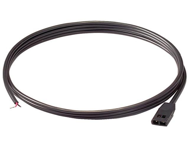
Humminbird 7200021 PC 10 6-Foot Power Cable
PC 10, 6FT POWER CABLE
Humminbird Gimbal Mounts ( Pack of 2 )
Humminbird GM-H12 Gimbal Mount Model: 740151-1 Gimbal mount for Helix 12 What's in the Box: Gimbal mount for Helix 12 What's in the Box:. Gimbal bracket. Pair of Knobs.
