Trusted shipping
Easy returns
Secure shopping
Buy GARMIN 2.6" GPS Navigation in United States - Cartnear.com
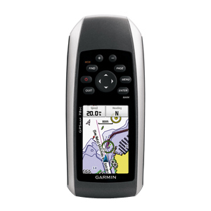
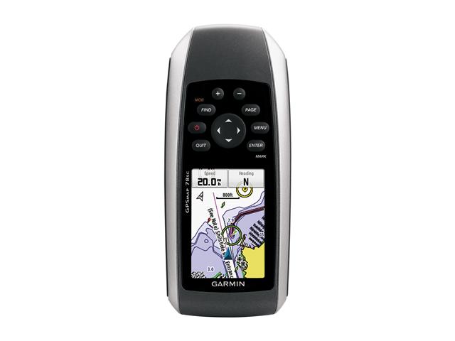
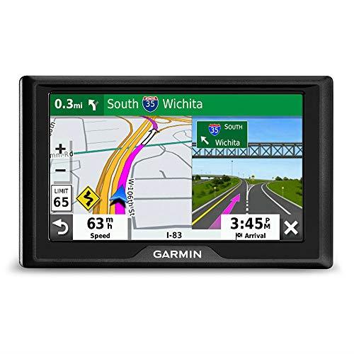
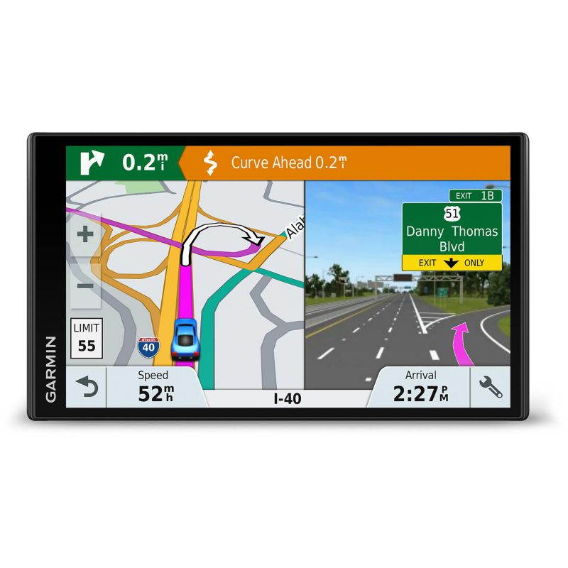
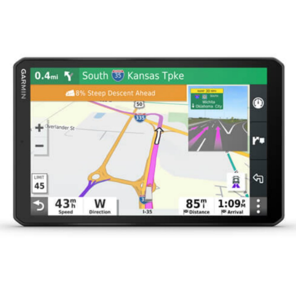
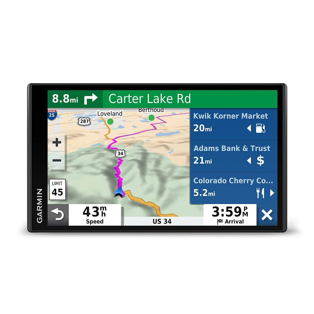
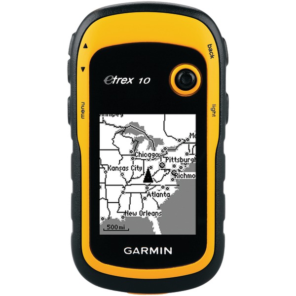
GARMIN 2.6" GPS Navigation
CTNR1207491 0753759100926 CTNR1207491Garmin
2027-03-21
/itm/garmin-26-gps-navigation-1207491
USD
1086.2
$ 1,086 $ 1,120 3% Off
Item Added to Cart
customer
*Product availability is subject to suppliers inventory
SHIPPING ALL OVER UNITED STATES
100% MONEY BACK GUARANTEE
EASY 30 DAYSRETURNS & REFUNDS
24/7 CUSTOMER SUPPORT
TRUSTED AND SAFE WEBSITE
100% SECURE CHECKOUT
| Brand | GARMIN |
|---|---|
| Type | Handheld |
| Receiver | High-sensitivity receiver |
| Accuracy (Position) | < 10m, 95% typical |
| Accuracy With WAAS (Position) | 3 - 5m, 95% typical |
| Basemap | Yes |
| Waypoints | 2000 |
| POI | Custom POIs (ability to add additional points of interest) |
| Routes | Automatic routing (turn by turn routing on roads): with optional mapping for detailed roads |
| Memory | 1.7GB |
| Support Memory Cards | microSD |
| Screen Size | 2.6" |
| Screen Format | TFT |
| Display Resolution | 160 x 240 |
| Display Features | 65-K color |
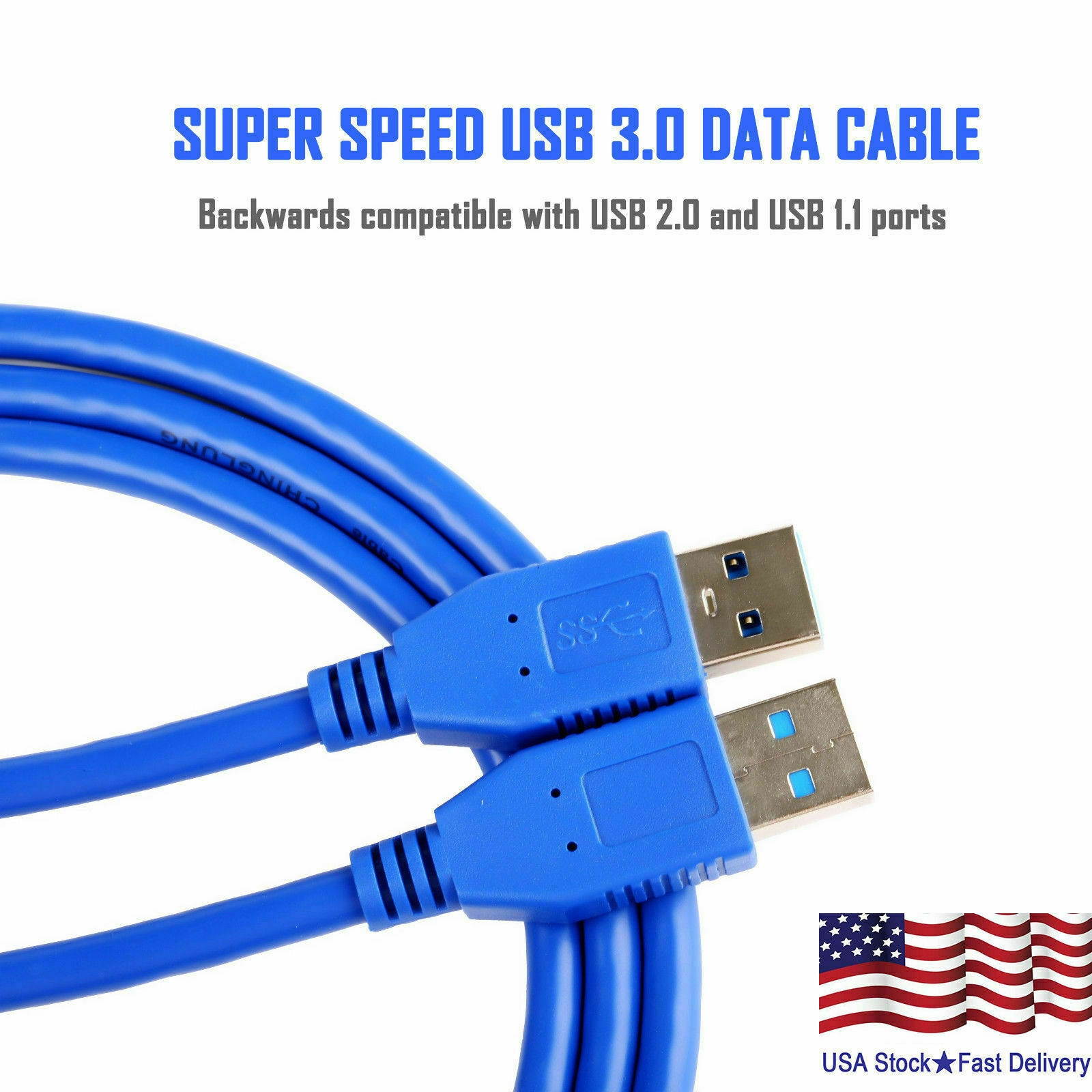
| PC InterFace Supported | USB |
| Digital Player | Yes |
| Supported Formats | JPEG |
| Battery Type | 2 AA batteries (not included); NiMH or Lithium recommended |
| Battery Life | 20 hours |
| Min Operating Temperature | 5°F |
| Max Operating Temperature | 158°F |
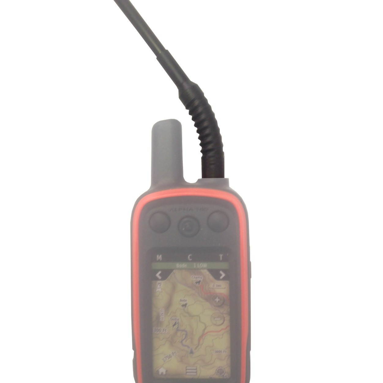
| GPS System Features | Waterproof (IPX7) Floats Track log: 10,000 points, 200 saved tracks Electronic compass (tilt-compensated, 3-axis) Barometric altimeter Geocaching-friendly (paperless) Custom maps compatible Photo navigation (navigate to geotagged photos) Hunt/fish calendar Sun and moon information Tide tables Area calculation Unit-to-unit transfer (shares data wirelessly with similar units) Garmin Connect compatible (online community where you analyze, categorize and share data) |
| Color | Black |
| Height | 6.0" |
| Depth | 1.2" |
| Width | 2.6" |
| Weight | 7.7 oz. |
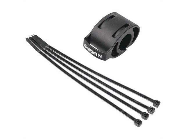
| Whats in the Box | GPSMAP 78sc Wrist strap USB cable Quick start manual |
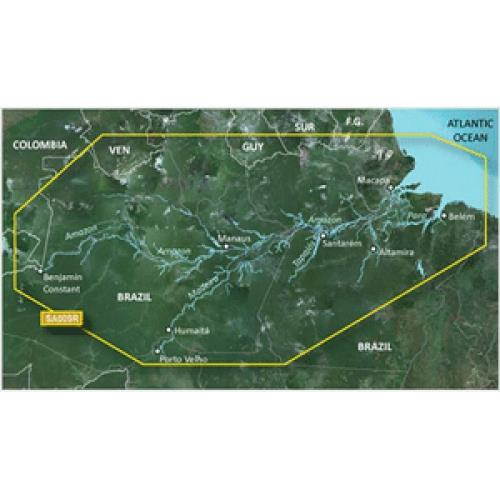
For boaters and watersports enthusiasts who want to run with the best, the rugged GPSMAP 78sc includes preloaded U.S. coastal charts and features a 3-axis compass, barometric altimeter, crisp color mapping, a high-sensitivity receiver, new molded rubber side grips, plus a microSD card slot for loading additional maps. And it floats!. GPSMAP 78sc comes with built-in BlueChart g2 coastal charts and a worldwide basemap with imagery - perfect for all your outdoor pursuits. Map detail includes shorelines, depth contours, navaids, harbors, marinas and more for the U.S. and Bahamas. And, like the rest of the 78-series, 78sc is IPX7 waterproof and even floats in water.Built-in Devices: CompassBuilt-in Devices: AltimeterFeatures: Hunt/Fish CalendarFeatures: Tide TableFeatures: Area CalculationFeatures: Custom POIFeatures: Water ProofFeatures: High-sensitivity ReceiverMemory Card Supported: microSD CardScreen Size: 2.6Color Supported: 65536 Colors (16-bit)USB: YesMaximum Battery Run Time: 20 HourForm Factor: MountableHeight: 6"Width: 2.6"Depth: 1.2"Weight (Approximate): 7.70 ozPackage Contents: GPSMAP 78sc Marine NavigatorWrist StrapUSB CableQuick Start ManualPackage ContentsGPSMAP 78sc Marine NavigatorWrist StrapUSB CableQuick Start Manual"