Trusted shipping
Easy returns
Secure shopping
Buy GARMIN INREACH EXPLORER+ SATELLITE COMMUNICATOR GPS 010-01735-10 in United States - Cartnear.com
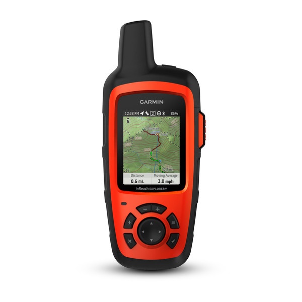
GARMIN INREACH EXPLORER+ SATELLITE COMMUNICATOR GPS 010-01735-10
CTNR1207909 0753759168704 CTNR1207909Garmin
2027-01-12
/itm/garmin-inreach-explorer-satellite-communicator-gps-010-01735-10-1207909
USD
542.32
$ 542.32 $ 547.80 1% Off
Item Added to Cart
customer
*Product availability is subject to suppliers inventory
SHIPPING ALL OVER UNITED STATES
100% MONEY BACK GUARANTEE
EASY 30 DAYSRETURNS & REFUNDS
24/7 CUSTOMER SUPPORT
TRUSTED AND SAFE WEBSITE
100% SECURE CHECKOUT
| Brand | GARMIN |
|---|---|
| Type | GPSNavigation |
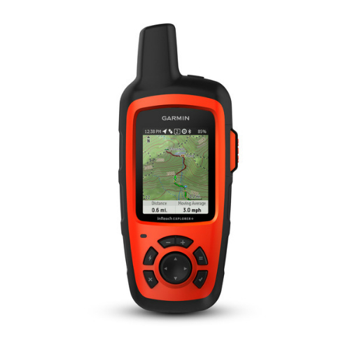
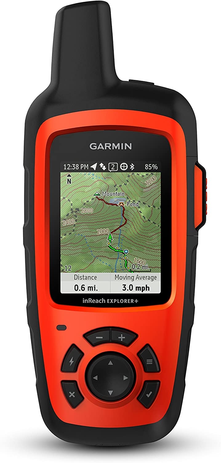
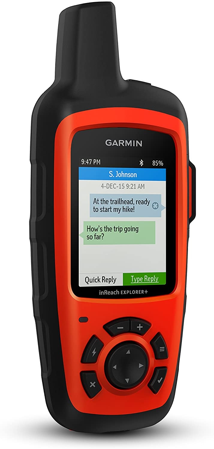
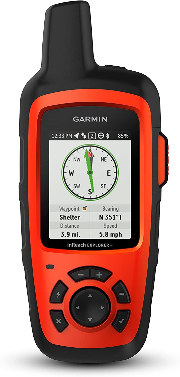
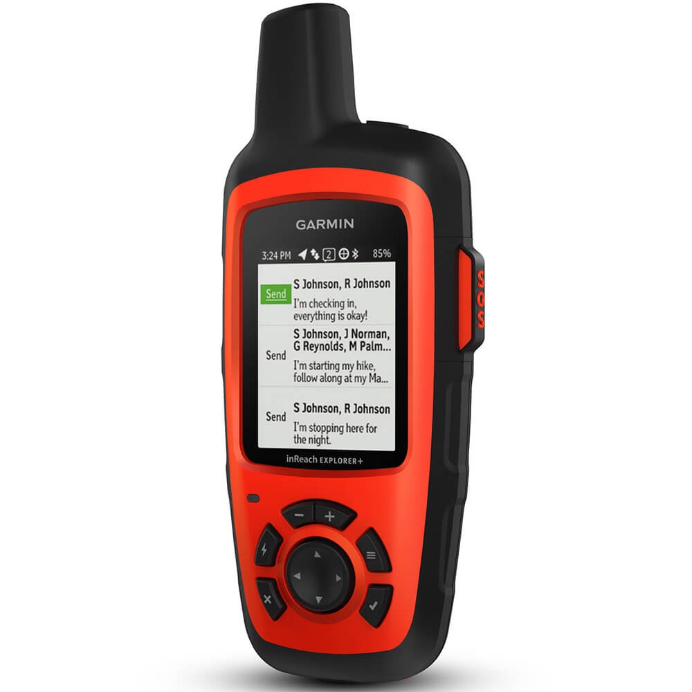
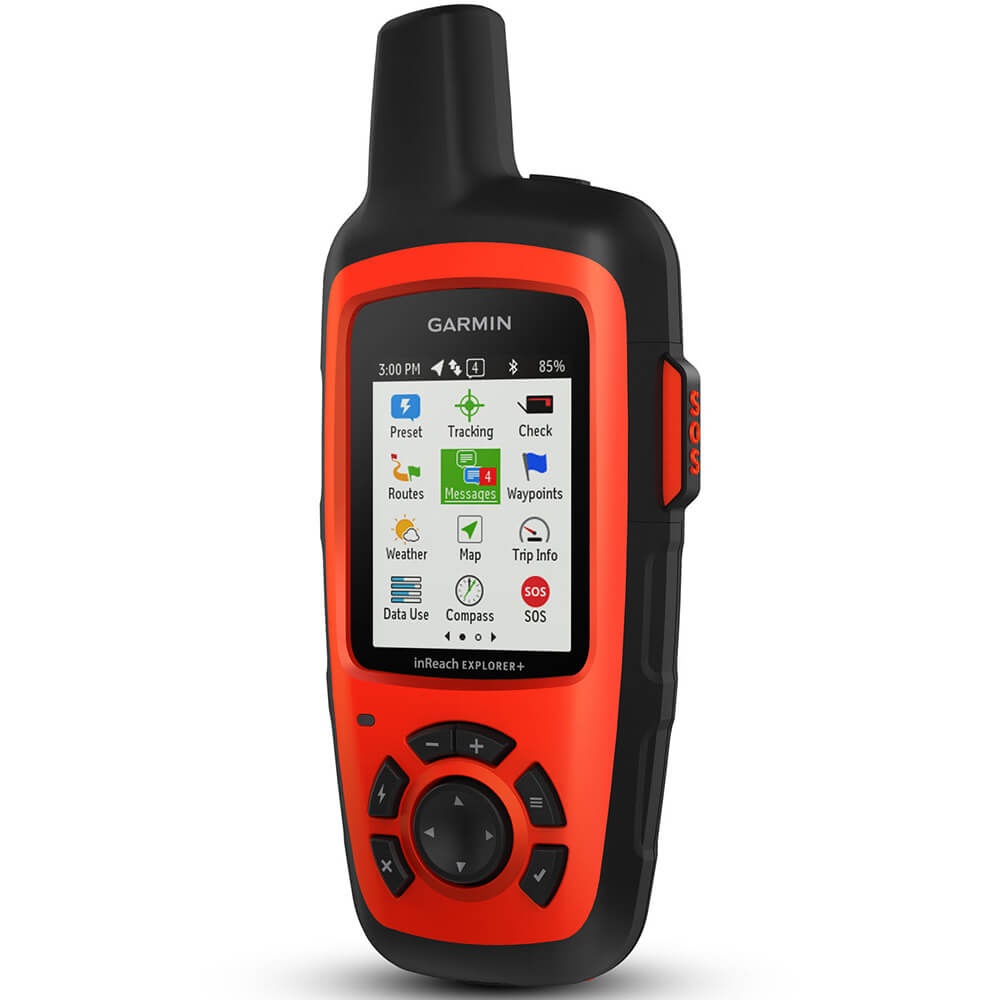
The Garmin inReach Explorer+ is a satellite communicator that features two-way text messaging over Global Satellite Network with a paid subscription. If you encounter a problem, you can send an SOS to GEOS, the 24/7 search and rescue monitoring center. Using the Garmin Earthmate app, you have access to unlimited maps, U. S. NOAA charts, aerial images, and more. Plus, with preloaded DeLorme TOPO maps you get GPS routing with a built-in compass, barometric altimeter, and accelerometer. Explore Anywhere. Communicate Globally. Using the worldwide coverage of the Iridium satellite network, these go-anywhere portable devices let you exchange text messages with any cell phone number or email address while using GPS to track and share your journeys progress.
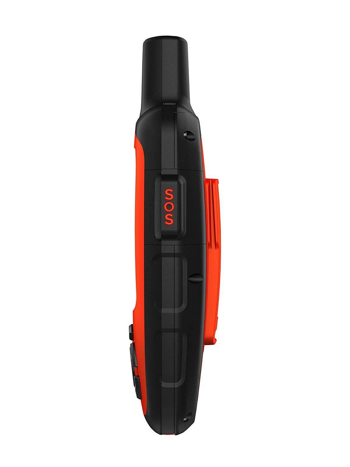
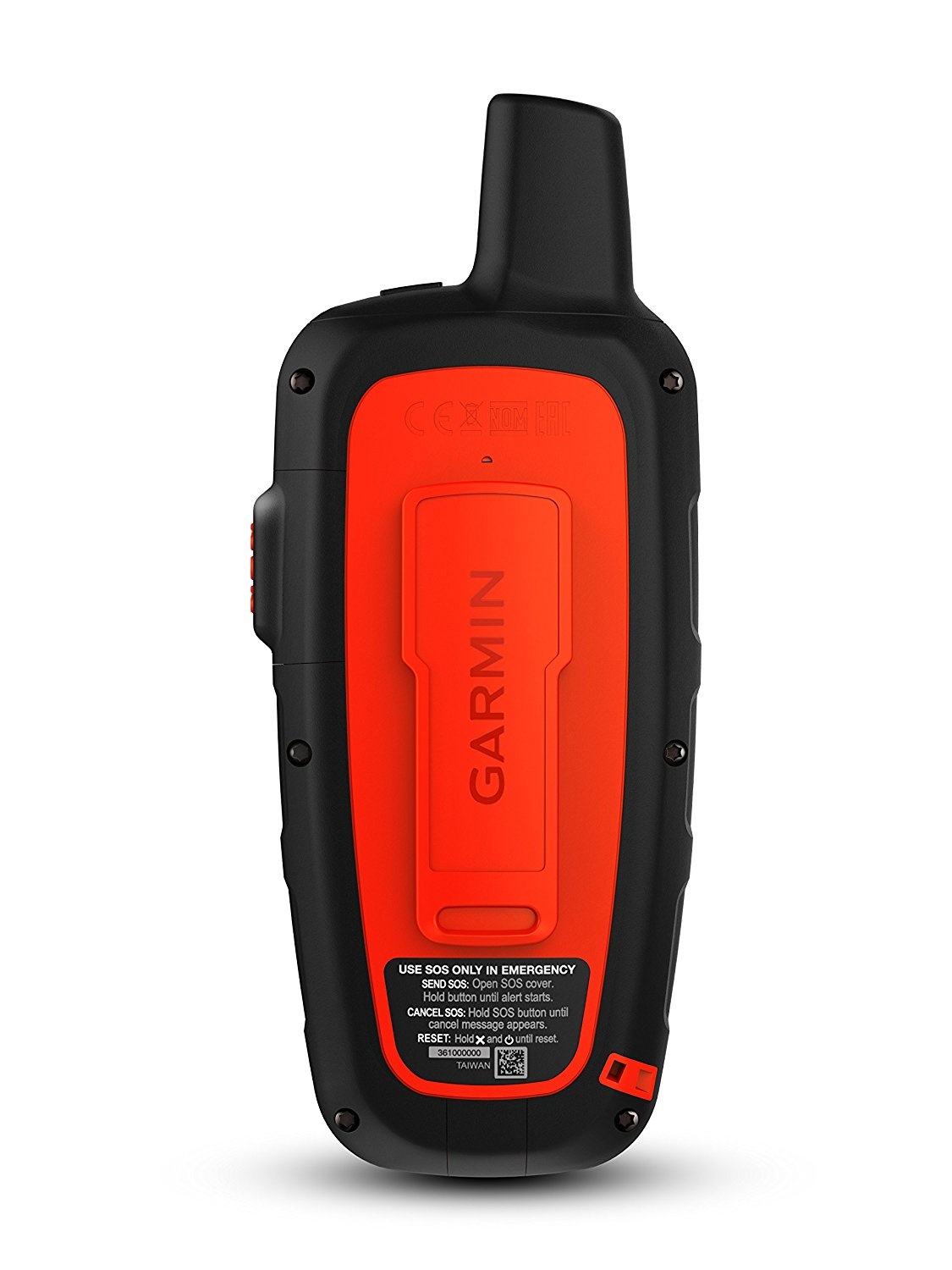
You can also post to social media or even communicate inReach-to-inReach in the field. In case of an at-risk situation, you can also use inReach to trigger an SOS to the 24/7 monitoring center, text back and forth about the nature of your emergency, and receive confirmation when help is on the way. No Cell Tower? No Phone Service? No Problem. inReach SE+ and Explorer+ give you all the tools to stay totally connected. You dont have to worry about being within range of a cell tower or encountering spotty coverage in fringe zones or blackout areas.
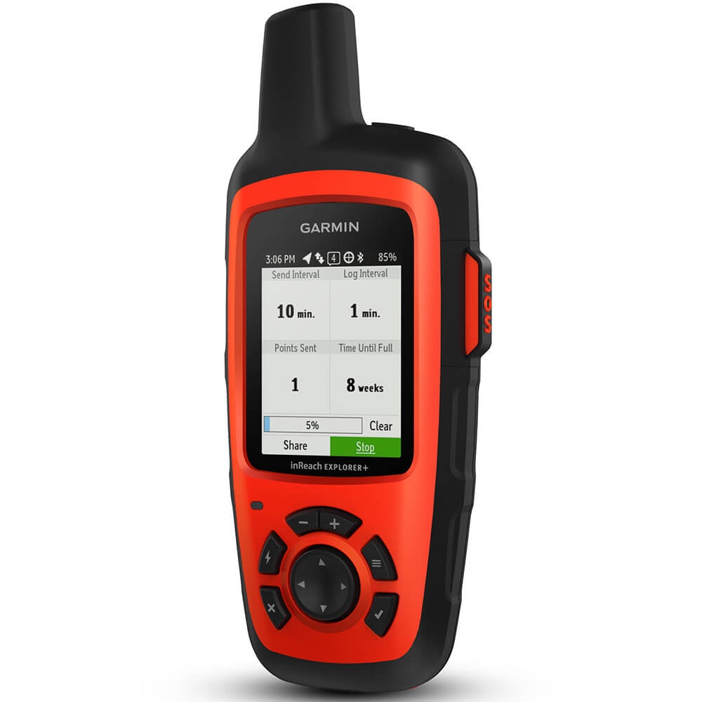
Your inReach communicator offers two-way messaging via the global Iridium satellite network. Track and Share Your Whereabouts Turn on the tracking function of your inReach SE+ or Explorer+ communicator, and let family and friends follow your progress on their computers or mobile devices, using the web-based MapShare portal. The inReach device will send waypoints at preselected time intervals, so followers can track your whereabouts online. You can also invite your crew back home to use MapShare to ping your inReach unit and see your GPS location, track your movements and exchange messages during your trip.
You can even embed your MapShare page on a blog, website or social media. Pair with Your Mobile Device For even more capability and convenience, the free Earthmate app syncs your inReach handheld via Bluetooth with your compatible Apple or Android device so you can access unlimited maps, aerial imagery and U. S. NOAA charts. Plus, Earthmate allows you to conveniently use all of the inReach features on your paired mobile device. For easier messaging, you can also access your phones contact list from the Earthmate app to connect with fewer keystrokes.
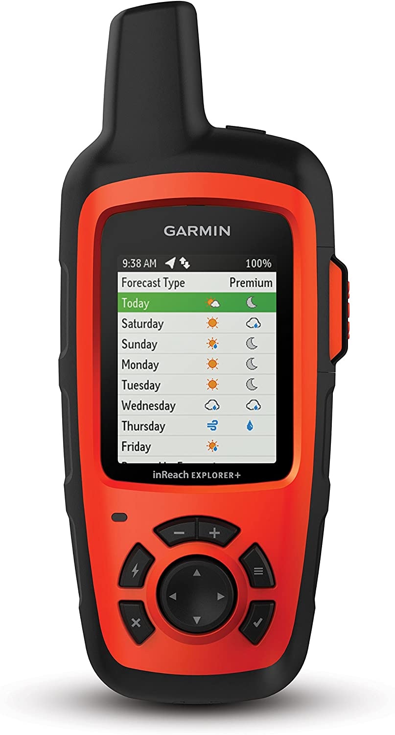
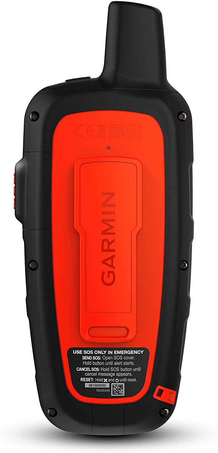
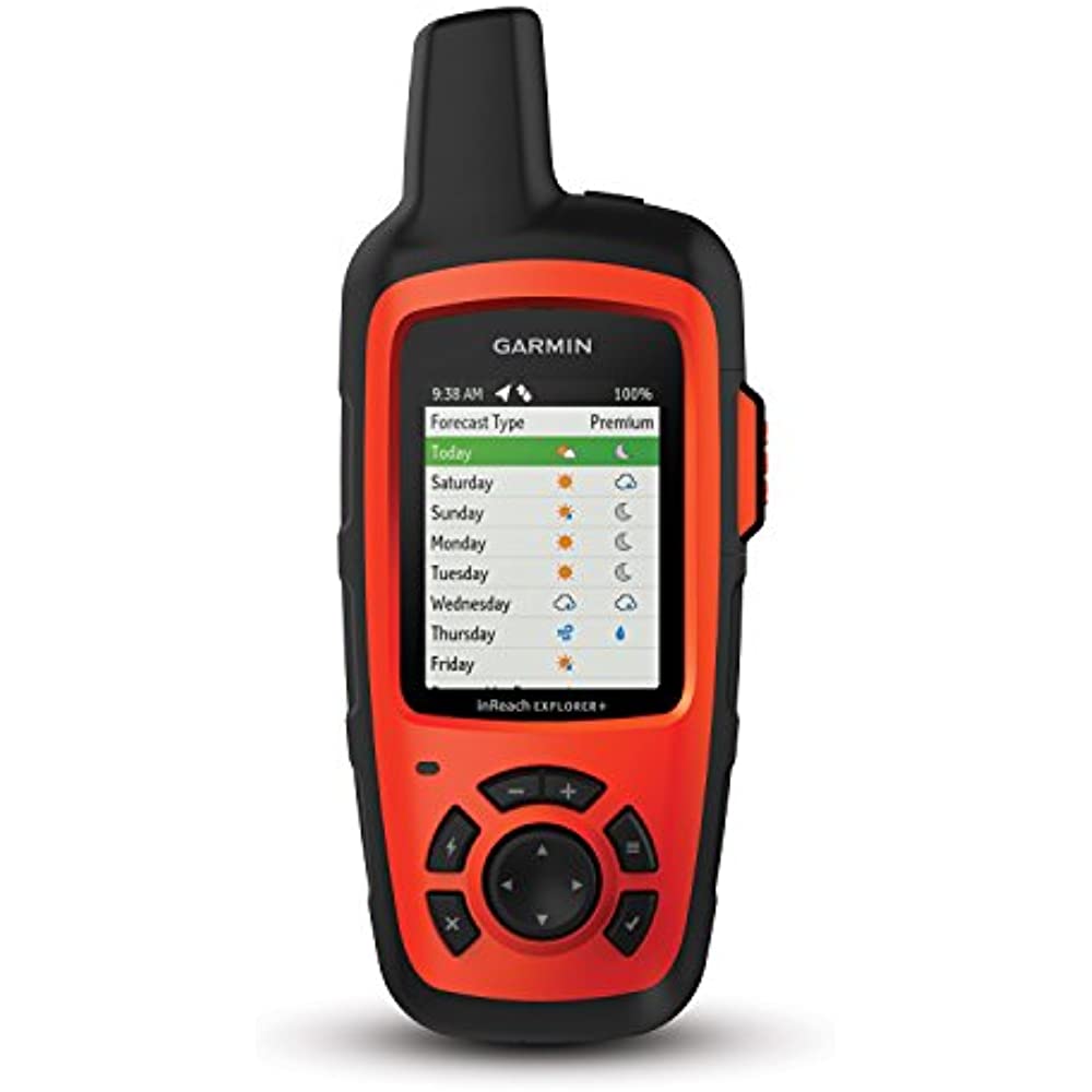
Get Weather Wherever The optional inReach weather forecast service provides detailed updates directly to your inReach device, compatible smartphone or tablet paired with the Earthmate app, so youll know what conditions to expect en route. Basic and premium weather packages are offered. And you can request weather forecasts for your current location or any other waypoint or destination on your itinerary. Who Will Answer Your SOS? GEOS Will. GEOS is the world leader in emergency response solutions and monitoring. Theyve supported rescues in more than 140 countries, saving many lives in the process.
And theyre standing by 24/7/365 to respond to your SOS, track your device and notify the proper contacts and emergency responders in your area. Then, while help is on the way, GEOS will continue to text back and forth with you, providing updates and critical information until your situation is resolved. Which inReach Is Right for You? As satellite communicators, both the inReach SE+ and Explorer+ offer identical messaging capabilities. However, its on the GPS navigation side that their differences become apparent. While inReach SE+ uses GPS to provide basic grid navigation and

