Trusted shipping
Easy returns
Secure shopping
Buy NAVICO STRUCTURESCAN 3D MODULE AND T/M TRANSDUCER 000-12395-001 in United States - Cartnear.com
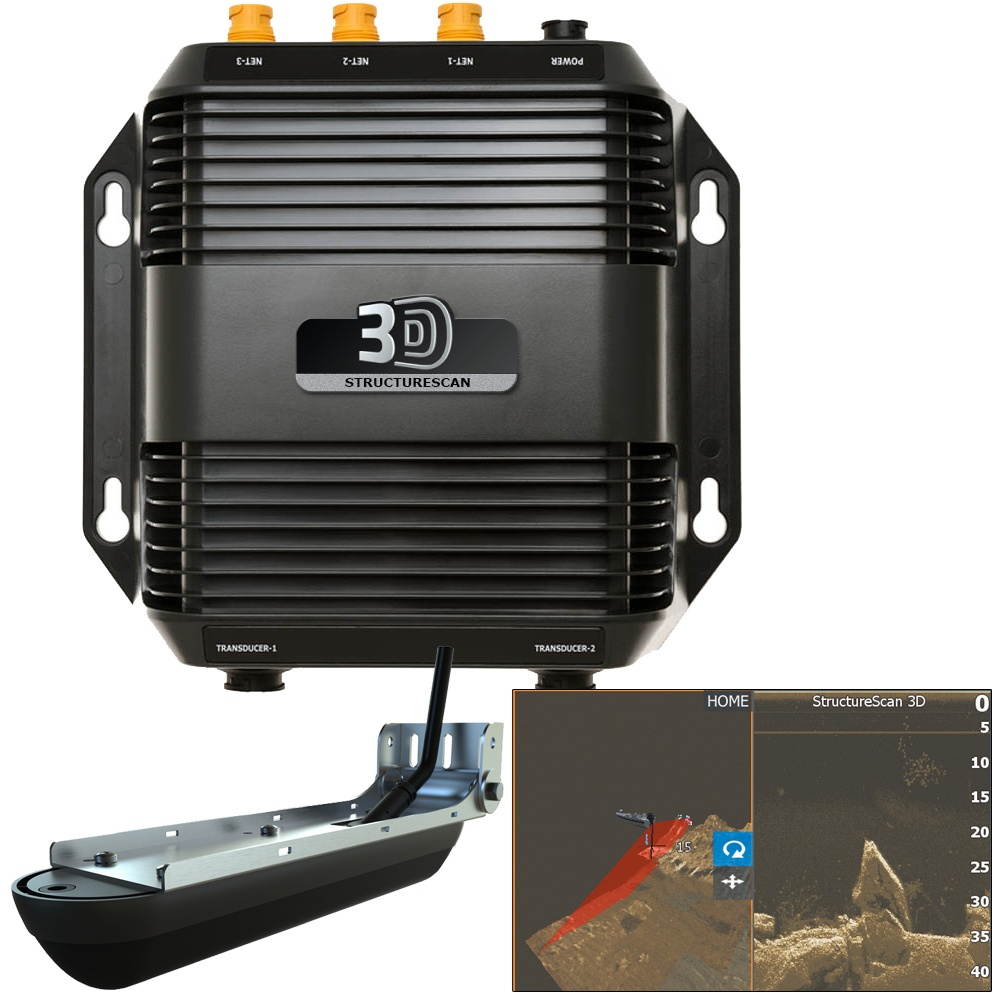
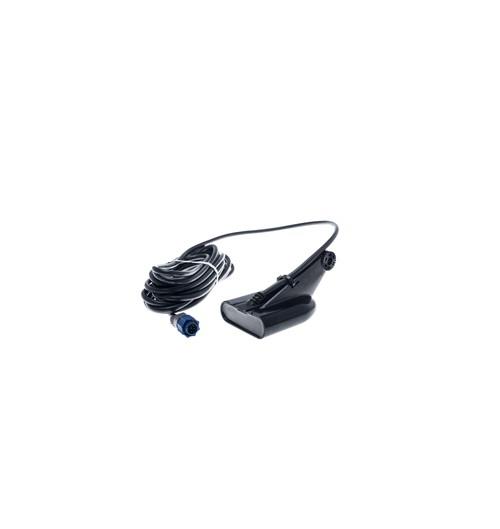
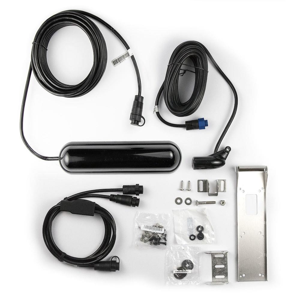
NAVICO STRUCTURESCAN 3D MODULE AND T/M TRANSDUCER 000-12395-001
CTNR1762388 09420024142875 CTNR1762388Lowrance
2027-02-25
/itm/navico-structurescan-3d-module-and-tm-transducer-000-12395-001-1762388
USD
1050.99
$ 1,051 $ 1,084 3% Off
Item Added to Cart
customer
*Product availability is subject to suppliers inventory
SHIPPING ALL OVER UNITED STATES
100% MONEY BACK GUARANTEE
EASY 30 DAYSRETURNS & REFUNDS
24/7 CUSTOMER SUPPORT
TRUSTED AND SAFE WEBSITE
100% SECURE CHECKOUT
| Brand | LOWRANCE |
|---|---|
| Type | Project Lamp |
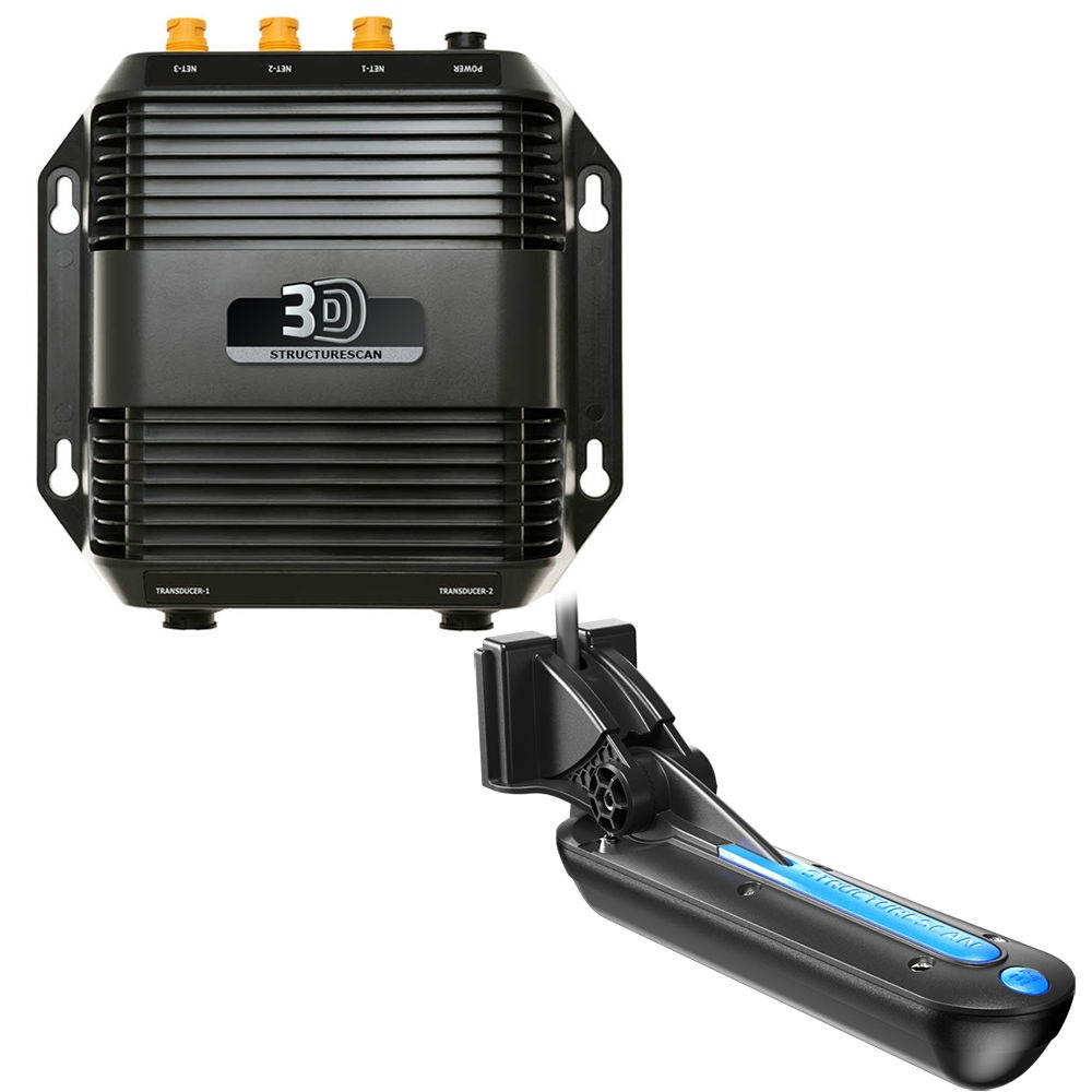
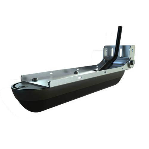
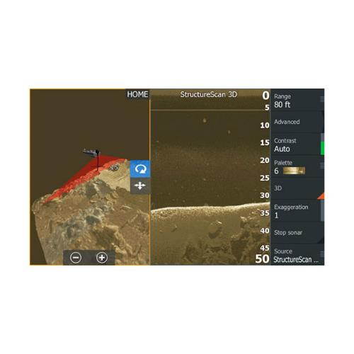
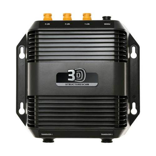
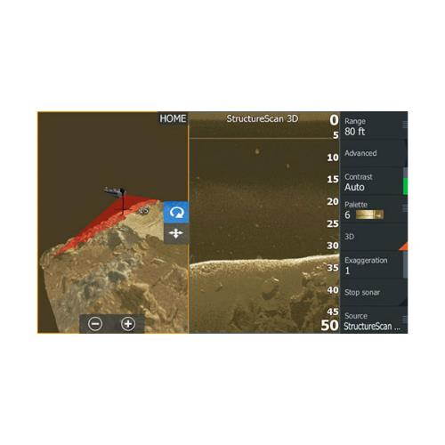
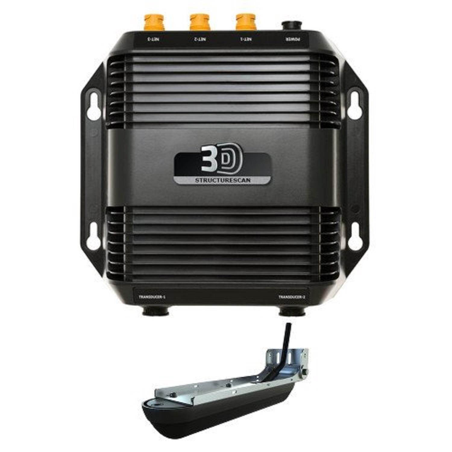
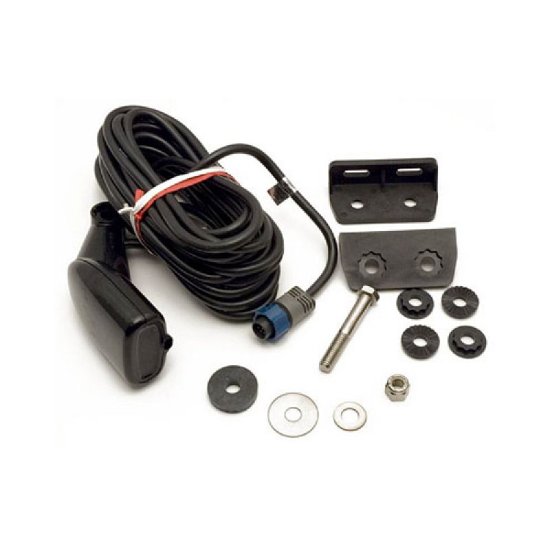
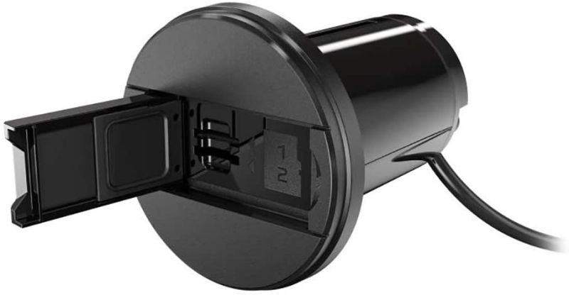
NAVICO STRUCTURESCAN 3D MODULE AND T/M TRANSDUCER 000-12395-001StructureScan 3D SideScan Imaging for HDS Gen3, NSS evo2 & NSO evo2Powered by multi-beam sonar technology, StructureScan 3D produces images of underwater terrain and targets in stunning, high-resolution, 180, 3-dimensional views.StructureScan 3D sidescan imaging reveals underwater terrain and fish-holding structure to create a super-wide, 180, 3-dimensional view beneath your boat. The exclusive 3-dimensional views can only be displayed on the Lowrance HDS Gen3 fishfinder/chartplotters, Simrad NSS evo2 and NSO evo2 navigational systems. This unique, true-to-life view is attained with a single SKU that includes a SideScan 3D Skimmer transducer and StructureScan 3D module.Features:Easy-to-Understand Sonar Images-Leading Edge scanning reference provides clear graphical illustration of sonar beams ScanTrack allows viewing of 3D images from any angle with pan-tilt-rotate controlIncreased SideScan Range and Unrivaled Clarity-Scan up to 600 feet to each side of the boat with incredibly detailed, high-definition views Easily understand where fish and fish-holding structure are located Easily identify vertical drops and crucial depth changesUse 3D Waypoint Overlay makes it easy to revisit fishing areas, structure, and other underwater featuresSelectScan Target Identification-Automatically shades fishholding cover and suspended targets in a contrasting color, making target identification quicker and easier than ever beforeStructureScan 3D Advantages:3-Dimensional Views, Improved DownScan Imaging & StructureScan HDContours below the water's surface are shown - up to 600 feet port and starboard - with incredibly detailed, high-definition views. StructureScan 3D provides multiple views, including 2-dimensional DownScan Imaging and StructureScan HD, and the realistic 3-dimensional views.Clearest Possible SideScan ViewsThe StructureScan 3D transducer design has been enhanced with an increased number of sensors for greater imaging performance.Complete Control Of Underwater ViewsUsing preset virtual point-of-view angles or ScanTrack pan-tilt-rotate control mode, you can adjust the view and perspective beneath your boat. Combine custom HD and 3D views to increase your understanding of how fish relate to cover and to search fishing areas more effectively.The Leading Edge Scanning Reference Instantly Shows Coverage AreaLeading Edge provides a graphical illustration of sonar beams as they intersect with bottom contours. The most recently scanned area is represented by red fan-shaped markers directly under the boat. Leading Edge also includes a depth scale that shows greater depth detail as you zoom in, giving you a better sense of target depth.SelectScan Target Identification Makes Fish Detection EasierAutomatically shades fish-holding cover and suspended targets in a color that contrasts the selected color palette, making target identification quicker and easier than ever before.Vertical Enhancement Makes Even The Slightest Depth Changes More VisibleThis feature is a user-selectable scale that applies onscreen emphasis to vertical drops and crucial depth contour changes, making them easier to identify relative to the surrounding underwater terrain.3D Waypoint Overlay Creates A Virtual Buoy MarkerRevisiting fishing areas, structure and other underwater features is easy with the Waypoint Overlay feature. Use the waypoint keypad to save a waypoint at the boat location, or switch to cursor mode, and save a waypoint over specific targets, baitfish or cover.Extra Ethernet ExpansionThe StructureScan 3D module supports connectivity For up to 3 networked devices.

