Trusted shipping
Easy returns
Secure shopping
Buy Chart: VFR Sectional WASHINGTON SWAS (Current Edition) in United States - Cartnear.com
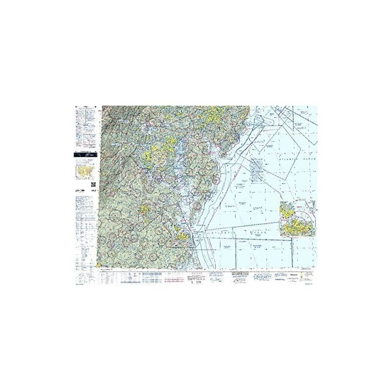
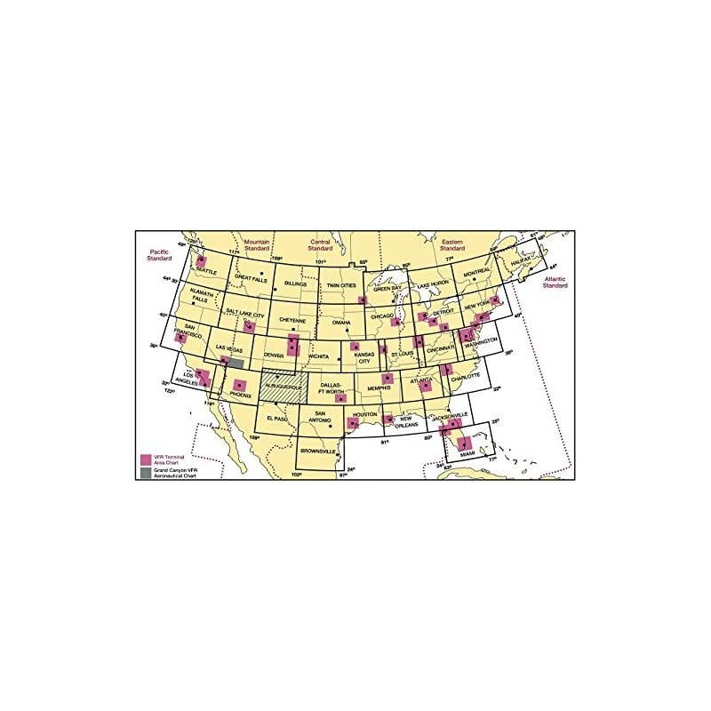
Chart: VFR Sectional WASHINGTON SWAS (Current Edition)
CTNR1615218 CTNR1615218Sbicca
2027-06-30
/itm/chart-vfr-sectional-washington-swas-current-edition-1615218
USD
17.47
$ 18 $ 18 2% Off
Item Added to Cart
customer
*Product availability is subject to suppliers inventory
SHIPPING ALL OVER UNITED STATES
100% MONEY BACK GUARANTEE
EASY 30 DAYSRETURNS & REFUNDS
24/7 CUSTOMER SUPPORT
TRUSTED AND SAFE WEBSITE
100% SECURE CHECKOUT
Size: FoldedVirtually every pilot knows that aviating around the nation's capital requires an incredible amount of planning and situational awareness to avoid unwanted surprises both in the air and on the ground. To help keep area aviators on good terms with both Uncle Sam and the general public, the 's Washington Sectional Aeronautical Chart is a must-have, "no-go" item that should be front and center from takeoff to touchdown while flying in the region. As is characteristic of the 's complete line of sectional charts, this foldable, full-color chart is loaded with valuable aviation data including airport info (runway lengths, lighting, elevation, services available, surface type, etc. ); airspace dimensions; VHF and LF/MF navigational facilities (frequency, ID, and channel); landmarks; cities & towns; elevation/topographic info; ATC entities and associated contact/radio frequencies; bodies of water; obstructions; and much, much more. The Washington Sectional covers the District of Columbia, Maryland, Delaware, Southern New Jersey, portions of Virginia and West Virginia, and even slivers of both North Carolina and Pennsylvania. Also includes the bustling airspace around Washington, D.
C., Baltimore and a portion of Philadelphia. In addition, the Washington Sectional clearly portrays the Special Flight Rules Area (SFRA) established in the aftermath of the September 11th attacks. Uses the standard 1:500, 000 ( 6.86 nm per inch; 2.70 nm per cm) scale characteristic of sectional charts. Updated every six months. A crucial aviation resource that no VFR pilot in the vicinity should ever risk flying without.
C., Baltimore and a portion of Philadelphia. In addition, the Washington Sectional clearly portrays the Special Flight Rules Area (SFRA) established in the aftermath of the September 11th attacks. Uses the standard 1:500, 000 ( 6.86 nm per inch; 2.70 nm per cm) scale characteristic of sectional charts. Updated every six months. A crucial aviation resource that no VFR pilot in the vicinity should ever risk flying without.