Trusted shipping
Easy returns
Secure shopping
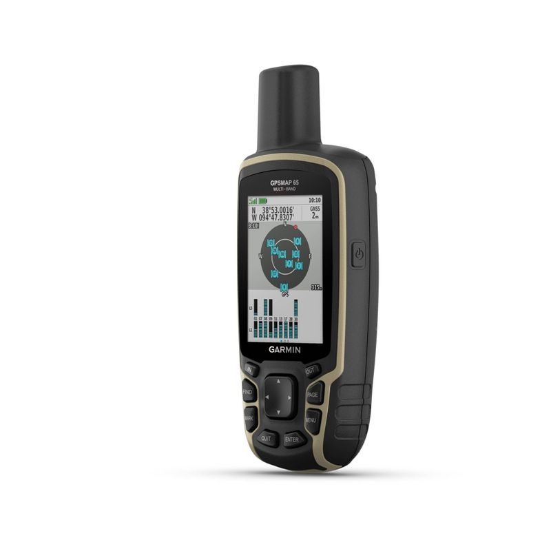
Buy Garmin 2.6" GPS with Built-In Bluetooth - GPSMAP 65s in United States - Cartnear.com
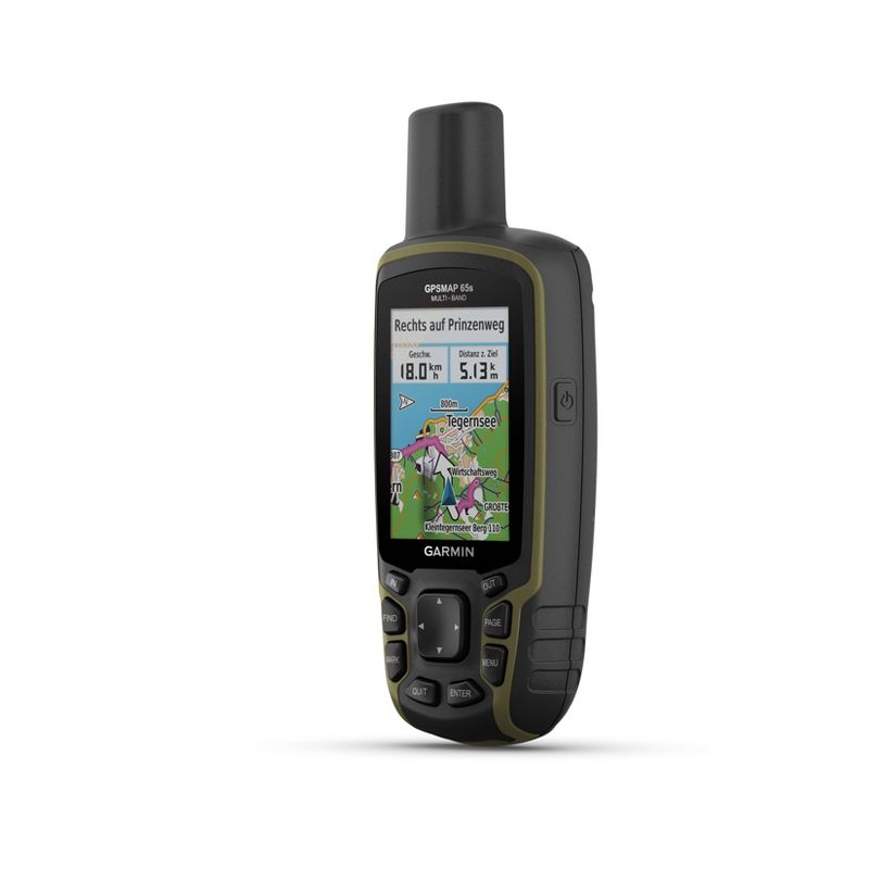
Garmin 2.6" GPS with Built-In Bluetooth - GPSMAP 65s
CTNR838771 0753759257866 CTNR838771Garmin
2027-02-05
/itm/garmin-26-gps-with-built-in-bluetooth-gpsmap-65s-838771
USD
422.39
$ 422.39 $ 439.99 4% Off
Item Added to Cart
customer
*Product availability is subject to suppliers inventory
SHIPPING ALL OVER UNITED STATES
100% MONEY BACK GUARANTEE
EASY 30 DAYSRETURNS & REFUNDS
24/7 CUSTOMER SUPPORT
TRUSTED AND SAFE WEBSITE
100% SECURE CHECKOUT
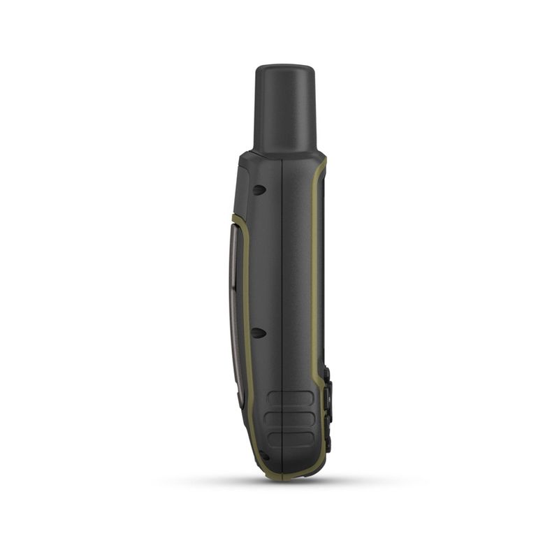
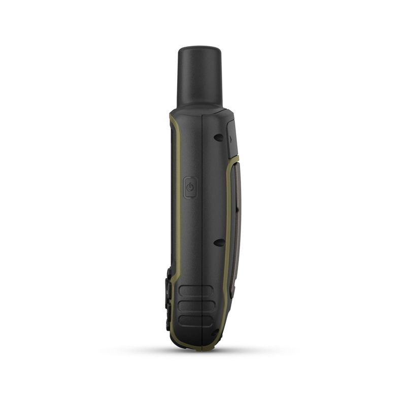
Dimensions (Overall): 6.3 Inches (H) x 2.4 Inches (W) x 1.4 Inches (D)
Weight: 7.7 Ounces
Includes: User Manual, USB Charger
Battery Charge Life: Up to 16 Hours
Electronics Features: Built-In Bluetooth, Download Capability, Memory Card Slot, Built-In Maps, Current Position Locator, Backlit Display
Mount Type: Suction
Screen Resolution: 160 x 240
Connection Types: USB
Wireless Technology: Wi-Fi, Bluetooth
Screen Size: 2.6 Inches
Primary use: Boat
Data storage capacity: 16 GB
Battery: 2 AA Lithium Ion, Required, Not Included
Warranty: 1 Year Limited Warranty. To obtain a copy of the manufacturer's or supplier's warranty for this item prior to purchasing the item,
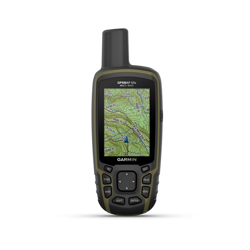
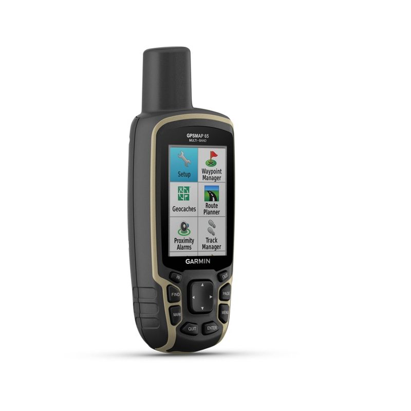
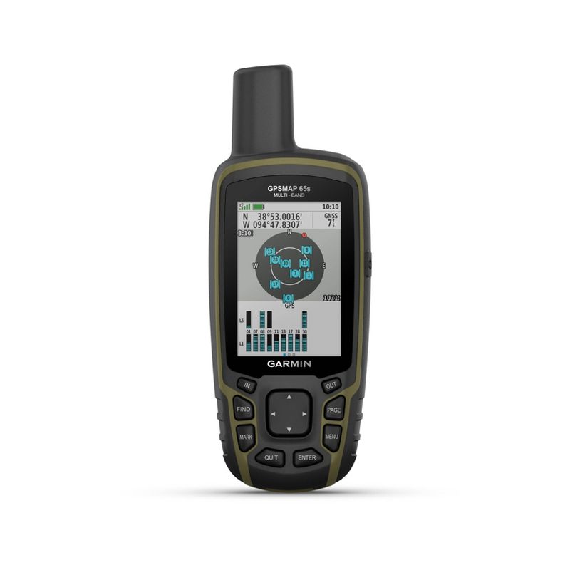
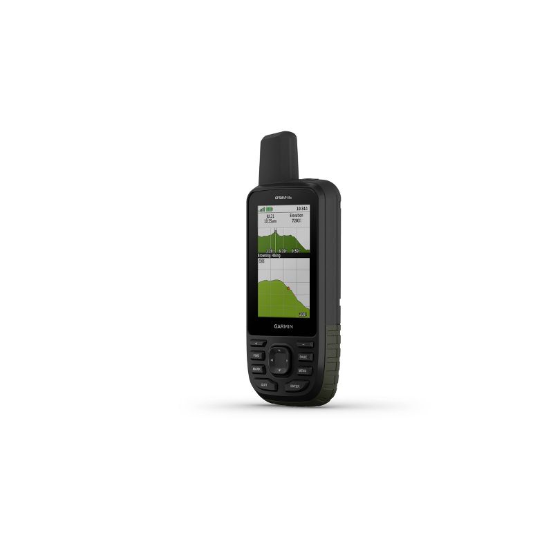
•Large 2.6” sunlight-readable color display for easy viewing
•Expanded global navigation satellite systems (GNSS) and multi-band technology allow you to get optimal accuracy in challenging locations, including steep country, urban canyons and forests with dense trees
•Includes routable TopoActive mapping and federal public land map (U.S. only)
•Go-anywhere navigation with 3-axis compass and barometric altimeter
•Compatible with the Garmin Explore™ website and app (compatible smartphone required) to help you manage tracks, routes and waypoints and review statistics from the field
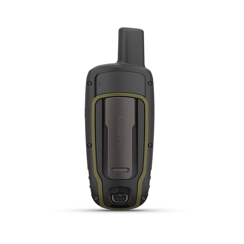
Find your way in this big, wide world with GPSMAP® 65s. This rugged handheld offers multi-band technology and expanded GNSS support for optimal accuracy in steep country, urban canyons and forests with dense trees. It has a 2.6” color display, button-operated design, routable TopoActive mapping and ABC (altimeter, barometer and compass) sensors. Wireless connectivity through BLUETOOTH® and ANT+® technologies provides compatibility with the Garmin Explore™ website and app (compatible smartphone required) to help you manage tracks, routes and waypoints and review statistics from the field.

