Trusted shipping
Easy returns
Secure shopping
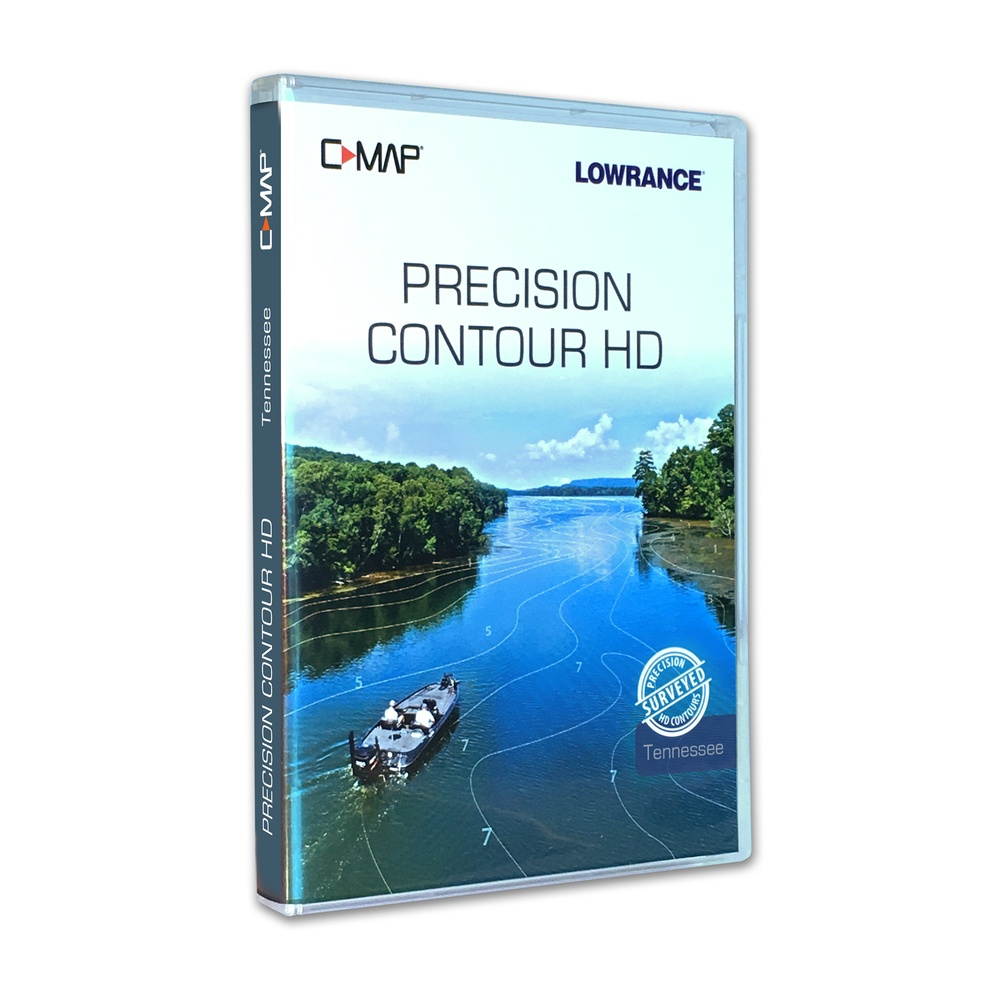
Buy LOWRANCE C-MAP PRECISION CONTOUR HD TENNESSEE in United States - Cartnear.com
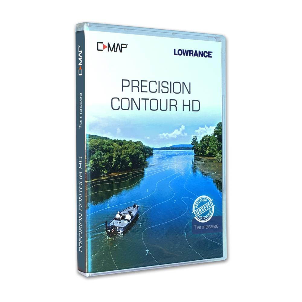
LOWRANCE C-MAP PRECISION CONTOUR HD TENNESSEE
CTNR1806719 09420024175781 CTNR1806719SIMRAD
2027-01-09
/itm/lowrance-c-map-precision-contour-hd-tennessee-1806719
USD
156.85
$ 156.85 $ 161.70 3% Off
Item Added to Cart
customer
*Product availability is subject to suppliers inventory
SHIPPING ALL OVER UNITED STATES
100% MONEY BACK GUARANTEE
EASY 30 DAYSRETURNS & REFUNDS
24/7 CUSTOMER SUPPORT
TRUSTED AND SAFE WEBSITE
100% SECURE CHECKOUT
| Brand | Lowrance |
|---|---|
| Type | Others |
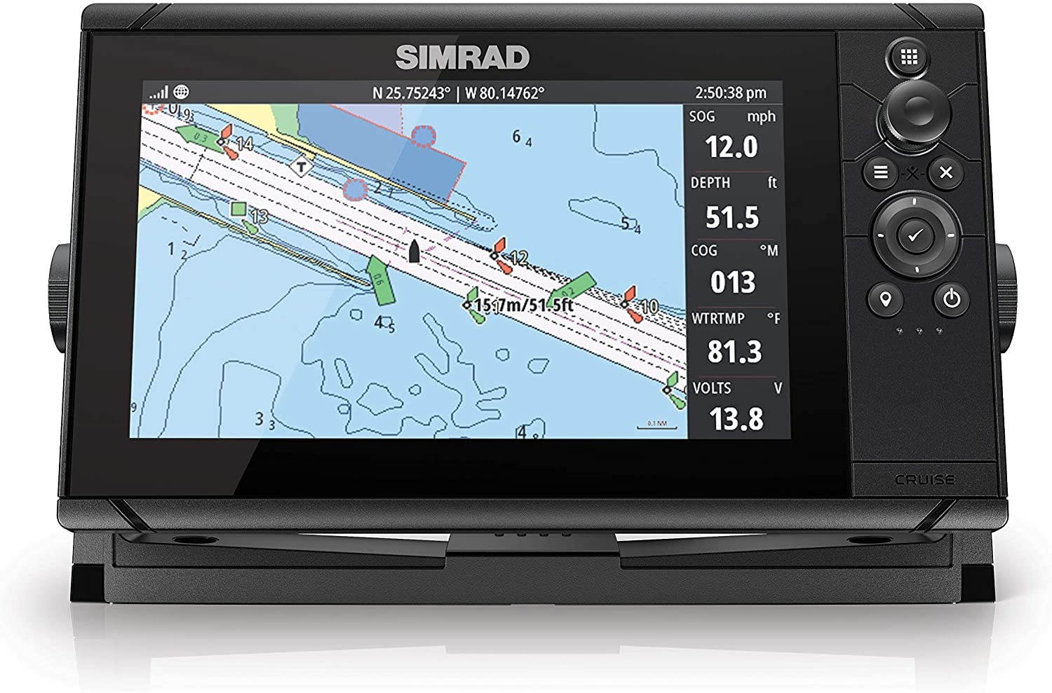
LOWRANCE C-MAP PRECISION CONTOUR HD TENNESSEEC-MAP Precision Contour HD Chart - TennesseePrecision Contour HD maps combine the best data from professional lake surveys, C-MAP Genesis Social Maps and traditional lake maps to deliver the most detailed statewide fishing maps.Featuring highly-detailed 1-foot contours, high-resolution satellite imagery and C-MAPs one-of-a-kind Custom Depth Shading, Precision Contour HD maps offer comprehensive coverage of areas - including shallow backwaters and distant creek arms - that other map cards overlook.The Precision Contour HD Tennessee card includes lakes that were meticulously surveyed using innovative C-MAP Genesis technology to create the most complete maps of key fish-holding bottom structure like humps, holes, reefs, shoals, drains, ditches, ledges and break lines.The Precision Contour HD Tennessee chart card contains the following C-MAP-surveyed waterbodies, as well as traditional data on other lakes in Tennessee - Chickamauga, Kentucky Lake, Douglas, Fort Loudon, Tellico, Old Hickory, Watts Bar, Melton Hill, J. Percy Priest, NickajackFollowing are the Tennessee Lakes featuring high-definition, non-surveyed, 1-foot contours: Cherokee, South Holston, Normandy, Woods Reservoir, Whipporwill, Pinoak, Bards, Crawford Springs, Parker Creech Hollow, Cumberland Mountain Lake, Herb Parson, Robinson Dogwood, Woodrun Lake No. 2, Laurel HillFeatures:Survey-quality contour data - 1-foot contour coverage, visible even at wide,zoom levelsCustom depth shading choose colors for specific depth ranges to highlight fishholding depths and/or hazard zonesPoints of Interest - includes traditional navigation information, C-MAP Navigation data, plus Fishing HotSpots waypoints and lakes-specific fishing tips and techniquesHigh-resolution satellite imagery used to locate man-made fish-holding structure like boat docksAvailable views include water and land, water only and land onlyPreset depth shading palettes, including safety shadingIncludes fishing regulations, records and ID photosCompatible with most Lowrance, Simrad and B G chartplottersFree 1-year subscription to C-MAP Genesis Edge custom mapping service

