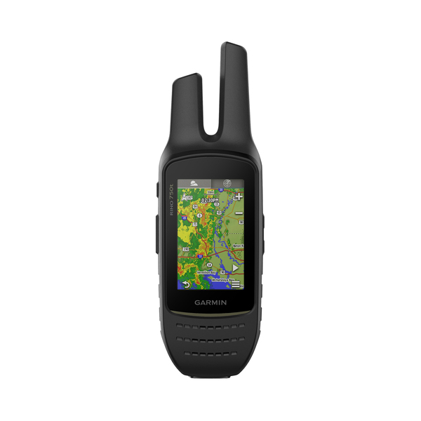
GPSMAP(R) 65s Multi-Band/Multi-GNSS Hiking Handheld GPS Device
Gpsmap 65s Hndhld GpsGarmin 010-02451-10 GPSMAP 65s Multi-Band/Multi-GNSS Hiking Handheld GPS Device & bull; Large 2.6-in., 160 x 240 sunlight-readable color display for easy viewing; & bull; Expanded global navigation satellite systems and multi-band technology allow user to get optimal accuracy in challenging locations, including steep country, urban canyons, and forests with dense trees; & bull; Preloaded, routable TopoActive mapping and optional display of federal public land boundaries; & bull; Go-anywhere navigation with 3-axis electronic compass, barometer, and altimeter; & bull; Compatible with the Garmin Explore(TM) website and app to help manage tracks, routes, and waypoints and review statistics from the field; & bull; Syncs to compatible smartphone to receive emails, texts, and alerts; & bull; Can upload GPX files straight to device for paperless geocaching; & bull; microSD(TM) Card slot to download TOPO 24K maps or access Garmin HuntView(TM) Plus maps; & bull; Up to 16 hours of battery life in GPS mode; & bull; Weight: 7.7 oz. with batteries; & bull; Includes USB charging cable, carabiner clip, and documentation;Manufacturer's Warranty: 1-YEAR
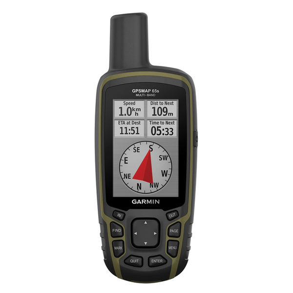
GPSMAP(R) 65 Multi-Band/Multi-GNSS Handheld
Gpsmap 65 Hndhld GpsGarmin 010-02451-00 GPSMAP 65 Multi-Band/Multi-GNSS Handheld & bull; Large 2.6 in. sunlight-readable color display for easy viewing; & bull; Expanded global navigation satellite systems and multi-band technology allow user to get optimal accuracy in challenging locations, including steep country, urban canyons, and forests with dense trees; & bull; Includes routable TopoActive mapping and federal public land map ; & bull; Compatible with the Garmin Explore(TM) website and app to help manage tracks, routes, and waypoints and review statistics from the field; & bull; Includes USB cable, carabiner clip, and documentation;Manufacturer's Warranty: 1-YEAR
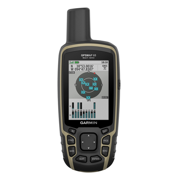
Edge(R) 130 Plus Bike GPS Computer Bundle
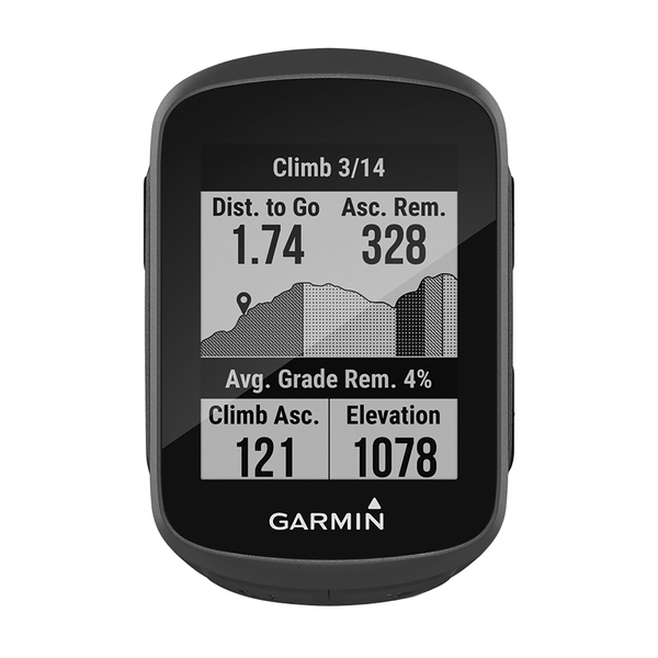
Edge 130 Plus BndlGarmin 010-02385-10 Edge 130 Plus Bike GPS Computer Bundle & bull; Simplified, rugged design with 1.8 in. display that's crisp and easy to read in sunlight or low-light conditions; & bull; Get training guidance by syncing structured indoor or outdoor workouts to the device from the Garmin Connect(TM) app or other apps, including TrainingPeaks(R) and TrainerRoad; & bull; Improve fitness with dynamic performance insights such as VO2 max and heart rate (when paired with a compatible heart rate monitor), and manage your efforts during tough ascents with the ClimbPro feature; & bull; Easy to follow navigation with turn prompts and breadcrumb map; & bull; Cycling awareness features give loved ones peace of mind; get incident detection and assistance --which both send real-time location to emergency contacts (when paired with a compatible heart rate monitor), --plus compatibility with Varia(TM) rearview radar and lights ; & bull; Know how far, fast, hard and high rides are with data from GPS, GLONASS, and Galileo satellites and an altimeter; & bull; Track jumpcount, jump distance, and hang time with mountain bike dynamics; & bull;Train anywhere thanks to compatibility with Tacx(R) indoor trainers (coming soon); & bull;Battery life: up to 12 hours; & bull; Includes HRM-Dual(TM) standard mount, USB cable, tether, and documentation;Note: Due to the existence of lithium batteries, additional shipping charges or restrictions may apply. Shipping restrictions may require a ship method that is limited to GROUND and this may impact time in transit and available delivery locations.;Manufacturer's Warranty: 1-YEAR
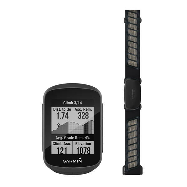
Edge(R) 130 Plus Bike GPS Computer
Edge 130 PlusGarmin 010-02385-00 Edge 130 Plus Bike GPS Computer & bull; Simplified, rugged design with 1.8 in. display that's crisp and easy to read in sunlight or low-light conditions; & bull; Ability to get training guidance by syncing structured indoor or outdoor workouts to the device from the Garmin Connect(TM) app or other apps, including TrainingPeaks(R) and TrainerRoad; & bull; Improves fitness with dynamic performance insights such as VO2 max and heart rate (when paired with a compatible heart rate monitor), and manages efforts during tough ascents with the ClimbPro feature; & bull; Easy-to-follow navigation with turn prompts and breadcrumb map; & bull; Cycling awareness features give loved ones peace of mind; incident detection and assistance send real-time location to emergency contacts (when paired with a compatible heart rate monitor); & bull; Compatibility with Varia(TM) rearview radar and lights ; & bull; Ability to know how far, fast, hard and high rides are with data from GPS, GLONASS, and Galileo satellites and an altimeter; & bull; Track jumpcount, jump distance, and hang time with mountain bike dynamics; & bull; Train anywhere thanks to compatibility with Tacx(R) indoor trainers; & bull; Battery life: up to 12 hours; & bull; Includes standard mount, USB cable, tether, and documentation;Note: Due to the existence of lithium batteries, additional shipping charges or restrictions may apply. Shipping restrictions may require a ship method that is limited to GROUND and this may impact time in transit and available delivery locations.;Manufacturer's Warranty: 1-YEAR
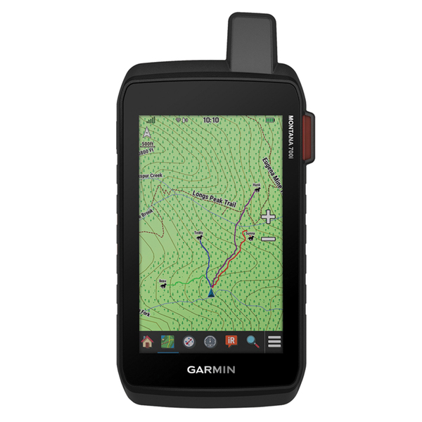
Montana(R) 700i Rugged GPS Touchscreen Navigator with inReach(R) Technology
Montana 700i Gps NavGarmin 010-02347-10 Montana 700i Rugged GPS Touchscreen Navigator with inReach Technology & bull; Features rugged military-grade construction and a 5 in. touchscreen display that's 50% larger than the previous model; offers easy viewability and includes versatile mounting solutions ; & bull; Ability to trigger an interactive SOS to the GEOS 24/7 monitoring center or use of the full QWERTY touchscreen keyboard for 2-way messaging via the 100% global Iridium(R) satellite network (active satellite subscription required; some jurisdictions regulate or prohibit the use of satellite communications devices); & bull; Multi-GNSS (GPS and Galileo) support--plus preloaded TopoActive maps and City Navigator street map navigation; navigation sensors include 3-axis compass and barometric altimeter; & bull; Pro-connected with ANT+(R) technology, Wi-Fi(R) connectivity and Bluetooth(R) wireless networking, giving user direct-to-device access to BirdsEye Satellite Imagery downloads, location sharing, Connect IQ(TM) app support, and more; & bull; Compatible with the Garmin Explore(TM) website and app to help user manage waypoints, routes, activities and collections, use tracks, and review trip data from the field ; & bull; Rechargeable Li-Ion battery pack can provide more than 18 hours of battery life in GPS mode and 1 week in Expedition mode between charges; & bull; Includes Li-Ion battery pack, USB cable, and documentation;Note: Due to the existence of lithium batteries, additional shipping charges or restrictions may apply. Shipping restrictions may require a ship method that is limited to GROUND and this may impact time in transit and available delivery locations.;Manufacturer's Warranty: 1-YEAR
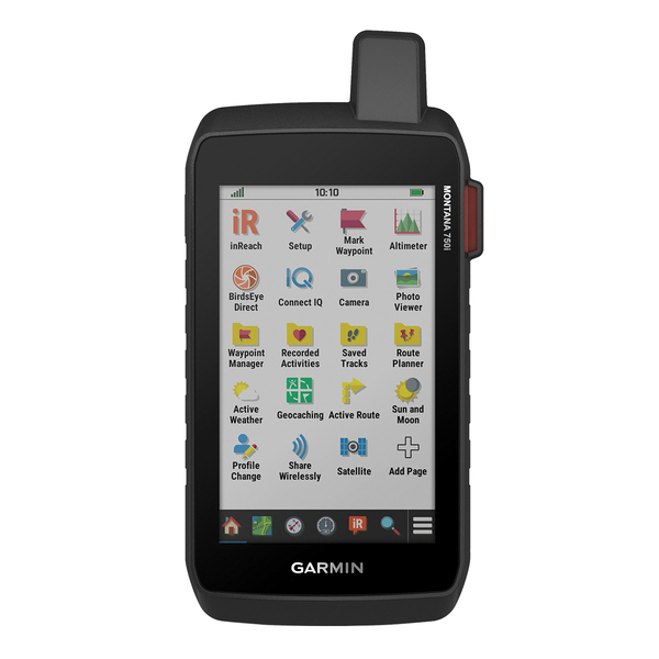
Montana(R) 750i Rugged GPS Touchscreen Navigator with inReach(R) Technology and 8 Megapixel Camera
Montana 750i Gps NavGarmin 010-02347-00 Montana 750i Rugged GPS Touchscreen Navigator with inReach Technology and 8 Megapixel Camera & bull; Features rugged military-grade construction and a 5 in. touchscreen display that's 50% larger than the previous model; 8.0-megapixel camera lets user capture images while on the go; & bull; Ability to trigger an interactive SOS to the GEOS 24/7 monitoring center or use of the full QWERTY touchscreen keyboard for 2-way messaging via the 100% global Iridium(R) satellite network (active satellite subscription required; some jurisdictions regulate or prohibit the use of satellite communications devices); & bull; Multi-GNSS (GPS and Galileo) support--plus preloaded TopoActive and City Navigator maps; navigation sensors include 3-axis compass and barometric altimeter; & bull; Pro-connected with ANT+(R) technology, Wi-Fi(R) connectivity and Bluetooth(R) wireless networking, giving user direct-to-device access to BirdsEye Satellite Imagery downloads, location sharing, Connect IQ(TM) app support, and more; & bull; Compatible with the Garmin Explore(TM) website and app to help user manage waypoints, routes, activities and collections, use tracks and review trip data from the field ; & bull; Rechargeable Li-Ion battery pack can provide more than 18 hours of battery life in GPS mode and 1 week in Expedition mode between charges; & bull; Includes Li-Ion battery pack, USB cable, and documentation;Note: Due to the existence of lithium batteries, additional shipping charges or restrictions may apply. Shipping restrictions may require a ship method that is limited to GROUND and this may impact time in transit and available delivery locations.;Manufacturer's Warranty: 1-YEAR
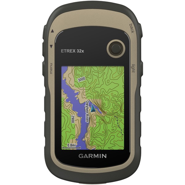
eTrex(R) 32x Rugged Handheld GPS with Compass and Barometric Altimeter
Etrex 32x Rggd Hndhld GpsGarmin 010-02257-00 eTrex 32x Rugged Handheld GPS with Compass and Barometric Altimeter & bull; Explore confidently with the reliable handheld GPS; & bull; 2.2 in. sunlight-readable color display with 240 x 320 display pixels for improved readability; & bull; Preloaded with TopoActive maps with routable roads and trails for cycling and hiking; & bull; Support for GPS and GLONASS satellite systems allows for tracking in more challenging environments than GPS alone; & bull; 8 GB of internal memory for map downloads plus a microSD(TM) Card slot; & bull; eTrex(R) 32x adds a 3-axis compass and barometric altimeter; & bull; Battery life: up to 25 hours in GPS mode with 2 AA batteries; & bull; Includes USB cable and documentation;Manufacturer's Warranty: 1-YEAR
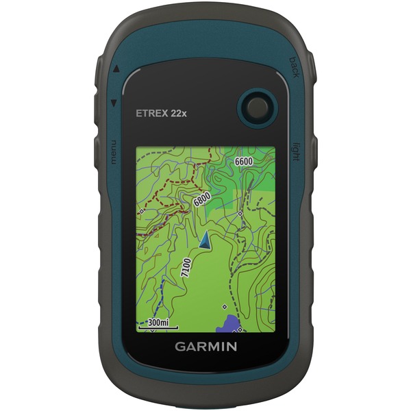
eTrex(R) 22x Rugged Handheld GPS
Etrex 22x Hndhld GpsGarmin 010-02256-00 eTrex 22x Rugged Handheld GPS & bull; Explore confidently with the reliable handheld GPS; & bull; 2.2 in. sunlight-readable color display with 240 x 320 display pixels for improved readability; & bull; Preloaded with TopoActive maps with routable roads and trails for cycling and hiking; & bull; Support for GPS and GLONASS satellite systems allows for tracking in more challenging environments than GPS alone; & bull; 8 GB of internal memory for map downloads plus a microSD(TM) Card slot; & bull; Battery life: up to 25 hours in GPS mode with 2 AA batteries; & bull; Includes USB cable and documentation;Manufacturer's Warranty: 1-YEAR
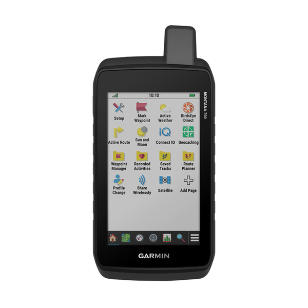
Montana(R) 700 Rugged GPS Touchscreen Navigator
Montana 700 Rggd Gps NavGarmin 010-02133-00 Montana 700 Rugged GPS Touchscreen Navigator & bull; Rugged construction is rated to MIL-STD 810 for thermal, shock, water, and vibration ; & bull; 5 in. glove-friendly touchscreen display offers easy viewability; available with versatile mounting options; & bull; Multi-GNSS support--plus preloaded TopoActive maps; outdoor navigation sensors include 3-axis compass and barometric altimeter; & bull; Pro-connected with ANT+(R) technology, Wi-Fi(R) connectivity and Bluetooth(R) wireless networking, giving user direct-to-device access to BirdsEye Satellite Imagery downloads, location sharing, Connect IQ(TM) app support, and more; & bull; Compatible with the Garmin Explore(TM) website and app to help manage waypoints, routes, activities and collections, use tracks, and review trip data from the field; & bull; Rechargeable Li-Ion battery pack can provide more than 18 hours of battery life in GPS mode and 1 week in Expedition mode between charges; can also be powered with traditional AA batteries; & bull; Includes Li-Ion battery pack, USB cable, and documentation;Note: Due to the existence of lithium batteries, additional shipping charges or restrictions may apply. Shipping restrictions may require a ship method that is limited to GROUND and this may impact time in transit and available delivery locations.;Manufacturer's Warranty: 1-YEAR
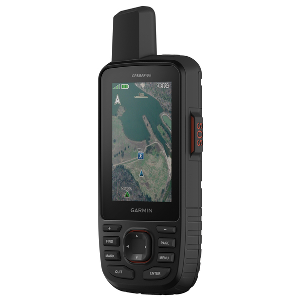
GPSMAP(R) 66i GPS Handheld and Satellite Communicator
Gpsmap 66i Hndhld GpsGarmin 010-02088-01 GPSMAP 66i GPS Handheld and Satellite Communicator & bull; Large, 3 in. sunlight-readable color display for easy viewing; & bull; Trigger an interactive SOS to the GEOS 24/7 search and rescue monitoring center; 2-way messaging via the 100% global Iridium(R) satellite network (satellite subscription required); & bull; Preloaded Garmin(R) TOPO mapping with direct-to-device BirdsEye Satellite Imagery downloads (no annual subscription); includes multiple Global Navigation Satellite Systems (GNSS) support and navigation sensors; & bull; Cellular connectivity lets user access Active Weather forecasts and Geocaching Live; & bull; Compatible with the Garmin Explore(TM) website and app to help user manage waypoints, routes, activities, and collections, use tracks, and review trip data from the field; & bull; Internal, rechargeable lithium battery provides up to 35 hours of battery life in 10-minute tracking mode and 1-minute tracking mode (display off); 200 hours in Expedition mode with 30-minute tracking; & bull; Some jurisdictions regulate or prohibit the use of satellite communications devices; it is the responsibility of the user to know and follow all applicable laws in the jurisdictions where the device is intended to be used; & bull; Includes USB cable, carabiner clip, and documentation;Note: Due to the existence of lithium batteries, additional shipping charges or restrictions may apply. Shipping restrictions may require a ship method that is limited to GROUND and this may impact time in transit and available delivery locations.;Manufacturer's Warranty: 1-YEAR
Rino(R) 750t 3-In. Hiking Handheld 2-Way Radio/GPS Navigator
Rino 755t Radio/gps NavGarmin 010-01958-30 Rino 750t 3-In. Hiking Handheld 2-Way Radio/GPS Navigator & bull; 3-in. sunlight-readable touchscreen with dual orientation (landscape or portrait view); & bull; 5-watt GMRS 2-way radio offers extended range, up to 20 miles; communicate by voice or unit-to-unit text messaging; & bull; Preloaded TOPO U.S. 100K maps and worldwide basemap with shaded relief; & bull; Multi-GNSS support; tracks in more challenging environments than GPS alone; & bull; Position reporting feature shows locations of other Rino(R) device users on same channel; & bull; 3-axis compass with accelerometer and barometric altimeter sensors; & bull; Wirelessly share routes, tracks, waypoints, and geocaches with other compatible Garmin(R) handheld devices; & bull; Connectivity with your headsets enabled with Bluetooth(R) technology for improved voice communication; & bull; Pair with your compatible smartphone for smart notifications and automatic uploads to the Garmin Connect(TM) app; & bull; Supports active weather forecasts and animated weather tracking (not available in all areas); & bull; Dual battery system provides up to 14 hours between charges on Li-Ion pack or up to 18 hours with optional AA batteries (not included); & bull; Includes USB cable, Li-ion battery pack, AC charger, carabiner clip, and documentation;Note: Due to the existence of lithium batteries, additional shipping charges or restrictions may apply. Shipping restrictions may require a ship method that is limited to GROUND and this may impact time in transit and available delivery locations.;Manufacturer's Warranty: 1-YEAR LIMITED
