Trusted shipping
Easy returns
Secure shopping
- Clothing, Shoes, Jewelry & Watches
- Home, Garden, Outdoor & Pets
- Electronics
- Audio, Video & Portable Devices
- Cables
- Adapters & Gender Changers
- Headsets, Speakers & Soundcards
- Power Protection
- 3D Printing
- Video Cards & Video Devices
- Tools & Components
- Sound Cards
- Alternative Energy
- Barebone / Mini Computers
- SSDs
- Accessories
- Mobile Accessories
- Storage Devices
- Personal Care
- Healthcare
- Home Theatre Systems
- Laptops, Computers & Office
- Speakers & Audio Systems
- Tech Services & Support
- Projectors, TVs & Home Theater
- Wi-Fi & Networking
- Cell Phones
- Electronics Deals
- Headphones
- Tablets & E-Readers
- Digital Cameras
- Home Phones
- Tech Accessories
- Electronics Sanitizing & Cleaning Supplies
- Smart Home
- Batteries, Power Banks & Chargers
- Wearable Technology
- GPS & Navigation
- Movies, Music, Books & Games
- Luggage
- Bible Covers
- Briefcases
- Camo
- Coolers
- Toiletry Bags
- Tote Bags
- Backpacks
- Carry-on Luggage
- Checked Luggage
- Lunch Bags
- Travel Accessories
- Luggage Deals
- Laptop Bags & Briefcases
- Kids' Luggage
- Duffels & Gym Bags
- Suitcases
- RFID Blocking Luggage & Travel Accessories
- Luggage Sets
- Mens' Luggage
- Handbags
- Accessories
- Outdoor
- Beauty Luggage
- Travel Totes
- Garment Bags
- Weekenders
- Messenger Bags
- Beauty & Health
- Category List
- Clothing, Shoes, Jewelry & Watches
- Home, Garden, Outdoor & Pets
- Electronics
- Audio, Video & Portable Devices
- Cables
- Adapters & Gender Changers
- Headsets, Speakers & Soundcards
- Power Protection
- 3D Printing
- Video Cards & Video Devices
- Tools & Components
- Sound Cards
- Alternative Energy
- Barebone / Mini Computers
- SSDs
- Accessories
- Mobile Accessories
- Storage Devices
- Personal Care
- Healthcare
- Home Theatre Systems
- Laptops, Computers & Office
- Speakers & Audio Systems
- Tech Services & Support
- Projectors, TVs & Home Theater
- Wi-Fi & Networking
- Cell Phones
- Electronics Deals
- Headphones
- Tablets & E-Readers
- Digital Cameras
- Home Phones
- Tech Accessories
- Electronics Sanitizing & Cleaning Supplies
- Smart Home
- Batteries, Power Banks & Chargers
- Wearable Technology
- GPS & Navigation
- Movies, Music, Books & Games
- Luggage
- Bible Covers
- Briefcases
- Camo
- Coolers
- Toiletry Bags
- Tote Bags
- Backpacks
- Carry-on Luggage
- Checked Luggage
- Lunch Bags
- Travel Accessories
- Luggage Deals
- Laptop Bags & Briefcases
- Kids' Luggage
- Duffels & Gym Bags
- Suitcases
- RFID Blocking Luggage & Travel Accessories
- Luggage Sets
- Mens' Luggage
- Handbags
- Accessories
- Outdoor
- Beauty Luggage
- Travel Totes
- Garment Bags
- Weekenders
- Messenger Bags
- Beauty & Health
- Baby & Toys
- Sports & Outdoors
- School & Office Supplies
- Breakroom & Janitorial Supplies
- Diaries
- Utility & Stationary
- Pens & Pencils
- Teacher Supplies & Classroom Decorations
- Paper
- Markers
- Binders
- School Supplies
- Packing & Mailing Supplies
- Tape, Adhesives & Fasteners
- Boards & Easels
- Crayons
- Desk Organization
- Pencils
- Filing & Organizers
- Journals
- Pens
- Labels & Label Makers
- Tools & Equipment
- Calendars
- Sticky Notes
- Notebooks
- Erasers & Correction Tape
- Pencil Cases
- Planners
- Retail Store Supplies
- Highlighters
- Locker Accessories
- Cute School Supplies
- School & Office Accessories
- Food & Grocery
- Shops All
- Unique-Bargains
- Cool cold
- Wesdar
- i-Star
- CoCoCo
- Targus
- Cooling Device Accessories
- Xtrike Me
- Tech/Gaming
- Gift Cards
- Women's Accessories
- Flash
- Men's Clothing
- Gift Ideas
- Brand Experiences
- Sale on Select School & Art Supplies
- Jewelry
- Featured Brands
- Nursing Items
- Storage
- Men's Shoes
- College
- School & Office Supplies
- Bullseye's Playground
- PRIDE
- Women's and Men's Shoes & Accessories
- Holiday Trees, Lights & More Sale
- Women's Dresses
- Gingerbread
- Caregiver Essentials
- Baby Bath
- select School Supplies
- Doorbusters
- Bedding & Bath
- Women's Sandals
- Sandals for the Family
- Men's Accessories
- Shops All
- One-day Easter sale
- select Health Items
- Friendsgiving
- Women's Tops, Shorts & Shoes
- Made By Design Organization
- Baby Mealtime
- For New & Expecting Parents
- Crayola Kids' Daily Deal
- Spritz Party Supplies
- Wellness Icon Glossary
- Our Generation Dolls & Accessories Kids' Daily Deal
- select Home items
- Mas Que
- Baby Apparel
- Children's Board Books Kids' Daily Deal
- Select Office Furniture
- Most-added Wedding Registry Items
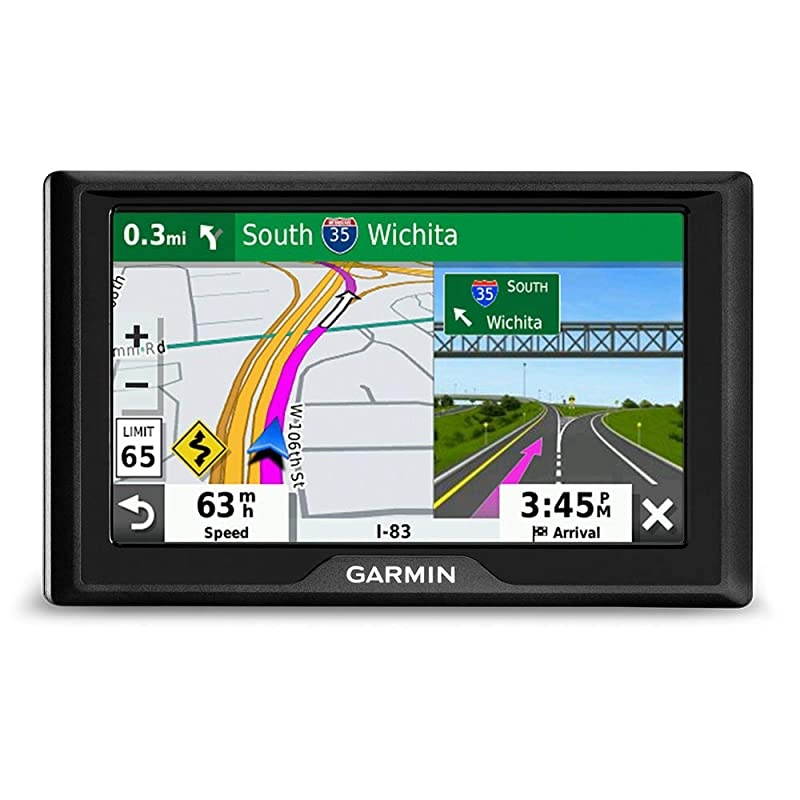
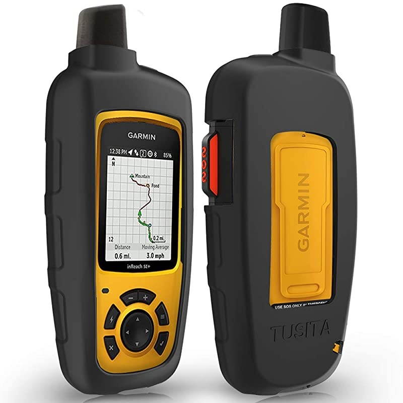
Buy Wyoming Hunting Map for Garmin GPS Hunt Chip with Public amp Private Land Ownership Hunting Units Includes Premium Membership for Hunting App for iPhone Android amp Web in United States - Cartnear.com
Wyoming Hunting Map for Garmin GPS Hunt Chip with Public amp Private Land Ownership Hunting Units Includes Premium Membership for Hunting App for iPhone Android amp Web
CTNR1265371 CTNR1265371Bearpaw
2027-01-31
/itm/wyoming-hunting-map-for-garmin-gps-hunt-chip-with-public-amp-private-land-ownership-hunting-units-includes-premium-membership-for-hunting-app-for-iphone-android-amp-web-1265371
USD
184.11
$ 184.11 $ 187.87 2% Off
Item Added to Cart
customer
*Product availability is subject to suppliers inventory
SHIPPING ALL OVER UNITED STATES
100% MONEY BACK GUARANTEE
EASY 30 DAYSRETURNS & REFUNDS
24/7 CUSTOMER SUPPORT
TRUSTED AND SAFE WEBSITE
100% SECURE CHECKOUT
**********Land
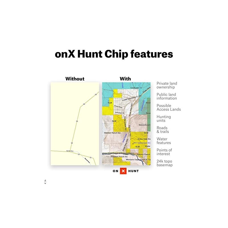
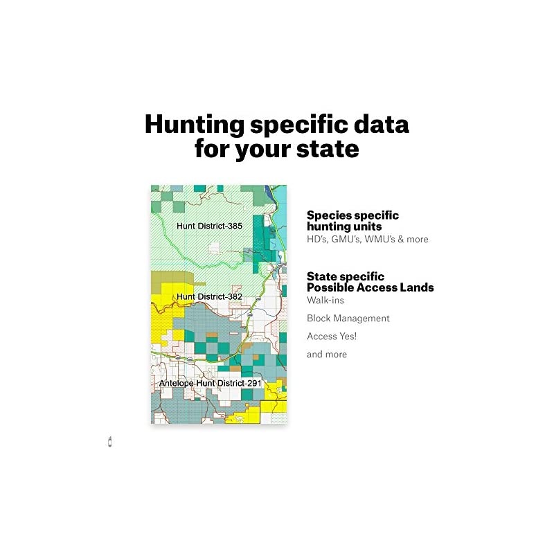
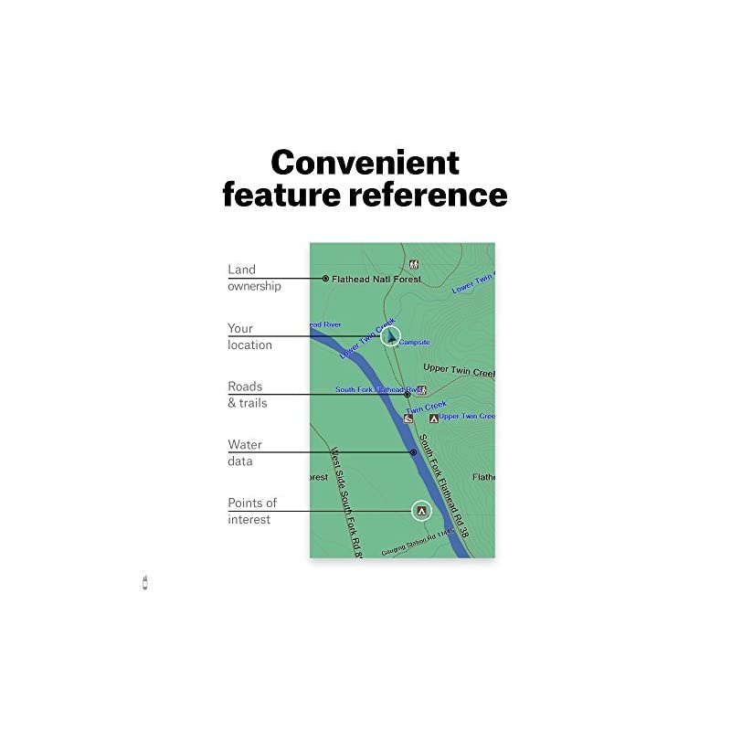
Ownership: Color-coded public and private lands, Land owner names with property boundaries*****Geographic: 24K topo, Section lines & numbers, roads, Water Data, Key points of interest*****State
Specific: Game Management or Hunting Units, Hunter access programs, Conservation and program lands*****Road and
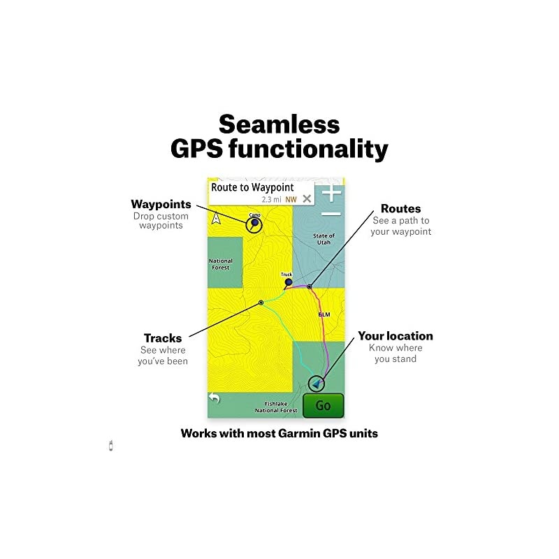
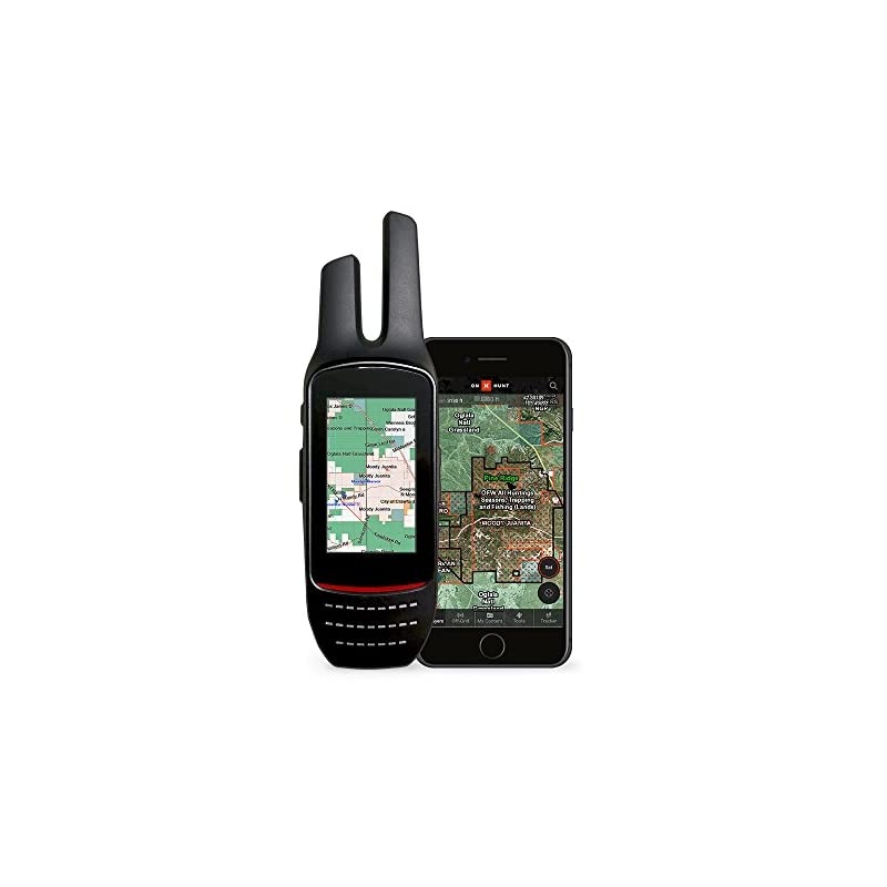
Trail Data: View city, highway, county, Forest Service, back-roads, trail systems, and more*****HUNT Membership for phone, tablet, and computer included

